Old Maps of Downs, Kansas
Explore 18 old maps of Downs, spanning from 1893 to today. These high-resolution historic maps reveal how streets, neighborhoods, landmarks, and natural features evolved over time — perfect for genealogy, metal detecting, research, and local history exploration.
What you can do with these maps:
- See how Downs changed over time: Compare historical maps to modern-day views to trace roads, homesites, rail lines & more.
- View detailed metadata: Each map includes creators, publishers, year, scale, and archive source.
- Overlay maps with satellite & LiDAR: Visualize the past alongside modern tools to explore terrain & human change.
- Trusted historical sources: Maps sourced from the USGS, Library of Congress, and other archives.
- Access maps your way: View online, download high-res files, or order prints for personal or research use.
Start exploring old maps of Downs to uncover forgotten places, hidden landmarks, and the deep history beneath your feet.
Downs, KS maps
(18)- 1893 Map of Smith Center
 1893 Smith Center1893 Print · USGSNorth-central Kansas emerges in the early 1890s as a landscape of grid-patterned townships and growing rail towns. Researchers can trace the early footprints of Smith Center and Lebanon or locate vanished points like Jacksonburg and Womer.3 unique versions available
 - 1896 Map of Osborne
 1896 Osborne1896 Print · USGSNorth Central Kansas in the late nineteenth century was a landscape of budding railroad towns and river-fed townships. Researchers can trace the early layout of Osborne and Luray, or locate vanished rural hubs like Corinth, Bristow, and the Meade Ranch.4 unique versions available
 - 1953 Map of Downs South
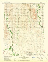
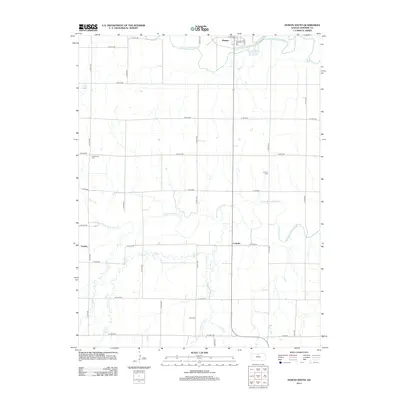
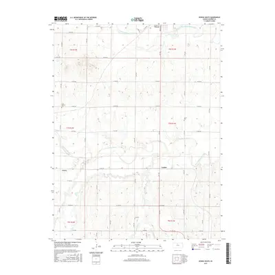
 1953 Downs South1953 Print · USGSOsborne County farming and transit are captured here in the early fifties, where the river and rail lines converge. Genealogists can locate family landmarks such as Iowa Cem and Cottonwood Sch along the South Fork Solomon River.3 unique versions available
 - 1955 Map of Beloit, 1971 Print
 1955 Beloit1971 Print · USGSNorth Central Kansas in the mid-fifties shows a landscape of river-valley agriculture and expanding water infrastructure. Genealogists can trace the rail lines of the Union Pacific through towns like Nicodemus, Cawker City, and the State Sanatorium.3 unique versions available
 - 1959 Map of Beloit
 1959 Beloit1959 Print · USGSNorth Central Kansas at mid-century reveals a landscape shaped by river valleys and the expansion of massive water reservoirs. Genealogists and historians can trace the rail-town connections of Beloit and Norton or locate the site of the new Webster Dam.3 unique versions available
 - 1960 Map of Downs North, 1962 Print
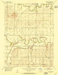
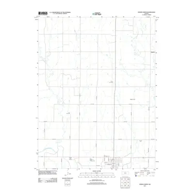
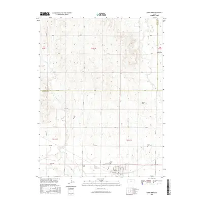
 1960 Downs North1962 Print · USGSThe Smith and Osborne County borderlands come to life in the early 1960s at the junction of the Solomon River forks. Researchers can locate vanished rural landmarks like Pleasant Ridge Sch, the settlement of Dispatch, and Rose Valley Ch.2 unique versions available
 - 1985 Map of Beloit
 1985 Beloit1985 Print · USGSNorth Central Kansas in the mid-eighties shows a landscape shaped by the Solomon and Saline rivers and the massive Waconda Lake. Researchers can trace the routes of the Missouri Pacific RR and locate rural landmarks like the State Girls School and Denmark.2 unique versions available
 - 1985 Map of Smith Center
 1985 Smith Center1985 Print · USGSNorth Central Kansas in the mid-eighties shows a landscape of small agricultural hubs like Smith Center and Mankato linked by the Missouri Pacific line. Researchers can locate the Geographic Center of 48 States and trace family roots near Fairview Cem or along Waconda Lake.2 unique versions available
 - 2009 Map of Downs South, 2009 Print
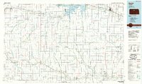
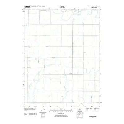 2009 Downs South2009 Print · USGSCovers Downs, including Corinth, Forney, and other nearby areas
 - 2009 Map of Downs North, 2009 Print
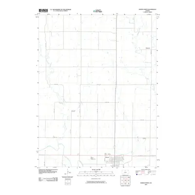 2009 Downs North2009 Print · USGSCovers Downs, including Dispatch, Osborne County, and other nearby areas
 - 2012 Map of Downs South, 2012 Print
 2012 Downs South2012 Print · USGSCovers Downs, including Corinth, Forney, and other nearby areas
 - 2012 Map of Downs North, 2012 Print
 2012 Downs North2012 Print · USGSCovers Downs, including Dispatch, Osborne County, and other nearby areas
 - 2015 Map of Downs North, 2015 Print
 2015 Downs North2015 Print · USGSCovers Downs, including Dispatch, Osborne County, and other nearby areas
 - 2015 Map of Downs South, 2015 Print
 2015 Downs South2015 Print · USGSCovers Downs, including Corinth, Forney, and other nearby areas
 - 2018 Map of Downs South, 2018 Print
 2018 Downs South2018 Print · USGSCovers Downs, including Corinth, Forney, and other nearby areas
 - 2018 Map of Downs North, 2018 Print
 2018 Downs North2018 Print · USGSCovers Downs, including Dispatch, Osborne County, and other nearby areas
 - 2022 Map of Downs South, 2022 Print
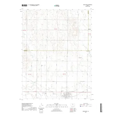
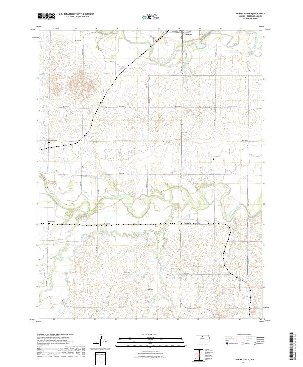 2022 Downs South2022 Print · USGSOsborne County, Kansas, is captured here in the early 2020s, showcasing the rural landscape south of Downs. Researchers can locate historic sites such as Corinth Cemetery and the settlement of Forney along the winding South Fork Solomon River.
 - 2022 Map of Downs North, 2022 Print
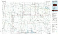
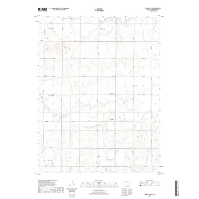
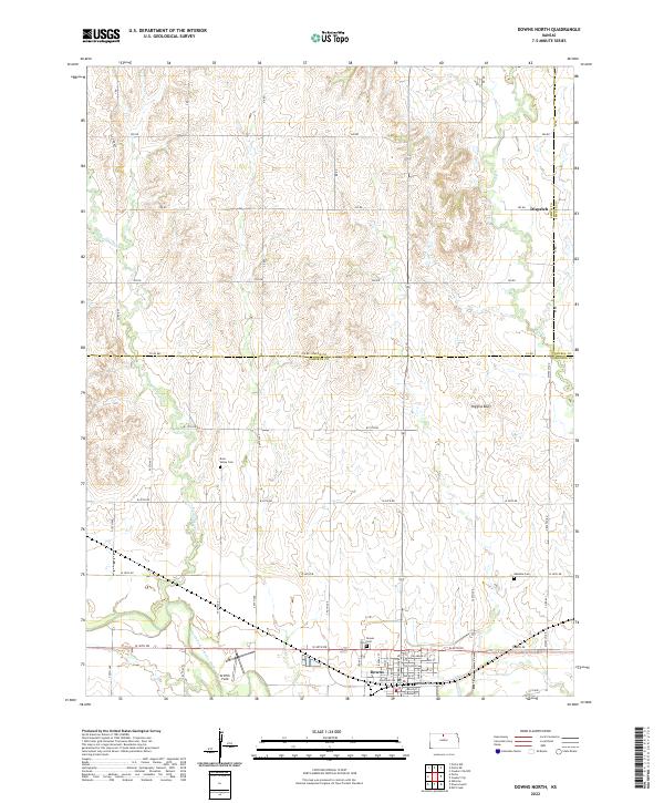 2022 Downs North2022 Print · USGSNorth Central Kansas is documented here in the early twenty-first century as it spans the borders of Smith, Osborne, and Jewell counties. Researchers can locate family sites near Rose Valley Cem, explore the streets of Downs, or trace the winding Twelvemile Cr.
End of results
Showing maps 1-18 of 18
Top cities near Downs
- Osborne historical maps
- Cawker City historical maps
- Tipton historical maps
- Portis historical maps
- Harlan historical maps
- Ionia historical maps
See more
Frequently asked questions
- What are the different types of historical maps available for Downs?
- What is the oldest map of Downs?
- Where can I purchase historical maps of Downs for my home or office?
- Where can I download high-res historical maps of Downs?
- Are there historical topographic maps available for Downs?
- Is there historical aerial imagery available for Downs?
- Where are historical maps of Downs sourced from?