2000s (21st Century) Maps of Downs, Kansas
Explore 10 historic maps of Downs from the 2000s (21st Century). These maps offer a rare glimpse into what life looked like during the 2000s — showing old roads, neighborhoods, homes, and landmarks that have changed or disappeared over time.
Whether you're researching your family's past, planning a metal detecting trip, or studying how Downs's landscape evolved across the 2000s, these high-resolution maps are a powerful tool for exploring the history of this region.
- Focus on a specific era: All maps on this page are from the 2000s, giving you a focused view of this time period.
- See what’s changed: Compare century-old streets, trails, and buildings to today's modern landscape using overlays and satellite layers.
- Research with precision: Use these maps for genealogy, historical research, land use analysis, or educational projects.
- View, download, or print: Maps are fully viewable online in high resolution, and can be downloaded or printed for your own records.
Start exploring Downs's history through authentic maps from the 2000s. This is your window into the past.
Downs, KS maps
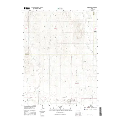
(10)- 2009 Map of Downs South, 2009 Print
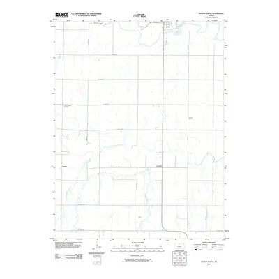 2009 Downs South2009 Print · USGSCovers Downs, including Corinth, Forney, and other nearby areas
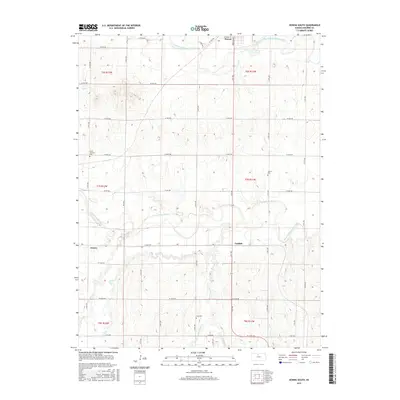
 - 2009 Map of Downs North, 2009 Print
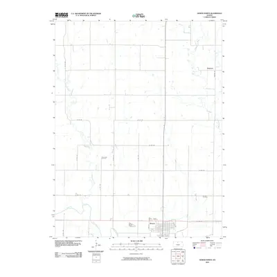 2009 Downs North2009 Print · USGSCovers Downs, including Dispatch, Osborne County, and other nearby areas
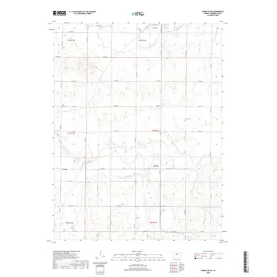
 - 2012 Map of Downs South, 2012 Print
 2012 Downs South2012 Print · USGSCovers Downs, including Corinth, Forney, and other nearby areas
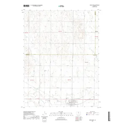
 - 2012 Map of Downs North, 2012 Print
 2012 Downs North2012 Print · USGSCovers Downs, including Dispatch, Osborne County, and other nearby areas
 - 2015 Map of Downs North, 2015 Print
 2015 Downs North2015 Print · USGSCovers Downs, including Dispatch, Osborne County, and other nearby areas
 - 2015 Map of Downs South, 2015 Print
 2015 Downs South2015 Print · USGSCovers Downs, including Corinth, Forney, and other nearby areas
 - 2018 Map of Downs South, 2018 Print
 2018 Downs South2018 Print · USGSCovers Downs, including Corinth, Forney, and other nearby areas
 - 2018 Map of Downs North, 2018 Print
 2018 Downs North2018 Print · USGSCovers Downs, including Dispatch, Osborne County, and other nearby areas
 - 2022 Map of Downs South, 2022 Print
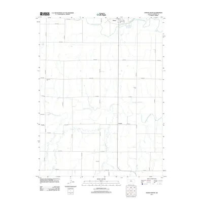
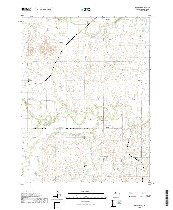 2022 Downs South2022 Print · USGSOsborne County, Kansas, is captured here in the early 2020s, showcasing the rural landscape south of Downs. Researchers can locate historic sites such as Corinth Cemetery and the settlement of Forney along the winding South Fork Solomon River.
 - 2022 Map of Downs North, 2022 Print
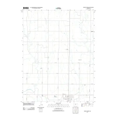
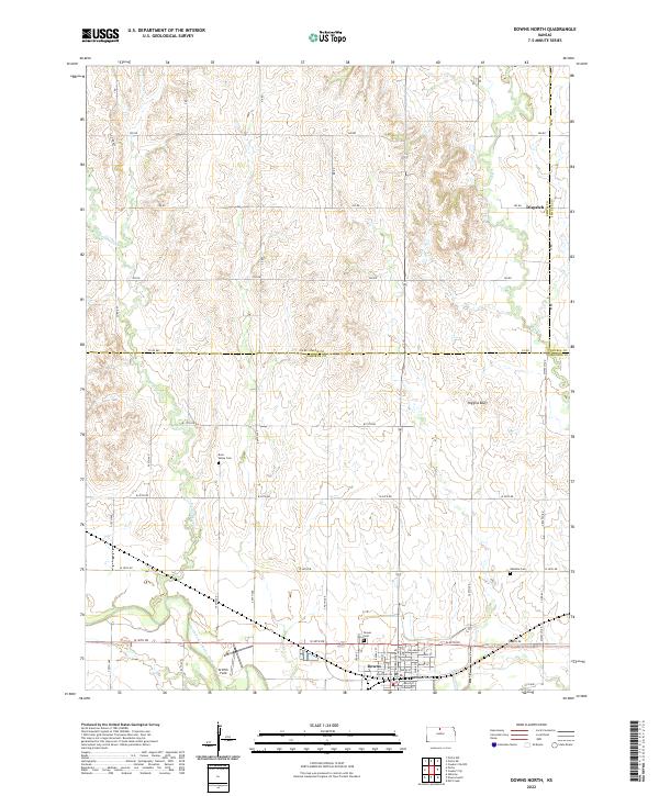 2022 Downs North2022 Print · USGSNorth Central Kansas is documented here in the early twenty-first century as it spans the borders of Smith, Osborne, and Jewell counties. Researchers can locate family sites near Rose Valley Cem, explore the streets of Downs, or trace the winding Twelvemile Cr.
End of results
Showing maps 1-10 of 10
Top cities near Downs
- Osborne historical maps
- Cawker City historical maps
- Tipton historical maps
- Portis historical maps
- Harlan historical maps
- Ionia historical maps
See more
Frequently asked questions
- What are the different types of historical maps available for Downs?
- What is the oldest map of Downs?
- Where can I purchase historical maps of Downs for my home or office?
- Where can I download high-res historical maps of Downs?
- Are there historical topographic maps available for Downs?
- Is there historical aerial imagery available for Downs?
- Where are historical maps of Downs sourced from?