Old Maps of Chevron, Kansas for Metal Detecting
Plan your next treasure hunt with 11 historic maps of Chevron. Find old homesites, ghost towns, trails, and gathering spots that may be lost to time — perfect for identifying promising metal detecting locations.
- Locate forgotten sites: Uncover places like long-lost settlements, abandoned rail lines, or gathering spots.
- Plan better hunts: Use map overlays combined with LiDAR or satellite views to narrow in on historically rich areas.
- Made for detectorists: Thousands of hobbyists use these maps to discover relics, coins, and hidden history.
Use these historic maps to boost your research and find new opportunities beneath the surface of Chevron.
Chevron, KS maps
(11)- 1940 Map of Scott City
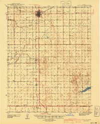 1940 Scott City1940 Print · USGSWestern Kansas agriculture and early energy development intersect in the late 1930s. Genealogists can trace rural school districts like Buffalo Sch and Lone Valley Sch or locate ancestors in the Scott City Cem.
 - 1951 Map of Scott City, 1952 Print
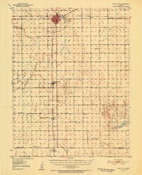 1951 Scott City1952 Print · USGSScott County at mid-century was a landscape of rail-driven commerce and emerging energy production. Genealogists can trace rural family roots through landmarks like Kingdom Hall Ch, the Scott City Cem, and several country schools including Hines Sch and Mt Hope Sch.
 - 1955 Map of Scott City, 1969 Print
 1955 Scott City1969 Print · USGSWestern Kansas in the mid-fifties is captured here as a landscape of rural schoolhouses and significant rail corridors. Family historians can trace the locations of Skyline and Beaver Creek Schools or follow the Union Pacific line through Oakley and Sharon Springs.4 unique versions available
 - 1958 Map of Scott City
 1958 Scott City1958 Print · USGSWestern Kansas at the peak of the post-war era reveals a landscape of high-plains agriculture and vital rail junctions. Genealogists and historians can trace old country school sites like Prairie Bell School, the landmark Chalk Pyramids, and small stops along the Union Pacific and Missouri Pacific.
 - 1976 Map of Shallow Water, 1978 Print
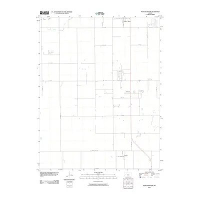
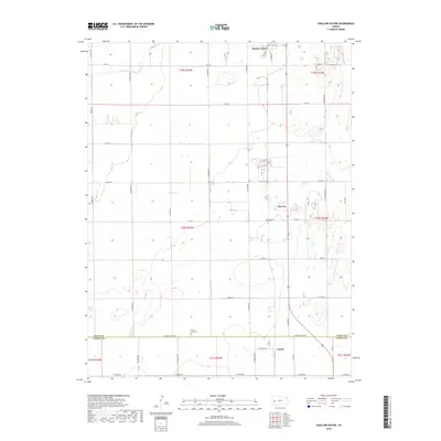
 1976 Shallow Water1978 Print · USGSWestern Kansas during the mid-seventies shows a landscape of high-plains agriculture and rising energy production. Genealogists and local historians can trace the rural infrastructure of Shallow Water and Friend, from the Prairie View Ch to the industrial Refinery and sprawling Oil Field.
 - 1985 Map of Scott City
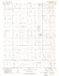
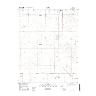
 1985 Scott City1985 Print · USGSWestern Kansas in the mid-eighties shows a landscape of rail-linked grain towns and emerging energy fields. Genealogists and researchers can trace the Atchison Topeka and Santa Fe line through Alamota and Beeler, or locate family sites near White Woman Bottoms and Walnut Creek.2 unique versions available
 - 2009 Map of Shallow Water, 2009 Print
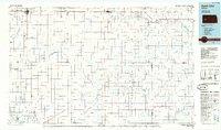
 2009 Shallow Water2009 Print · USGSCovers Chevron, including Shallow Water, Friend, and other nearby areas
 - 2012 Map of Shallow Water, 2012 Print
 2012 Shallow Water2012 Print · USGSCovers Chevron, including Shallow Water, Friend, and other nearby areas
 - 2015 Map of Shallow Water, 2015 Print
 2015 Shallow Water2015 Print · USGSCovers Chevron, including Shallow Water, Friend, and other nearby areas
 - 2018 Map of Shallow Water, 2018 Print
 2018 Shallow Water2018 Print · USGSCovers Chevron, including Shallow Water, Friend, and other nearby areas
 - 2022 Map of Shallow Water, 2022 Print
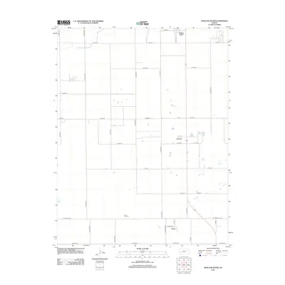
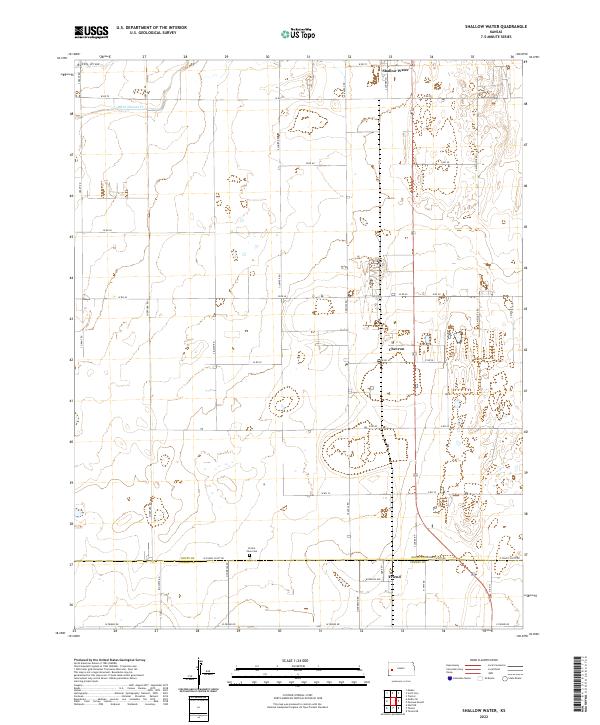 2022 Shallow Water2022 Print · USGSWestern Kansas agriculture and rural settlements are documented here in the early twenty-first century. Genealogists and local historians can locate Prairie View Cemetery and trace the paths of White Woman Creek near Shallow Water.
End of results
Showing maps 1-11 of 11
Top cities near Chevron
Frequently asked questions
- What are the different types of historical maps available for Chevron?
- What is the oldest map of Chevron?
- Where can I purchase historical maps of Chevron for my home or office?
- Where can I download high-res historical maps of Chevron?
- Are there historical topographic maps available for Chevron?
- Is there historical aerial imagery available for Chevron?
- Where are historical maps of Chevron sourced from?