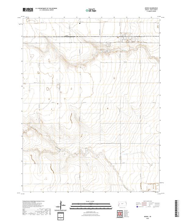
Old Maps of Modoc, Kansas for Hiking & Exploration
Hike through history with 12 historic maps of Modoc. Explore old trails, ghost towns, and forgotten backroads — perfect for outdoor adventurers and local explorers.
- Rediscover forgotten places: Map out old mining camps, roads, and footpaths that no longer exist on modern maps.
- Layer with modern tools: Combine with LiDAR or satellite views to plan hikes through historical terrain.
- Made for exploration: Popular among hikers, overlanders, and local history lovers.
Use these maps to find adventure and explore the hidden past of Modoc.
Modoc, KS maps
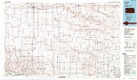
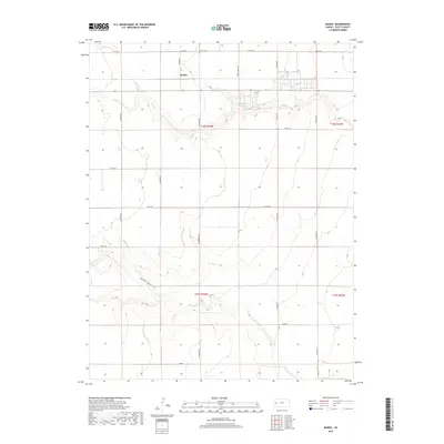
(12)- 1941 Map of Modoc
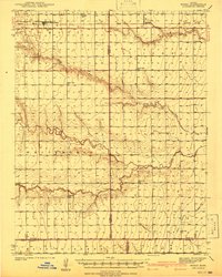 1941 Modoc1941 Print · USGSWichita and Scott counties are shown just before the war, when the rural school system and the Missouri Pacific railroad anchored the High Plains economy. Researchers can locate numerous local landmarks including St Marys Cem, Lydia Ch, and schools like Prairie Bell Sch.
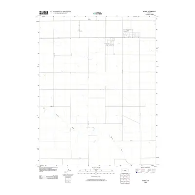
 - 1951 Map of Modoc, 1952 Print
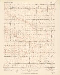 1951 Modoc1952 Print · USGSWestern Kansas farming communities are captured in the early fifties as the rural school system and steam-era rail lines still defined the landscape. Genealogists can locate family landmarks like St Marys Cem, Lydia Ch, and several country schools including Grandview Sch.
 - 1955 Map of Scott City, 1969 Print
 1955 Scott City1969 Print · USGSWestern Kansas in the mid-fifties is captured here as a landscape of rural schoolhouses and significant rail corridors. Family historians can trace the locations of Skyline and Beaver Creek Schools or follow the Union Pacific line through Oakley and Sharon Springs.4 unique versions available
 - 1958 Map of Scott City
 1958 Scott City1958 Print · USGSWestern Kansas at the peak of the post-war era reveals a landscape of high-plains agriculture and vital rail junctions. Genealogists and historians can trace old country school sites like Prairie Bell School, the landmark Chalk Pyramids, and small stops along the Union Pacific and Missouri Pacific.
 - 1976 Map of Modoc, 1978 Print
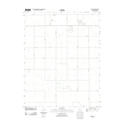
 1976 Modoc1978 Print · USGSScott County, Kansas, is captured in the mid-seventies, showing the high plains landscape and the vital rail corridor through Modoc. Genealogists and historians can trace the townsite at Modoc Cem and the path of the Missouri Pacific railroad.
 - 1985 Map of Leoti
 1985 Leoti1985 Print · USGSWestern Kansas at the mid-eighties was a landscape defined by its rail-side grain stops and a grid of rural section roads. Researchers can trace the path of the Missouri Pacific through Leoti or locate small landmarks like Mark Hoard Memorial Airfield and the County Cem.
 - 1987 Map of Leoti, 1988 Print
 1987 Leoti1988 Print · USGSWestern Kansas at the close of the eighties shows a landscape defined by industrial gas fields and a sprawling railroad network. Researchers can trace small-town development and rural infrastructure near Leoti, Tribune, and the Mark Heard Memorial Airfield.
 - 2009 Map of Modoc, 2009 Print
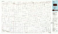
 2009 Modoc2009 Print · USGSCovers Modoc, including Scott County, United States, and other nearby areas
 - 2012 Map of Modoc, 2012 Print
 2012 Modoc2012 Print · USGSCovers Modoc, including Scott County, United States, and other nearby areas
 - 2015 Map of Modoc, 2015 Print
 2015 Modoc2015 Print · USGSCovers Modoc, including Scott County, United States, and other nearby areas
 - 2018 Map of Modoc, 2018 Print
 2018 Modoc2018 Print · USGSCovers Modoc, including Scott County, United States, and other nearby areas
 - 2022 Map of Modoc, 2022 Print
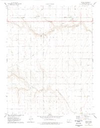
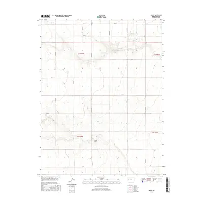
 2022 Modoc2022 Print · USGSScott County, Kansas, is seen here in recent years as a landscape of structured agricultural sections and quiet rural outposts. Researchers can trace the local cemetery at Modoc Cem and follow the natural drainage of Lion Cr and Rocky Draw.
End of results
Showing maps 1-12 of 12
Top cities near Modoc
Frequently asked questions
- What are the different types of historical maps available for Modoc?
- What is the oldest map of Modoc?
- Where can I purchase historical maps of Modoc for my home or office?
- Where can I download high-res historical maps of Modoc?
- Are there historical topographic maps available for Modoc?
- Is there historical aerial imagery available for Modoc?
- Where are historical maps of Modoc sourced from?