Old Maps of Montpelier, Kentucky for Academic Research
Study the evolution of Montpelier with 10 high-resolution historic maps. Whether you're teaching, researching, or modeling changes in land use, these maps provide essential visual documentation of urban, environmental, and geographic change.
- Analyze long-term change: Track patterns in development, transportation, and natural features.
- Ideal for environmental or urban studies: Support academic projects with primary historical map data.
- Use in the classroom or lab: Educators and researchers rely on these maps to bring historical context to life.
These maps are a powerful tool for teaching, research, and visualizing how Montpelier has changed over the decades.
Montpelier, KY maps
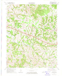
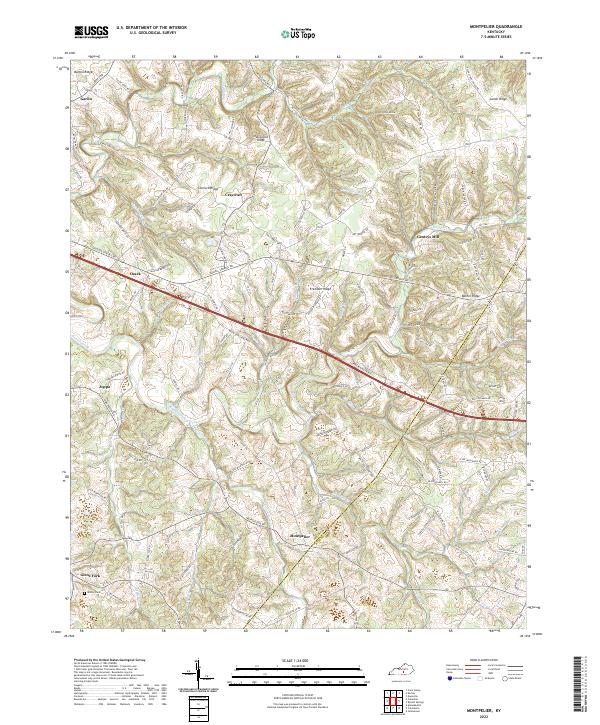
(10)- 1953 Map of Montpelier, 1955 Print
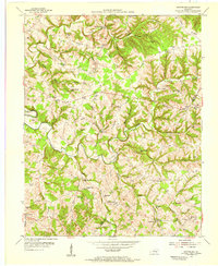 1953 Montpelier1955 Print · USGSAdair and Russell Counties in the early fifties show a landscape of small agricultural hubs connected by winding creek-side roads. Researchers can trace family roots at Gentrys Mill, find numerous rural schools like Rainfall Sch, and locate family burial sites such as Watkins Cem.2 unique versions available
 - 1957 Map of Winchester, 1968 Print
 1957 Winchester1968 Print · USGSCentral Kentucky's landscape in the mid-twentieth century features the sprawling Fort Knox and the early parkway system. Genealogists and historians can trace rail lines like the Southern Railway and find landmarks from Bernheim Forest to Pilot Knob.3 unique versions available
 - 1960 Map of Winchester
 1960 Winchester1960 Print · USGSCentral Kentucky's diverse landscape is shown here at mid-century, from the bluegrass plains to the rugged Pottsville Escarpment. Genealogists and historians can trace the rail-and-river network connecting towns like Bardstown and Stanford alongside landmarks like Lake Cumberland.
 - 1973 Map of Montpelier, 1974 Print
 1973 Montpelier1974 Print · USGSAdair and Russell Counties are shown here during the early seventies as the modern highway system began to intersect with old ridge-top settlements. Researchers can locate numerous rural landmarks like Gentrys Mill, New Concord Ch, and Wildcat Cave Hol.2 unique versions available
 - 1986 Map of Campbellsville
 1986 Campbellsville1986 Print · USGSCentral Kentucky in the mid-eighties was a landscape of deep river valleys and high ridges. Genealogists can trace family holdings near rural settlements like Phillipsburg or locate landmarks such as Mt Gilead Ch and the Magnolia Gas Storage Field.2 unique versions available
 - 2010 Map of Montpelier, 2010 Print
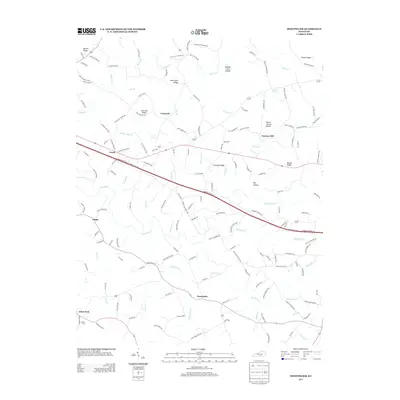
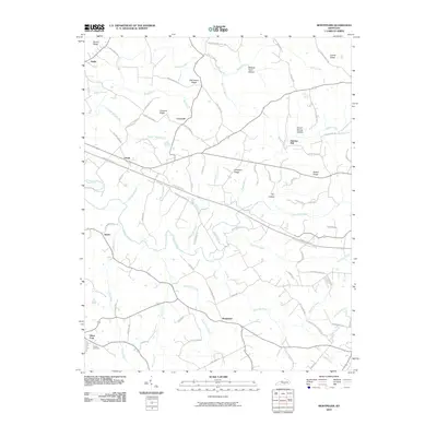 2010 Montpelier2010 Print · USGSCovers Montpelier, including Joppa, Craycraft, and other nearby areas
 - 2013 Map of Montpelier, 2013 Print
 2013 Montpelier2013 Print · USGSCovers Montpelier, including Joppa, Craycraft, and other nearby areas
 - 2016 Map of Montpelier, 2016 Print
 2016 Montpelier2016 Print · USGSCovers Montpelier, including Joppa, Craycraft, and other nearby areas
 - 2019 Map of Montpelier, 2019 Print
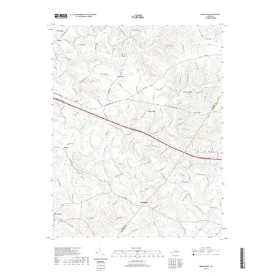 2019 Montpelier2019 Print · USGSCovers Montpelier, including Joppa, Craycraft, and other nearby areas
 - 2022 Map of Montpelier, 2022 Print
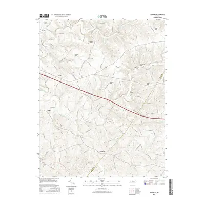
 2022 Montpelier2022 Print · USGSAdair County's rural heartland is shown here in the modern era, where ridge-top communities and creek-side settlements still define the landscape. Local history researchers can trace family landmarks like Wesley Chapel, Gentrys Mill, and Tavern Spring Cem among the many winding hollows.
End of results
Showing maps 1-10 of 10
Top cities near Montpelier
- Columbia historical maps
- Russell Springs historical maps
- Burkesville historical maps
- Jamestown historical maps
Frequently asked questions
- What are the different types of historical maps available for Montpelier?
- What is the oldest map of Montpelier?
- Where can I purchase historical maps of Montpelier for my home or office?
- Where can I download high-res historical maps of Montpelier?
- Are there historical topographic maps available for Montpelier?
- Is there historical aerial imagery available for Montpelier?
- Where are historical maps of Montpelier sourced from?