Old Maps of Purdy, Kentucky for Metal Detecting
Plan your next treasure hunt with 10 historic maps of Purdy. Find old homesites, ghost towns, trails, and gathering spots that may be lost to time — perfect for identifying promising metal detecting locations.
- Locate forgotten sites: Uncover places like long-lost settlements, abandoned rail lines, or gathering spots.
- Plan better hunts: Use map overlays combined with LiDAR or satellite views to narrow in on historically rich areas.
- Made for detectorists: Thousands of hobbyists use these maps to discover relics, coins, and hidden history.
Use these historic maps to boost your research and find new opportunities beneath the surface of Purdy.
Purdy, KY maps
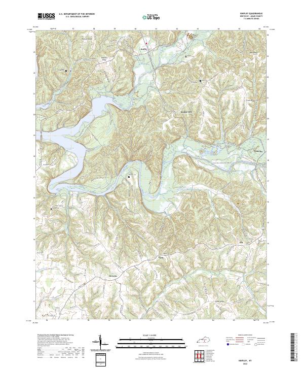
(10)- 1954 Map of Knifley, 1955 Print
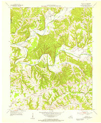 1954 Knifley1955 Print · USGSAdair County in the mid-fifties is a landscape of high ridges and winding river valleys before modern development reshaped the rural landscape. Genealogists and historians can locate dozens of country institutions, from the Little Cake Sch to the Bearwallow Ch and Knifley post office.2 unique versions available
 - 1957 Map of Winchester, 1968 Print
 1957 Winchester1968 Print · USGSCentral Kentucky's landscape in the mid-twentieth century features the sprawling Fort Knox and the early parkway system. Genealogists and historians can trace rail lines like the Southern Railway and find landmarks from Bernheim Forest to Pilot Knob.3 unique versions available
 - 1960 Map of Winchester
 1960 Winchester1960 Print · USGSCentral Kentucky's diverse landscape is shown here at mid-century, from the bluegrass plains to the rugged Pottsville Escarpment. Genealogists and historians can trace the rail-and-river network connecting towns like Bardstown and Stanford alongside landmarks like Lake Cumberland.
 - 1970 Map of Knifley, 1972 Print
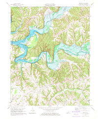 1970 Knifley1972 Print · USGSAdair County communities meet the rising waters of the Green River in the early seventies. Genealogists can locate family-named sites such as Damron Cem, Little Cake Ch, and the old Robinson Ridge School Rd.2 unique versions available
 - 1986 Map of Campbellsville
 1986 Campbellsville1986 Print · USGSCentral Kentucky in the mid-eighties was a landscape of deep river valleys and high ridges. Genealogists can trace family holdings near rural settlements like Phillipsburg or locate landmarks such as Mt Gilead Ch and the Magnolia Gas Storage Field.2 unique versions available
 - 2010 Map of Knifley, 2010 Print
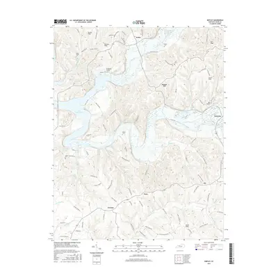
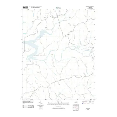 2010 Knifley2010 Print · USGSCovers Purdy, including Christine, Neatsville, and other nearby areas
 - 2013 Map of Knifley, 2013 Print
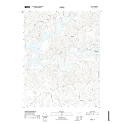
 2013 Knifley2013 Print · USGSCovers Purdy, including Christine, Neatsville, and other nearby areas
 - 2016 Map of Knifley, 2016 Print
 2016 Knifley2016 Print · USGSCovers Purdy, including Christine, Neatsville, and other nearby areas
 - 2019 Map of Knifley, 2019 Print
 2019 Knifley2019 Print · USGSCovers Purdy, including Christine, Neatsville, and other nearby areas
 - 2022 Map of Knifley, 2022 Print
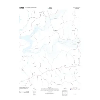
 2022 Knifley2022 Print · USGSAdair County, Kentucky, is shown in the early 2020s as the waters of the Green River Lake snake through deep ridges. Local historians can trace family burial sites like Parker Chapel Cem and Damron Cem or the rural roads connecting Knifley and Purdy.
End of results
Showing maps 1-10 of 10
Top cities near Purdy
- Campbellsville historical maps
- Columbia historical maps
- Russell Springs historical maps
- Jamestown historical maps
Frequently asked questions
- What are the different types of historical maps available for Purdy?
- What is the oldest map of Purdy?
- Where can I purchase historical maps of Purdy for my home or office?
- Where can I download high-res historical maps of Purdy?
- Are there historical topographic maps available for Purdy?
- Is there historical aerial imagery available for Purdy?
- Where are historical maps of Purdy sourced from?