Old Maps of Scottsville, Kentucky
Explore 25 old maps of Scottsville, spanning from 1921 to today. These high-resolution historic maps reveal how streets, neighborhoods, landmarks, and natural features evolved over time — perfect for genealogy, metal detecting, research, and local history exploration.
What you can do with these maps:
- See how Scottsville changed over time: Compare historical maps to modern-day views to trace roads, homesites, rail lines & more.
- View detailed metadata: Each map includes creators, publishers, year, scale, and archive source.
- Overlay maps with satellite & LiDAR: Visualize the past alongside modern tools to explore terrain & human change.
- Trusted historical sources: Maps sourced from the USGS, Library of Congress, and other archives.
- Access maps your way: View online, download high-res files, or order prints for personal or research use.
Start exploring old maps of Scottsville to uncover forgotten places, hidden landmarks, and the deep history beneath your feet.
Scottsville, KY maps
(25)- 1921 Map of Bowling Green, 1955 Print
 1921 Bowling Green1955 Print · USGSBowling Green and its surrounding counties are shown here just after the Great War, when the Louisville and Nashville railroad fueled regional growth. Genealogists can trace hundreds of family landmarks, from Mussey Mill to schools like Cave Mill School and the remote Antioch Chapel.
 - 1923 Map of Bowling Green
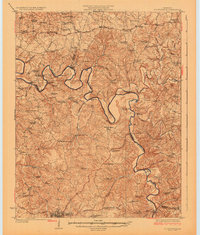
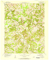
 1923 Bowling Green1923 Print · USGSThe Bowling Green area in the early 1920s was a landscape defined by the winding Barren River and the busy Louisville and Nashville Railroad. Researchers can trace ancestral roots through dozens of rural sites like Cassadays Store, Massey Mill, and the Lost River.4 unique versions available
 - 1926 Map of Scottsville
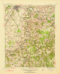
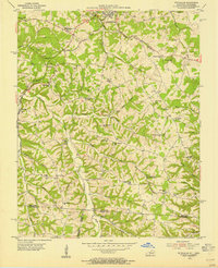
 1926 Scottsville1926 Print · USGSThe Barren River valley in the mid-twenties was a landscape of ferries and fords connecting isolated rural schools and churches. Researchers can trace ancestral locations like Scottsville, find the Rocky Hill Game PO, or locate the Rough and Ready School.
 - 1931 Map of Lafayette
 1931 Lafayette1931 Print · USGSThe Kentucky and Tennessee borderlands in the late twenties were a network of tight-knit rural communities connected by winding river hollows. Genealogists and local historians can trace family roots through numerous small landmarks like Austin Sch, Mt Zion Ch, and the settlement of Holland.2 unique versions available
 - 1954 Map of Petroleum, 1955 Print
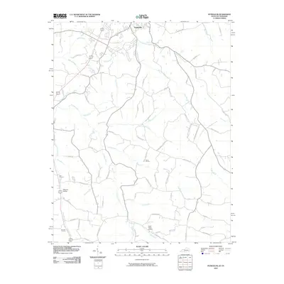
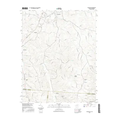
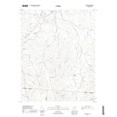
 1954 Petroleum1955 Print · USGSAllen County, Kentucky, supported a thriving rural oil economy in the mid-1950s centered around the namesake town of Petroleum. Researchers can locate numerous active Oil Wells and trace family heritage through sites like White Plains Sch and Mt Pleasant Ch.4 unique versions available
 - 1954 Map of Scottsville, 1955 Print
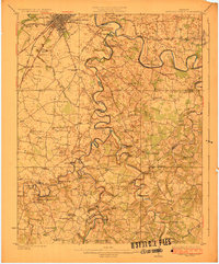
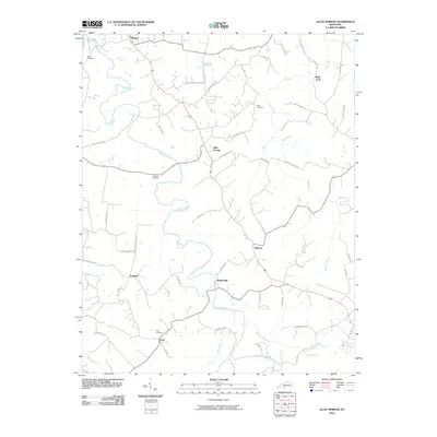
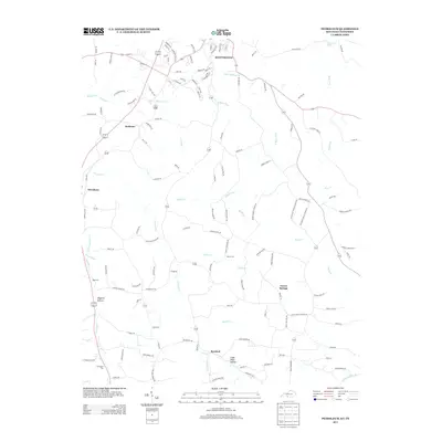
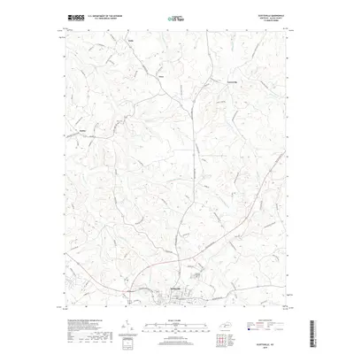
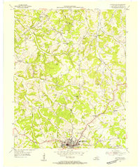 1954 Scottsville1955 Print · USGSAllen County is captured here in the mid-fifties, centered on the activity of the county seat and the surrounding petroleum fields. Genealogists and local historians can trace the rural landscape through a dense concentration of Oil Wells, local landmarks like Clifton Ch, and schoolhouses such as Harrison Sch.4 unique versions available
 - 1954 Map of Allen Springs, 1956 Print
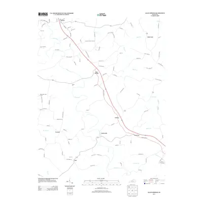
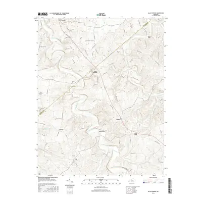
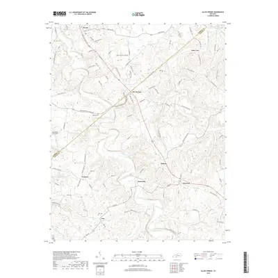
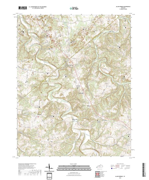
 1954 Allen Springs1956 Print · USGSThe rural boundary of Warren and Allen Counties in the mid-1950s is defined by the winding Trammel Fork and its small farming hamlets. Genealogists and local historians can trace the foundations of communities like Allen Springs and Butlersville, and find landmarks including Halfway Sch and Cave Friendship Ch.2 unique versions available
 - 1956 Map of Nashville, 1971 Print
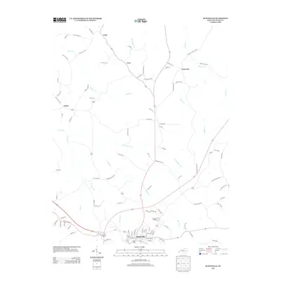
 1956 Nashville1971 Print · USGSThe Tennessee-Kentucky borderlands come into focus in the mid-1960s as major reservoir projects transformed the Cumberland and Tennessee river valleys. Researchers can trace the rail networks of the Louisville and Nashville and visit sites like Fort Campbell and Fort Donelson National Military Park.2 unique versions available
 - 1959 Map of Nashville
 1959 Nashville1959 Print · USGSMiddle Tennessee and Southern Kentucky come into focus during the late fifties, showing the region's transition into a modern transportation and military hub. Researchers can trace the sprawling Fort Campbell Military Reservation or locate historic rail stops along the Tennessee Central Ry and Illinois Central RR.
 - 1985 Map of Bowling Green
 1985 Bowling Green1985 Print · USGSThe rolling borderlands of Kentucky and Tennessee are captured here in the mid-eighties, showing a landscape shaped by the Barren River and deep-rooted rail networks. Genealogists and researchers can trace local landmarks like Prices Mill, Highland Academy, and Green Lawn Cem.3 unique versions available
 - 2010 Map of Scottsville, 2010 Print
 2010 Scottsville2010 Print · USGSCovers Scottsville, including Gainesville, Settle, and other nearby areas
 - 2010 Map of Allen Springs, 2010 Print
 2010 Allen Springs2010 Print · USGSCovers Scottsville, including Halfway, West Fork, and other nearby areas
 - 2010 Map of Petroleum, 2010 Print
 2010 Petroleum2010 Print · USGSCovers Scottsville, including Rodemer, Forest Springs, and other nearby areas
 - 2013 Map of Scottsville, 2013 Print
 2013 Scottsville2013 Print · USGSCovers Scottsville, including Gainesville, Settle, and other nearby areas
 - 2013 Map of Allen Springs, 2013 Print
 2013 Allen Springs2013 Print · USGSCovers Scottsville, including Halfway, West Fork, and other nearby areas
 - 2013 Map of Petroleum, 2013 Print
 2013 Petroleum2013 Print · USGSCovers Scottsville, including Rodemer, Forest Springs, and other nearby areas
 - 2016 Map of Allen Springs, 2016 Print
 2016 Allen Springs2016 Print · USGSCovers Scottsville, including Halfway, West Fork, and other nearby areas
 - 2016 Map of Scottsville, 2016 Print
 2016 Scottsville2016 Print · USGSCovers Scottsville, including Gainesville, Settle, and other nearby areas
 - 2016 Map of Petroleum, 2016 Print
 2016 Petroleum2016 Print · USGSCovers Scottsville, including Rodemer, Forest Springs, and other nearby areas
 - 2019 Map of Allen Springs, 2019 Print
 2019 Allen Springs2019 Print · USGSCovers Scottsville, including Halfway, West Fork, and other nearby areas
 - 2019 Map of Petroleum, 2019 Print
 2019 Petroleum2019 Print · USGSCovers Scottsville, including Rodemer, Forest Springs, and other nearby areas
 - 2019 Map of Scottsville, 2019 Print
 2019 Scottsville2019 Print · USGSCovers Scottsville, including Gainesville, Settle, and other nearby areas
 - 2022 Map of Allen Springs, 2022 Print
 2022 Allen Springs2022 Print · USGSSouthern Kentucky at the Warren and Allen County line reveals a deep agricultural and family history through its scattered cemeteries and rural parishes. Trace early settlement patterns through Willoughby Graveyard, the river crossing at Raley Ford, and small hamlets like Halfway and Butlersville.
 - 2022 Map of Scottsville, 2022 Print
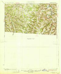
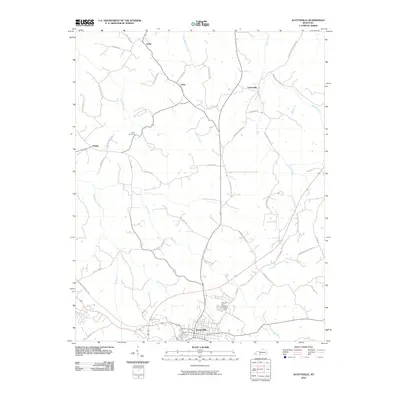
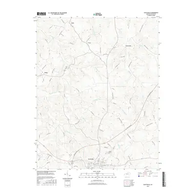
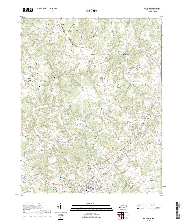 2022 Scottsville2022 Print · USGSAllen County enters the 2020s with a landscape defined by the city of Scottsville and the winding waters of Bays Fork. Genealogists and historians can trace family roots through numerous burial sites like Old Scottsville Cem and the Heeter - Griggs Graveyard.
 - 2022 Map of Petroleum, 2022 Print
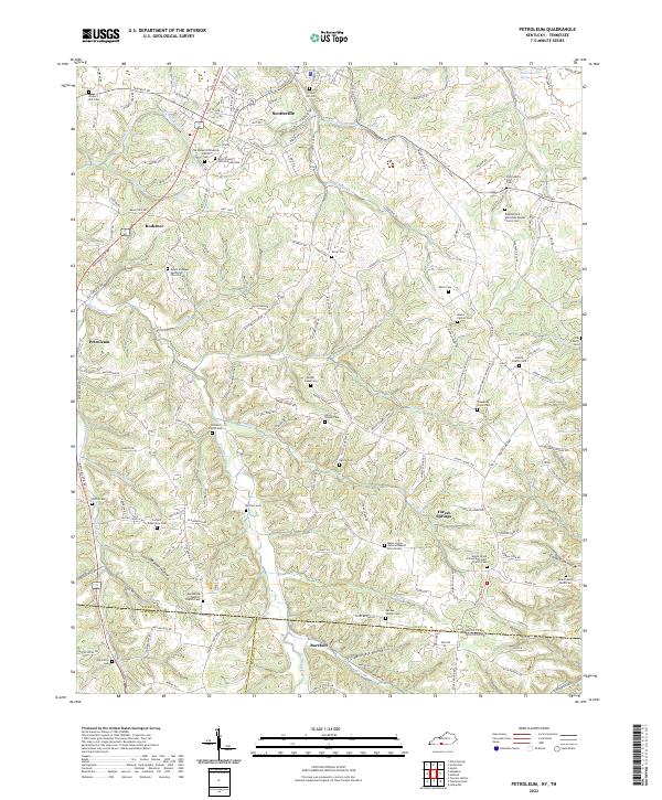 2022 Petroleum2022 Print · USGSAllen County at the Kentucky-Tennessee border reveals a landscape of deep hollows and high ridges centered on the rail lines and rural hamlets. Researchers can trace numerous country burial sites and churches, from Barefoot and Petroleum to the Mount Pleasant Methodist Church Cem.
End of results
Showing maps 1-25 of 25
Top cities near Scottsville
Frequently asked questions
- What are the different types of historical maps available for Scottsville?
- What is the oldest map of Scottsville?
- Where can I purchase historical maps of Scottsville for my home or office?
- Where can I download high-res historical maps of Scottsville?
- Are there historical topographic maps available for Scottsville?
- Is there historical aerial imagery available for Scottsville?
- Where are historical maps of Scottsville sourced from?