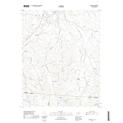
2019 Map of Petroleum
USGS Topo · Published 2019About this map
Scottsville anchors the northern edge of this landscape, where the town grid transitions into a deeply dissected terrain defined by the winding course of Trammel Cr and its many tributaries. The area reflects a classic borderland character, with the Kentucky-Tennessee state line and various county boundaries including Allen and Sumner counties cutting across the hills.
Find a feature on this map
121 named features on this map. Tap any name to fly to it.
Don’t see what you’re looking for? This feature index may not catch every label — zoom into the map to look around manually.
Map Details
Editions of this 2019 Petroleum Map
This is the sole edition of this map. No revisions or reprints were ever made.
Other maps of this area

1921 · Bowling Green
USGS Topo · 1:62,500

1923 · Bowling Green
USGS Topo · 1:62,500

1926 · Scottsville
USGS Topo · 1:62,500

1928 · Adolphus
USGS Topo · 1:48,000

1931 · Lafayette
USGS Topo · 1:62,500

1931 · Adolphus
USGS Topo · 1:62,500

1942 · Gallatin
USGS Topo · 1:100,000

1954 · Austin
USGS Topo · 1:24,000

1954 · Petroleum
USGS Topo · 1:24,000

1954 · Scottsville
USGS Topo · 1:24,000