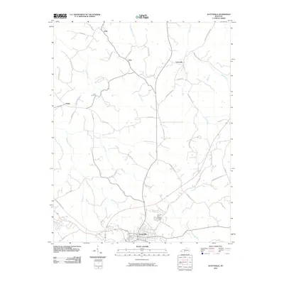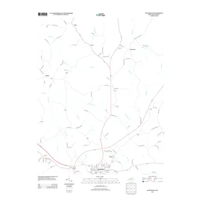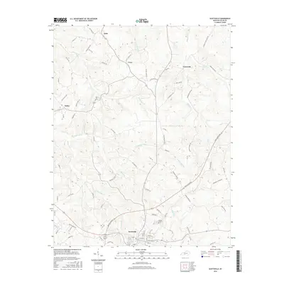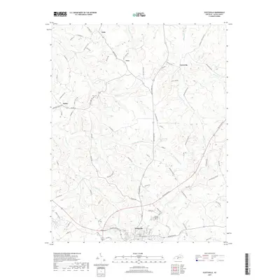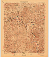
1926 Map of Scottsville
USGS Topo · Published 1926About this map
Scottsville serves as the primary hub in this mid-1920s survey, anchoring a landscape defined by the deep meanders of the Barren River. The river dictates the movement of the era, shown through numerous river crossings such as Motley Ferry, Osborne Ferry, and Port Oliver Ford. These points of transit connected rural agrarian communities that centered around a dense network of country schools, including the distinctively named Rough and Ready School, Sinking Spring School, and Beech Grove School.
Find a feature on this map
96 named features on this map. Tap any name to fly to it.
Don’t see what you’re looking for? This feature index may not catch every label — zoom into the map to look around manually.
Map Details
Editions of this 1926 Scottsville Map
This is the sole edition of this map. No revisions or reprints were ever made.
Historical Maps of Scottsville Through Time
7 maps found