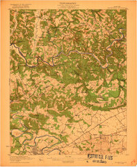
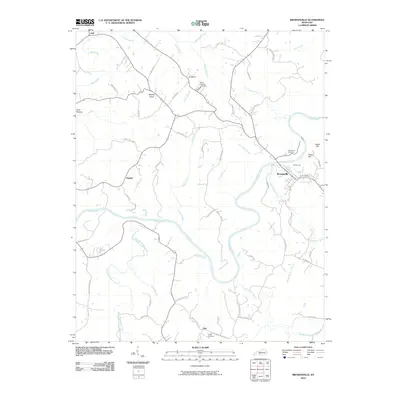
1922 Map of Brownsville
USGS Topo · Published 1922About this map
The Green River carves a winding path through this central Kentucky landscape, dictated by several river crossings including Pittsburg Landing, Davis Ferry, and Parrish Mill Ferry. This 1922 edition shows the transition from the deeply dissected river valleys in the north to the more open country around Bowling Green in the south. The rural character of the era is evidenced by a dense network of country schools and churches, such as Mt Lebanon School, Steep Hollow School, and Bethlehem Church, which served small communities like Reedyville and Asphalt. Transportation is defined by the Louisville and Nashville railroad and the Nashville and Louisville Road passing through Bristow, while the western edge reveals the confluence where the Barren River meets the Green, near Greencastle.
Find a feature on this map
80 named features on this map. Tap any name to fly to it.
Don’t see what you’re looking for? This feature index may not catch every label — zoom into the map to look around manually.
Map Details
Editions of this 1922 Brownsville Map
This is the sole edition of this map. No revisions or reprints were ever made.
Historical Maps of Bowling Green Through Time
9 maps found
1922 Brownsville
Edmonson County, KY
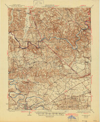
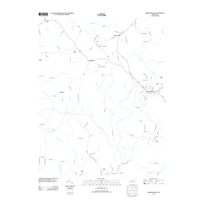
1923 Brownsville
Edmonson County, KY
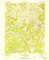
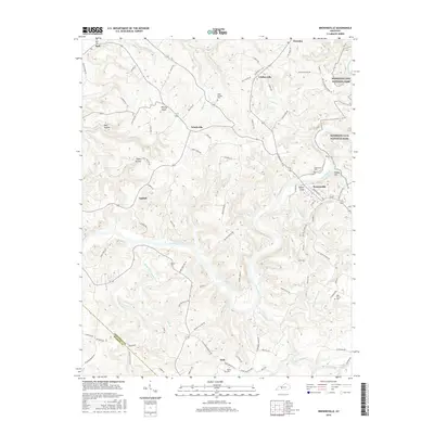
1954 Brownsville
Edmonson County, KY
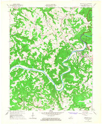
1965 Brownsville
Edmonson County, KY
2010 Brownsville
Edmonson County, KY
2013 Brownsville
Edmonson County, KY
2016 Brownsville
Edmonson County, KY

2019 Brownsville
Edmonson County, KY
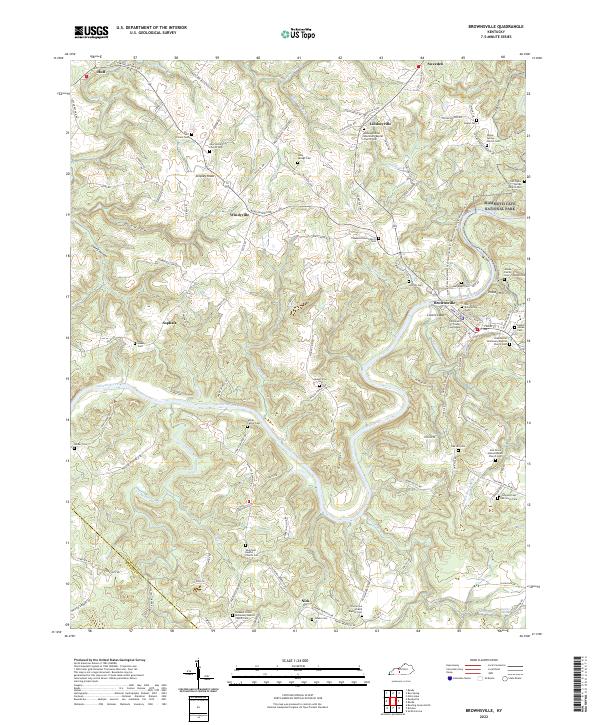
2022 Brownsville
Edmonson County, KY