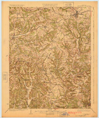
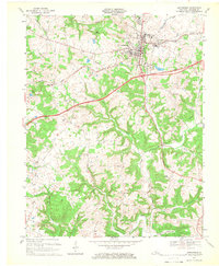
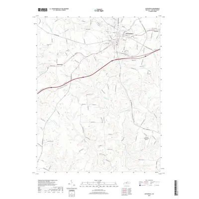
1925 Map of Leitchfield
USGS Topo · Published 1925About this map
Leitchfield serves as the regional hub for this 1920s landscape, which spans the border of Grayson and Edmonson counties. The Illinois Central railroad cuts a diagonal path through the northern half of the sheet, connecting towns like Caneyville and Millwood to the wider commerce of the state. Local industry is evident at the Meredith Coal Bank, while the rural interior is densely punctuated by small one-room schoolhouses such as Quisenberry School and Rogers Springs School.
Find a feature on this map
78 named features on this map. Tap any name to fly to it.
Don’t see what you’re looking for? This feature index may not catch every label — zoom into the map to look around manually.
Map Details
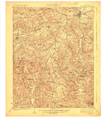
Editions of this 1925 Leitchfield Map
2 editions found
Historical Maps of Leitchfield Through Time
9 maps found
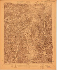
1922 Leitchfield
Grayson County, KY
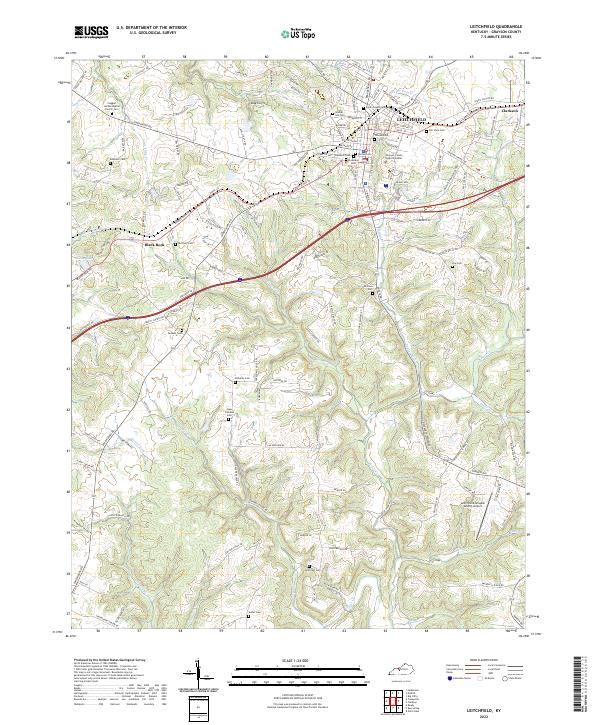
1925 Leitchfield
Grayson County, KY
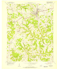
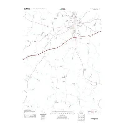
1954 Leitchfield
Grayson County, KY
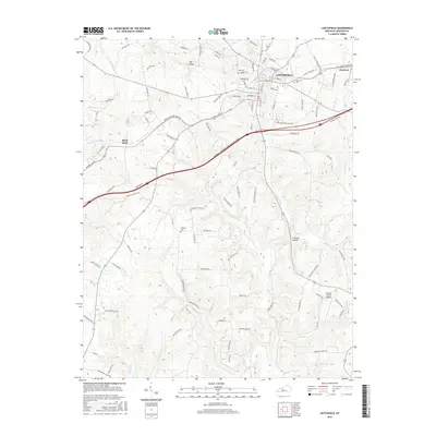
1967 Leitchfield
Grayson County, KY
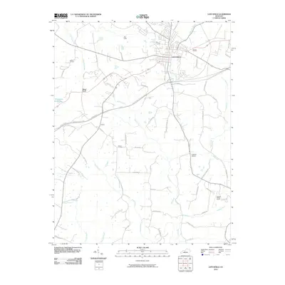
2010 Leitchfield
Grayson County, KY
2013 Leitchfield
Grayson County, KY
2016 Leitchfield
Grayson County, KY
2019 Leitchfield
Grayson County, KY
2022 Leitchfield
Grayson County, KY