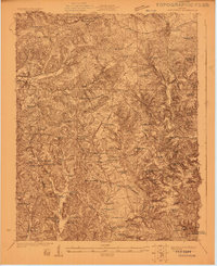
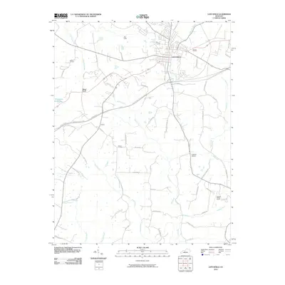
1922 Map of Leitchfield
USGS Topo · Published 1922About this map
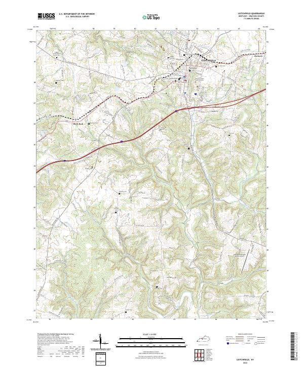
Leitchfield serves as the focal point for this rural Kentucky landscape during the early 1920s, where the Illinois Central railroad cuts through the northern terrain. The region is characterized by a dense network of small communities and rural education centers, including the Millwood settlement and Windyville. This map captures a transitional era for local industry, documenting both traditional extraction at the Meredith Coal Bank and modern operations like the Kentucky Rock Asphalt Co Mine near the southern boundary.
Find a feature on this map
96 named features on this map. Tap any name to fly to it.
Don’t see what you’re looking for? This feature index may not catch every label — zoom into the map to look around manually.
Map Details
Editions of this 1922 Leitchfield Map
This is the sole edition of this map. No revisions or reprints were ever made.
Historical Maps of Leitchfield Through Time
9 maps found
1922 Leitchfield
Grayson County, KY
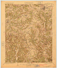
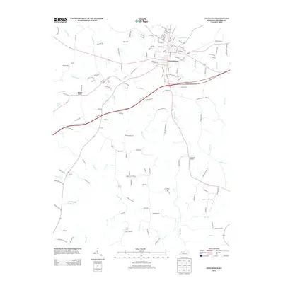
1925 Leitchfield
Grayson County, KY
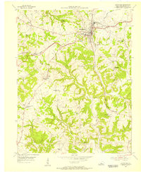
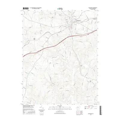
1954 Leitchfield
Grayson County, KY
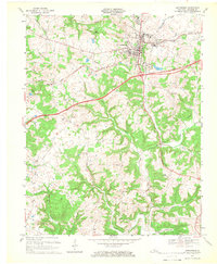
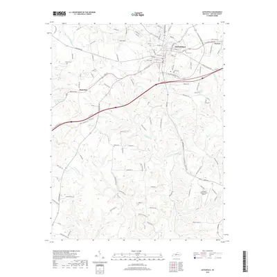
1967 Leitchfield
Grayson County, KY
2010 Leitchfield
Grayson County, KY
2013 Leitchfield
Grayson County, KY
2016 Leitchfield
Grayson County, KY
2019 Leitchfield
Grayson County, KY
2022 Leitchfield
Grayson County, KY