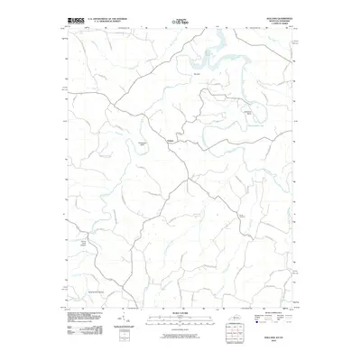
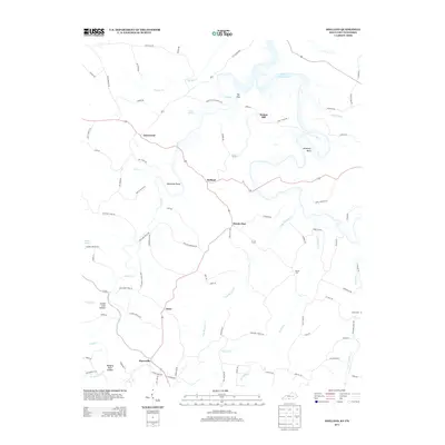
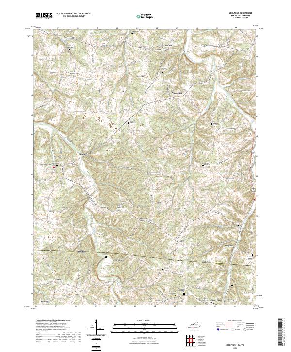
1928 Map of Adolphus
USGS Topo · Published 1928About this map
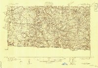
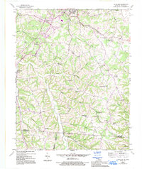
Adolphus and New Roe anchor this 1928 topographic survey of the rolling borderlands between Kentucky and Tennessee. The landscape is defined by the winding course of Trammel Creek and the Middle Fork, where multiple crossings like McElroy Ford, Brackens Ford, and Borens Ford provided essential transit before modern bridging. The social fabric of the era is remarkably dense, evidenced by a high concentration of rural schools such as Rocky Hill Sch, Smyrna Sch, and Mt Olivet Sch, alongside spiritual centers like Bethany Ch and Loring Chapel. The terrain rises toward Red Hill and is carved by seasonal drainages like Mays Branch and Dry Branch. This survey also documents the important transit corridor of the Scottsville and Franklin Pike, reflecting the early 20th-century road network that linked these agricultural communities across the state line.
Find a feature on this map
47 named features on this map. Tap any name to fly to it.
Don’t see what you’re looking for? This feature index may not catch every label — zoom into the map to look around manually.
Map Details
Editions of this 1928 Adolphus Map
This is the sole edition of this map. No revisions or reprints were ever made.
Historical Maps of Portland Through Time
26 maps found
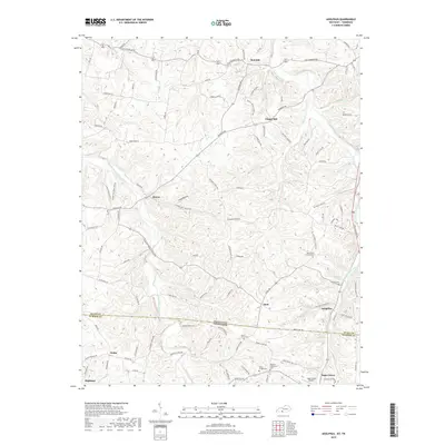
1928 Adolphus
Allen County, KY
1954 Adolphus
Allen County, KY
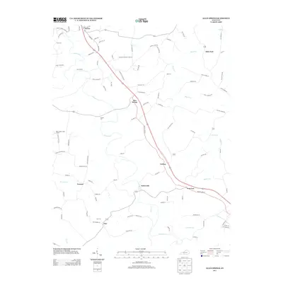
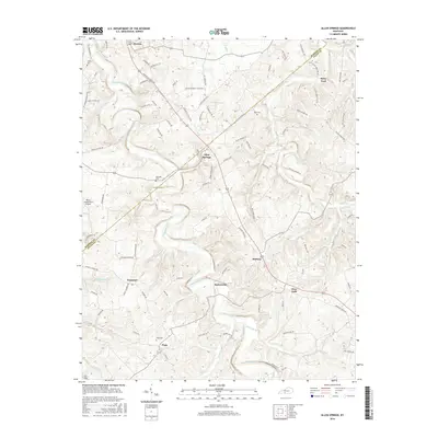
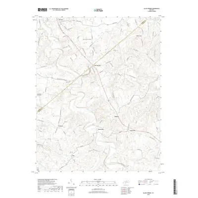
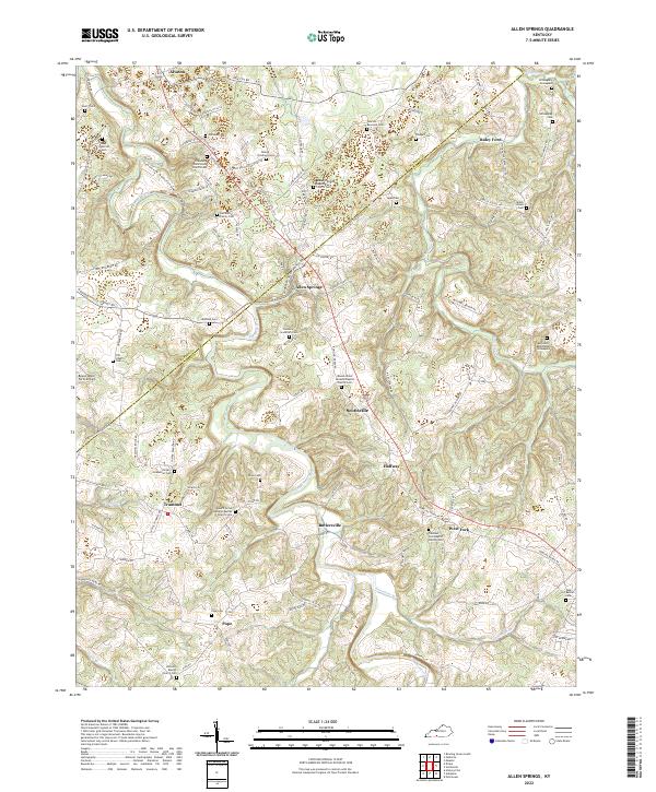
1954 Allen Springs
Allen County, KY
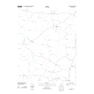
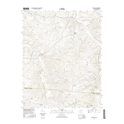
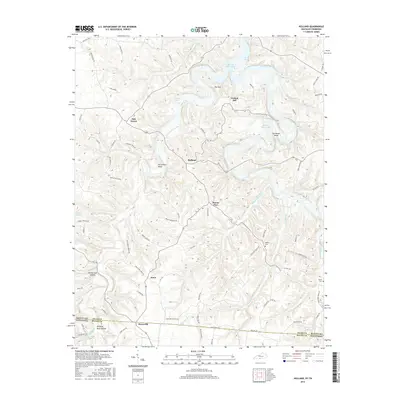
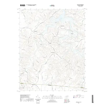
1954 Holland
Allen County, KY
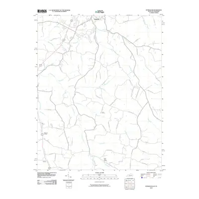
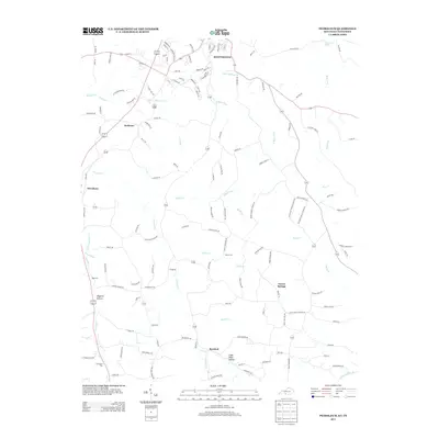
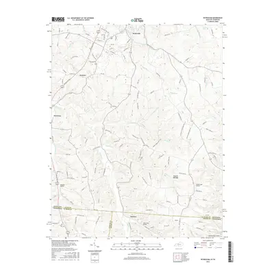
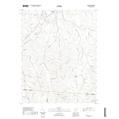
1954 Petroleum
Allen County, KY
1965 Holland
Allen County, KY
2010 Adolphus
Allen County, KY
2010 Allen Springs
Allen County, KY
2010 Holland
Allen County, KY
2010 Petroleum
Allen County, KY
2013 Adolphus
Allen County, KY
2013 Allen Springs
Allen County, KY
2013 Holland
Allen County, KY
2013 Petroleum
Allen County, KY
2016 Adolphus
Allen County, KY
2016 Allen Springs
Allen County, KY
2016 Holland
Allen County, KY
2016 Petroleum
Allen County, KY
2019 Adolphus
Allen County, KY
2019 Allen Springs
Allen County, KY
2019 Holland
Allen County, KY
2019 Petroleum
Allen County, KY
2022 Adolphus
Allen County, KY
2022 Allen Springs
Allen County, KY
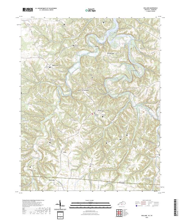
2022 Holland
Allen County, KY
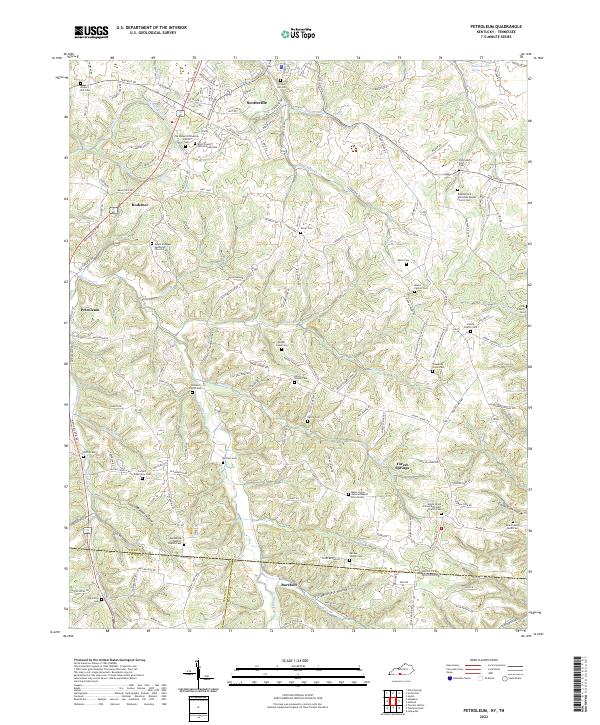
2022 Petroleum
Allen County, KY