
1954 Map of Drake
USGS Topo · Published 1955About this map
Drakes Creek meanders through this agricultural landscape, where the confluence of its Middle and West forks defines the local geography. In the mid-1950s, the rural character of this region is punctuated by a network of community centers such as Drake P.O., Gold City, and Boyce. The presence of Oil Wells near the center of the sheet indicates active natural resource extraction alongside established farming.
Find a feature on this map
42 named features on this map. Tap any name to fly to it.
Don’t see what you’re looking for? This feature index may not catch every label — zoom into the map to look around manually.
Map Details
Editions of this 1954 Drake Map
This is the sole edition of this map. No revisions or reprints were ever made.
Other maps of this area

1921 · Bowling Green
USGS Topo · 1:62,500

1923 · Bowling Green
USGS Topo · 1:62,500

1928 · Adolphus
USGS Topo · 1:48,000

1931 · Adolphus
USGS Topo · 1:62,500

1942 · Gallatin
USGS Topo · 1:100,000

1951 · Woodburn
USGS Topo · 1:24,000

1951 · Franklin
USGS Topo · 1:24,000

1952 · Rockfield
USGS Topo · 1:24,000
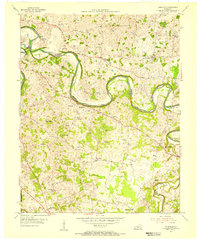
1954 · Polkville
USGS Topo · 1:24,000
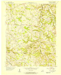
1954 · Hickory Flat
USGS Topo · 1:24,000