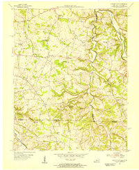
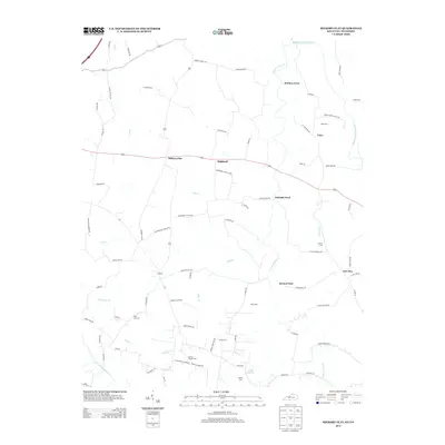
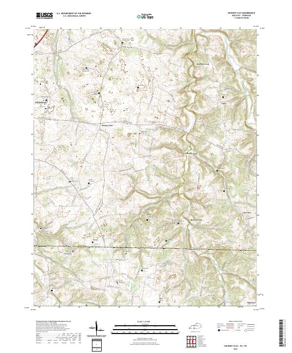
1954 Map of Hickory Flat
USGS Topo · Published 1956About this map
Hickory Flat and Highland anchor this mid-century look at the borderland between Kentucky and Tennessee. The landscape is defined by the winding course of the Middle Fork Drakes Creek and Sulphur Fork, where numerous small tributaries like Mays Branch and Smyrna Branch carve out a complex network of ridges and hollows. This topography heavily influenced the placement of rural institutions, with dozens of country churches and schools serving local farming families across the Simpson and Allen County line.
Find a feature on this map
39 named features on this map. Tap any name to fly to it.
Don’t see what you’re looking for? This feature index may not catch every label — zoom into the map to look around manually.
Map Details
Editions of this 1954 Hickory Flat Map
This is the sole edition of this map. No revisions or reprints were ever made.
Historical Maps of Portland Through Time
13 maps found
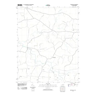
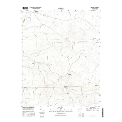
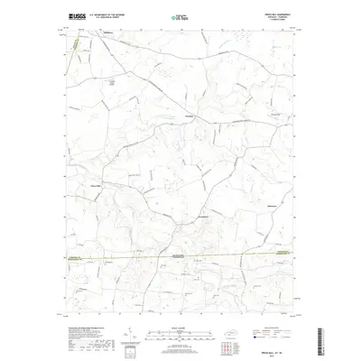
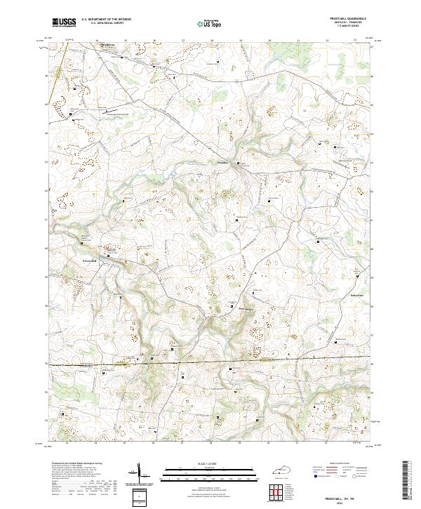
1951 Prices Mill
Simpson County, KY
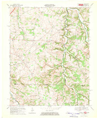
1954 Hickory Flat
Simpson County, KY
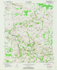
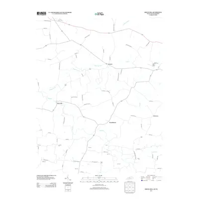
1967 Hickory Flat
Simpson County, KY
2010 Hickory Flat
Simpson County, KY
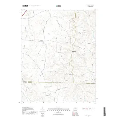
2010 Prices Mill
Simpson County, KY
2013 Hickory Flat
Simpson County, KY
2013 Prices Mill
Simpson County, KY
2016 Hickory Flat
Simpson County, KY
2016 Prices Mill
Simpson County, KY
2019 Hickory Flat
Simpson County, KY
2019 Prices Mill
Simpson County, KY
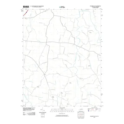
2022 Hickory Flat
Simpson County, KY
2022 Prices Mill
Simpson County, KY