
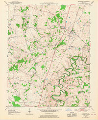
1951 Map of Woodburn
USGS Topo · Published 1952About this map
Woodburn serves as the primary hub of this 1950s landscape, situated along the vital Louisville and Nashville railroad line. The settlement pattern reflects a mid-century agricultural community transitioning into a more institutionalized rural area, evidenced by the presence of the County Home and Methodist Home. The terrain is defined by the winding course of Drakes Creek and the West Fork Drakes Creek, which carve through the southern portion of the map.
Find a feature on this map
17 named features on this map. Tap any name to fly to it.
Don’t see what you’re looking for? This feature index may not catch every label — zoom into the map to look around manually.
Map Details
Editions of this 1951 Woodburn Map
2 editions found
Other maps of this area

1921 · Bowling Green
USGS Topo · 1:62,500

1923 · Bowling Green
USGS Topo · 1:62,500

1928 · Adolphus
USGS Topo · 1:48,000

1931 · Adolphus
USGS Topo · 1:62,500

1942 · Gallatin
USGS Topo · 1:100,000

1951 · Franklin
USGS Topo · 1:24,000

1951 · Prices Mill
USGS Topo · 1:24,000

1951 · Auburn
USGS Topo · 1:24,000

1951 · South Union
USGS Topo · 1:24,000

1952 · Rockfield
USGS Topo · 1:24,000