Old Maps of Woodburn, Kentucky
Explore 10 old maps of Woodburn, spanning from 1951 to today. These high-resolution historic maps reveal how streets, neighborhoods, landmarks, and natural features evolved over time — perfect for genealogy, metal detecting, research, and local history exploration.
What you can do with these maps:
- See how Woodburn changed over time: Compare historical maps to modern-day views to trace roads, homesites, rail lines & more.
- View detailed metadata: Each map includes creators, publishers, year, scale, and archive source.
- Overlay maps with satellite & LiDAR: Visualize the past alongside modern tools to explore terrain & human change.
- Trusted historical sources: Maps sourced from the USGS, Library of Congress, and other archives.
- Access maps your way: View online, download high-res files, or order prints for personal or research use.
Start exploring old maps of Woodburn to uncover forgotten places, hidden landmarks, and the deep history beneath your feet.
Woodburn, KY maps
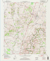
(10)- 1951 Map of Woodburn, 1952 Print
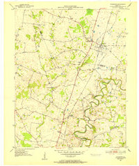 1951 Woodburn1952 Print · USGSSouthern Kentucky at the dawn of the fifties shows a landscape of rail-side towns and winding waterways. Genealogists and local historians can trace the foundations of Woodburn, locate family-named sites like Stevenson Ch, and follow the old Louisville and Nashville line.2 unique versions available
 - 1956 Map of Nashville, 1971 Print
 1956 Nashville1971 Print · USGSThe Tennessee-Kentucky borderlands come into focus in the mid-1960s as major reservoir projects transformed the Cumberland and Tennessee river valleys. Researchers can trace the rail networks of the Louisville and Nashville and visit sites like Fort Campbell and Fort Donelson National Military Park.2 unique versions available
 - 1959 Map of Nashville
 1959 Nashville1959 Print · USGSMiddle Tennessee and Southern Kentucky come into focus during the late fifties, showing the region's transition into a modern transportation and military hub. Researchers can trace the sprawling Fort Campbell Military Reservation or locate historic rail stops along the Tennessee Central Ry and Illinois Central RR.
 - 1979 Map of Woodburn, 1984 Print
 1979 Woodburn1984 Print · USGSWarren and Simpson County at the end of the seventies show a landscape of traditional crossroads communities and institutional foundations. Genealogists can locate family landmarks like Old Zion Ch, the County Home, and the railroad village of Woodburn.
 - 1985 Map of Bowling Green
 1985 Bowling Green1985 Print · USGSThe rolling borderlands of Kentucky and Tennessee are captured here in the mid-eighties, showing a landscape shaped by the Barren River and deep-rooted rail networks. Genealogists and researchers can trace local landmarks like Prices Mill, Highland Academy, and Green Lawn Cem.3 unique versions available
 - 2010 Map of Woodburn, 2010 Print
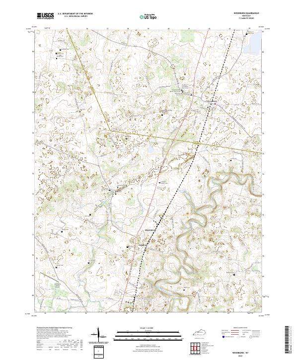
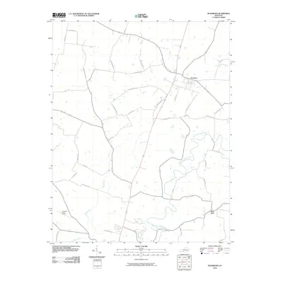 2010 Woodburn2010 Print · USGSCovers Woodburn, including Franklin, Black Jack, and other nearby areas
 - 2013 Map of Woodburn, 2013 Print
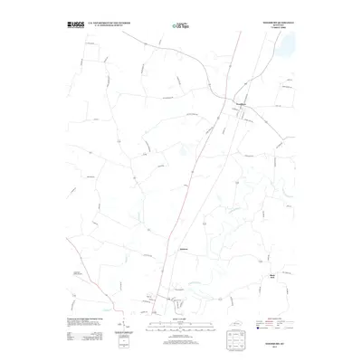 2013 Woodburn2013 Print · USGSCovers Woodburn, including Franklin, Black Jack, and other nearby areas
 - 2016 Map of Woodburn, 2016 Print
 2016 Woodburn2016 Print · USGSCovers Woodburn, including Franklin, Black Jack, and other nearby areas
 - 2019 Map of Woodburn, 2019 Print
 2019 Woodburn2019 Print · USGSCovers Woodburn, including Franklin, Black Jack, and other nearby areas
 - 2022 Map of Woodburn, 2022 Print
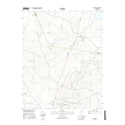
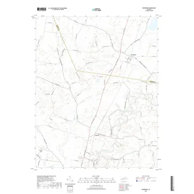
 2022 Woodburn2022 Print · USGSSouth-central Kentucky farmland near the Warren and Simpson county line reveals a landscape deeply rooted in family history. Trace ancestral connections at William H Skiles Cem, Stevenson Church, and the settlement of Salmons.
End of results
Showing maps 1-10 of 10
Top cities near Woodburn
- Bowling Green historical maps
- Portland historical maps
- Franklin historical maps
- Scottsville historical maps
- Auburn historical maps
- Orlinda historical maps
See more
Frequently asked questions
- What are the different types of historical maps available for Woodburn?
- What is the oldest map of Woodburn?
- Where can I purchase historical maps of Woodburn for my home or office?
- Where can I download high-res historical maps of Woodburn?
- Are there historical topographic maps available for Woodburn?
- Is there historical aerial imagery available for Woodburn?
- Where are historical maps of Woodburn sourced from?