
1951 Map of Auburn
USGS Topo · Published 1953About this map
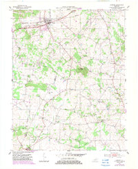
Auburn serves as the primary hub of this 1950s Logan County landscape, where the Louisville and Nashville railroad and the Davis Highway intersect near the town's waterworks. The topography is dominated by the prominent Pilot Knob, a singular elevation rising sharply above the surrounding farmland and the headwaters of Spring Creek.
Find a feature on this map
23 named features on this map. Tap any name to fly to it.
Don’t see what you’re looking for? This feature index may not catch every label — zoom into the map to look around manually.
Map Details
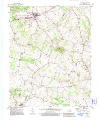
Editions of this 1951 Auburn Map
3 editions found
Other maps of this area

1942 · Gallatin
USGS Topo · 1:100,000

1951 · Adairville
USGS Topo · 1:24,000

1951 · Woodburn
USGS Topo · 1:24,000

1951 · Franklin
USGS Topo · 1:24,000

1951 · Prices Mill
USGS Topo · 1:24,000

1951 · South Union
USGS Topo · 1:24,000

1951 · Homer
USGS Topo · 1:24,000

1952 · Dennis
USGS Topo · 1:24,000

1952 · Rockfield
USGS Topo · 1:24,000

1956 · Nashville
USGS Topo · 1:250,000