
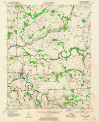
1951 Map of Adairville
USGS Topo · Published 1952About this map
Adairville serves as the central hub of this 1951 survey, situated just north of the border where Kentucky Tennessee meet. The landscape is defined by the winding course of the Red River and its tributary, the South Fork Red River, which carve through the terrain of Logan County and into Robertson County. Local transit and commerce are anchored by the presence of Mortimer Sta, while the rural surroundings are dotted with numerous community anchors such as Berea Ch, Townsend Sch, and Oak Grove Ch.
Find a feature on this map
30 named features on this map. Tap any name to fly to it.
Don’t see what you’re looking for? This feature index may not catch every label — zoom into the map to look around manually.
Map Details
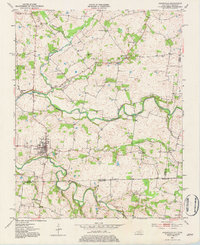
Editions of this 1951 Adairville Map
3 editions found
Other maps of this area

1942 · Gallatin
USGS Topo · 1:100,000

1951 · Dot
USGS Topo · 1:24,000

1951 · Prices Mill
USGS Topo · 1:24,000

1951 · Auburn
USGS Topo · 1:24,000

1952 · Russellville
USGS Topo · 1:24,000

1952 · Springfield North
USGS Topo · 1:24,000

1952 · Youngville
USGS Topo · 1:24,000

1952 · Dennis
USGS Topo · 1:24,000

1953 · Orlinda
USGS Topo · 1:24,000

1956 · Nashville
USGS Topo · 1:250,000