
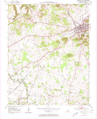
1952 Map of Russellville
USGS Topo · Published 1953About this map
Russellville anchors this Logan County landscape in the early 1950s, serving as a hub for the Louisville and Nashville railroad lines. The surrounding countryside is defined by a network of rural congregations and small crossroads, including Stevenson Chapel, Lebanon Ch, and Post Oak Ch. The winding course of Whippoorwill Creek and its many tributaries like Dry Fork and Town Branch dictate the local topography, carving through the terrain near Luckett Knob.
Find a feature on this map
26 named features on this map. Tap any name to fly to it.
Don’t see what you’re looking for? This feature index may not catch every label — zoom into the map to look around manually.
Map Details
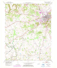
Editions of this 1952 Russellville Map
3 editions found
Other maps of this area

1950 · Allensville
USGS Topo · 1:24,000

1950 · Olmstead
USGS Topo · 1:24,000

1951 · Olmstead
USGS Topo · 1:24,000

1951 · Adairville
USGS Topo · 1:24,000

1951 · Dot
USGS Topo · 1:24,000

1951 · Lewisburg
USGS Topo · 1:24,000

1951 · Homer
USGS Topo · 1:24,000

1952 · Sharon Grove
USGS Topo · 1:24,000

1952 · Dennis
USGS Topo · 1:24,000

1956 · Nashville
USGS Topo · 1:250,000