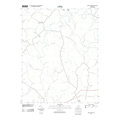
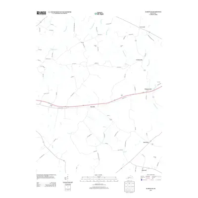
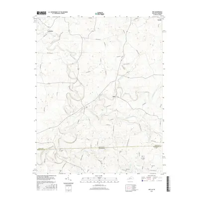
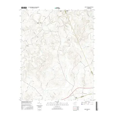
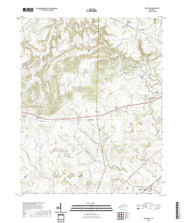
1950 Map of Olmstead
USGS Topo · Published 1985About this map
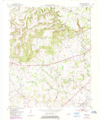
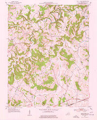
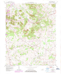
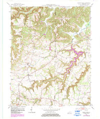
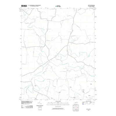
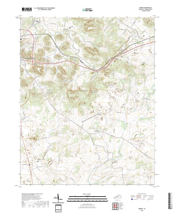
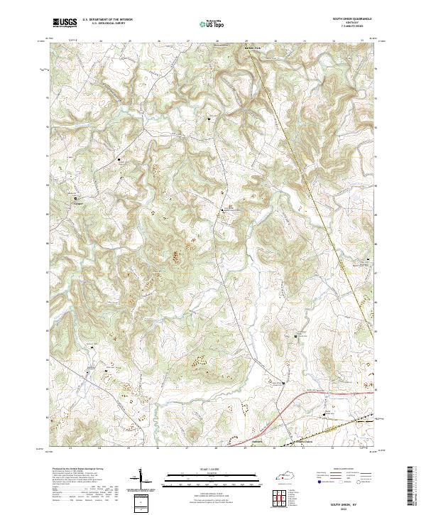
Whippoorwill Creek and its many tributaries, including Bennett Branch and Vicks Branch, define the rolling landscape along the Todd and Logan County line. This mid-century survey illustrates a rural Kentucky economy rooted in decentralized settlements and local institutions. Small communities like Gordonsville and Daysville are connected by the Jefferson Davis Highway, while the Seaboard rail line serves the southern reaches near Olmstead. The map is particularly dense with genealogical landmarks, featuring numerous family-named burial sites such as Bennett Cem, Currence Cem, and Browder Cem. Social life is anchored by local schools like Union Sch and Greenridge Sch, and a network of country churches including Providence Ch, Russell Chapel, and Cumberland Ch. The presence of the County Home and several crossroads indicates a well-established social infrastructure at the time of the original 1950 field surveys.
Find a feature on this map
30 named features on this map. Tap any name to fly to it.
Don’t see what you’re looking for? This feature index may not catch every label — zoom into the map to look around manually.
Map Details
Editions of this 1950 Olmstead Map
This is the sole edition of this map. No revisions or reprints were ever made.
Historical Maps of Olmstead Through Time
37 maps found
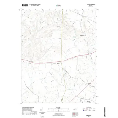
1950 Olmstead
Logan County, KY
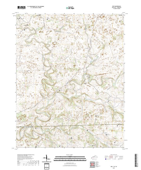
1951 Dot
Logan County, KY
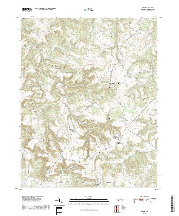
1951 Homer
Logan County, KY
1951 Olmstead
Logan County, KY
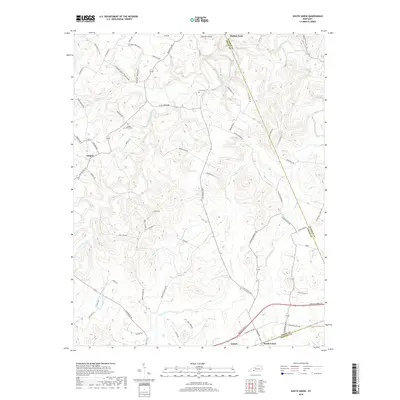
1951 South Union
Logan County, KY
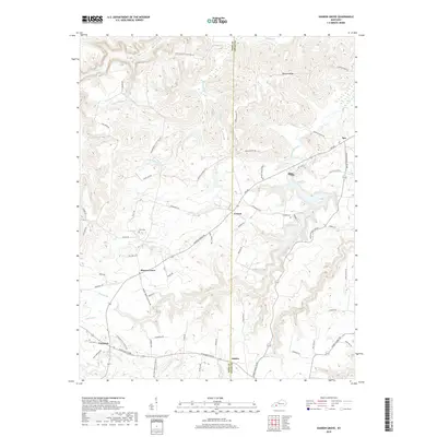
1952 Dennis
Logan County, KY
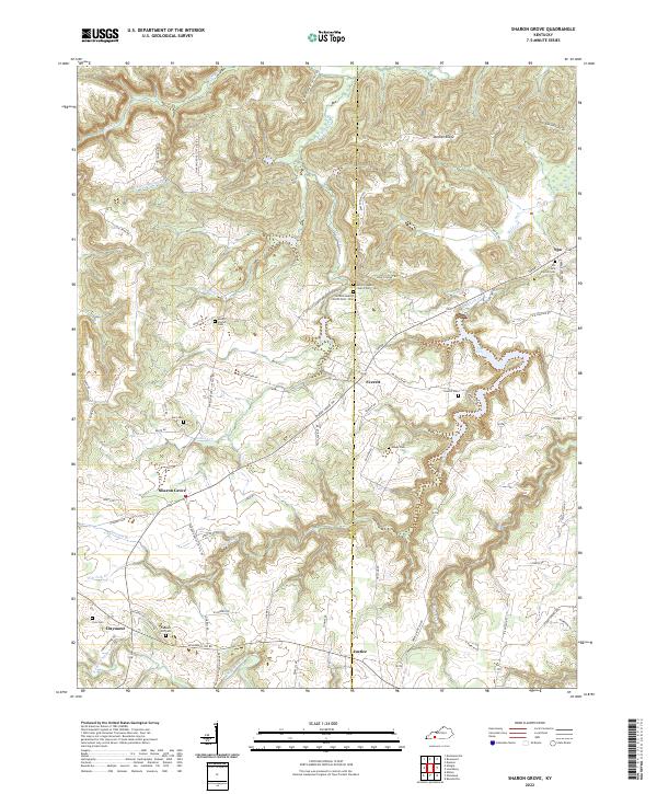
1952 Sharon Grove
Logan County, KY
2010 Dennis
Logan County, KY
2010 Dot
Logan County, KY
2010 Homer
Logan County, KY
2010 Olmstead
Logan County, KY
2010 Sharon Grove
Logan County, KY
2010 South Union
Logan County, KY
2013 Dennis
Logan County, KY
2013 Dot
Logan County, KY
2013 Homer
Logan County, KY
2013 Olmstead
Logan County, KY
2013 Sharon Grove
Logan County, KY
2013 South Union
Logan County, KY
2016 Dennis
Logan County, KY
2016 Dot
Logan County, KY
2016 Homer
Logan County, KY
2016 Olmstead
Logan County, KY
2016 Sharon Grove
Logan County, KY
2016 South Union
Logan County, KY
2019 Dennis
Logan County, KY
2019 Dot
Logan County, KY
2019 Homer
Logan County, KY
2019 Olmstead
Logan County, KY
2019 Sharon Grove
Logan County, KY
2019 South Union
Logan County, KY
2022 Dennis
Logan County, KY
2022 Dot
Logan County, KY
2022 Homer
Logan County, KY
2022 Olmstead
Logan County, KY
2022 Sharon Grove
Logan County, KY
2022 South Union
Logan County, KY