
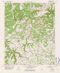
1952 Map of Allegre
USGS Topo · Published 1953About this map
Pond River and its numerous tributaries, including the curiously named Slim Jimmy Branch and Wolf Branch, define the broken landscape of this Todd County region in the early 1950s. The settlement patterns reflect a deeply rooted rural community, where life centered around local congregations and family burying grounds. Small clusters like Allegre and Clifty serve as anchors among the hills, while landmarks such as Mt Tabor Ch and Collier Spring Ch indicate the social hubs of the era. Genealogists will find a wealth of specific data in the numerous family cemeteries scattered throughout the quadrangle, such as Slaughter Cem, Simons Cem, and Porter Cem. The presence of a Radio Tower near the center of the sheet and the topographical detail of Dead Man Hollow provide a clear view of the physical and technological landscape as it existed during the post-war period.
Find a feature on this map
34 named features on this map. Tap any name to fly to it.
Don’t see what you’re looking for? This feature index may not catch every label — zoom into the map to look around manually.
Map Details
Editions of this 1952 Allegre Map
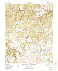
3 editions found
Other maps of this area

1911 · Drakesboro
USGS Topo · 1:48,000

1912 · Nortonville
USGS Topo · 1:62,500

1913 · Drakesboro
USGS Topo · 1:62,500

1950 · Pembroke
USGS Topo · 1:24,000

1950 · Olmstead
USGS Topo · 1:24,000

1951 · Pembroke
USGS Topo · 1:24,000

1951 · Elkton
USGS Topo · 1:24,000

1951 · Olmstead
USGS Topo · 1:24,000

1952 · Sharon Grove
USGS Topo · 1:24,000

1952 · Honey Grove
USGS Topo · 1:24,000