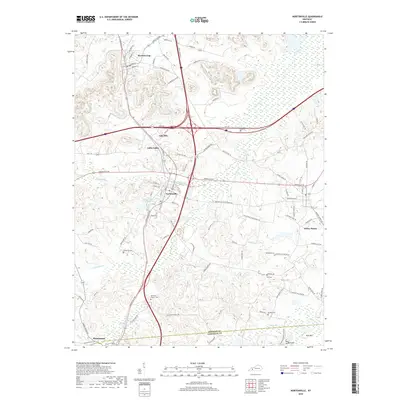
1912 Map of Nortonville
USGS Topo · Published 1912About this map
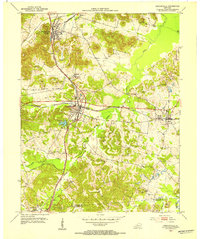
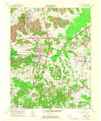
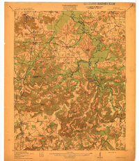
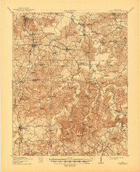
The Pond River snakes along the boundary between Hopkins and Muhlenberg counties, anchoring a landscape defined by its early 20th-century rail infrastructure and scattered agrarian communities. Nortonville serves as a critical junction where the Illinois Central RR meets the Louisville and Nashville RR, reflecting the region's importance as a transportation hub for western Kentucky coal and timber. Away from the rail lines, the map reveals a dense network of rural life, marked by numerous family-named landmarks and institutions like the Dillingham School, Sharbers Store, and Haleys Mill. The southern portion of the quadrangle, transitionally moving toward Christian County, is dotted with small settlements such as Crofton and Fruit Hill, connected by the Madisonville and Greenville Road. This survey provides a look at the local geography before modern highway development, highlighting many community nodes like White Plains and Bakersport that served as local commercial centers for surrounding farmsteads.
Find a feature on this map
82 named features on this map. Tap any name to fly to it.
Don’t see what you’re looking for? This feature index may not catch every label — zoom into the map to look around manually.
Map Details
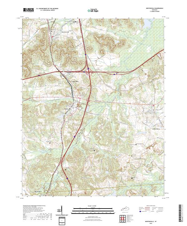
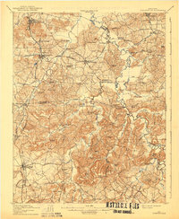
Editions of this 1912 Nortonville Map
3 editions found
Historical Maps of Nortonville Through Time
8 maps found