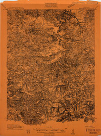
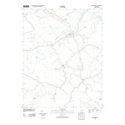
1911 Map of Drakesboro
USGS Topo · Published 1911About this map
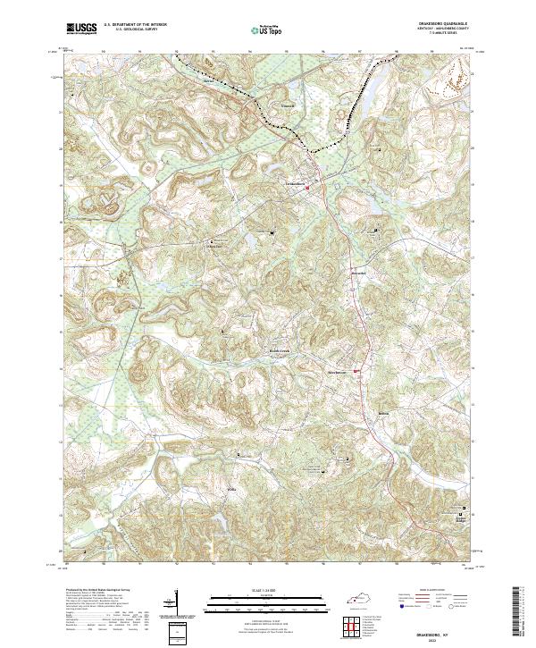
Greenville serves as a primary hub in this 1911 survey of western Kentucky, where the landscape transitions between the fertile bottomlands of the Green River and the undulating terrain of the Pennyroyal Plateau. The map reveals an agrarian society deeply rooted in local institutions, evidenced by the high density of rural schools such as Sheldon School, Middleton School, and Bivins School. Transportation is defined by the Central City and Madisonville Branch railroad, which supported the early development of coal-related settlements like Drakesboro and Powderly.
Find a feature on this map
39 named features on this map. Tap any name to fly to it.
Don’t see what you’re looking for? This feature index may not catch every label — zoom into the map to look around manually.
Map Details
Editions of this 1911 Drakesboro Map
This is the sole edition of this map. No revisions or reprints were ever made.
Historical Maps of Greenville Through Time
10 maps found
1911 Drakesboro
Muhlenberg County, KY

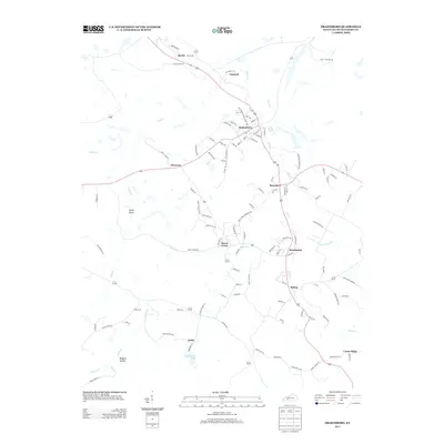
1913 Drakesboro
Muhlenberg County, KY
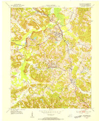
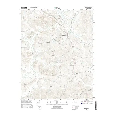
1953 Drakesboro
Muhlenberg County, KY
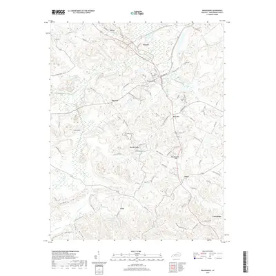
1963 Drakesboro
Muhlenberg County, KY
1997 Drakesboro
Muhlenberg County, KY
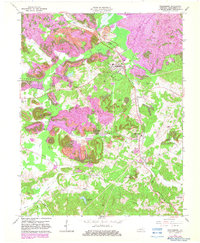
2010 Drakesboro
Muhlenberg County, KY
2013 Drakesboro
Muhlenberg County, KY
2016 Drakesboro
Muhlenberg County, KY
2019 Drakesboro
Muhlenberg County, KY
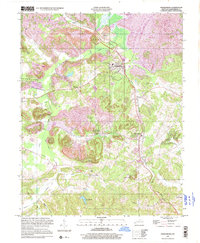
2022 Drakesboro
Muhlenberg County, KY