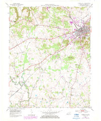
1952 Map of Russellville
USGS Topo · Published 1984About this map
Russellville serves as the focal point of this Logan County landscape, situated at the junction of the Jeff Davis Highway and the Seaboard rail line. The surrounding countryside reveals a dense network of rural community life, marked by numerous country churches such as Walnut Grove Ch, Stevenson Chapel, and Red Oak Ch. The terrain is defined by the winding course of Whippoorwill Creek and its tributaries, including Dry Fork and Barren Fork.
Find a feature on this map
28 named features on this map. Tap any name to fly to it.
Don’t see what you’re looking for? This feature index may not catch every label — zoom into the map to look around manually.
Map Details
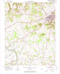
Editions of this 1952 Russellville Map
3 editions found
Other maps of this area

1950 · Allensville
USGS Topo · 1:24,000

1950 · Olmstead
USGS Topo · 1:24,000

1951 · Olmstead
USGS Topo · 1:24,000

1951 · Adairville
USGS Topo · 1:24,000

1951 · Dot
USGS Topo · 1:24,000

1951 · Lewisburg
USGS Topo · 1:24,000

1951 · Homer
USGS Topo · 1:24,000

1952 · Russellville
USGS Topo · 1:24,000

1952 · Sharon Grove
USGS Topo · 1:24,000

1952 · Dennis
USGS Topo · 1:24,000