
1953 Map of Orlinda
USGS Topo · Published 1955About this map
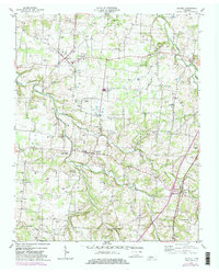
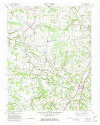
Orlinda and the surrounding agricultural uplands of Robertson and Sumner counties are captured here during a period of mid-century growth. The map illustrates a landscape dense with family history, characterized by numerous small burial grounds such as Williams Cem and Crocker Cem that dot the ridges between the South Fork Red River and Honey Run. Local social life centers on institutions like East Robertson High Sch and several country sanctuaries, including Mt Pleasant Ch and Bigbee Chapel.
Find a feature on this map
115 named features on this map. Tap any name to fly to it.
Don’t see what you’re looking for? This feature index may not catch every label — zoom into the map to look around manually.
Map Details
Editions of this 1953 Orlinda Map
3 editions found
Other maps of this area

1903 · Nashville
USGS Topo · 1:125,000

1931 · Ridgetop
USGS Topo · 1:62,500

1935 · Ridgetop
USGS Topo · 1:62,500

1942 · Gallatin
USGS Topo · 1:100,000

1951 · Adairville
USGS Topo · 1:24,000

1951 · Franklin
USGS Topo · 1:24,000

1951 · Prices Mill
USGS Topo · 1:24,000

1952 · Youngville
USGS Topo · 1:24,000

1953 · Cottontown
USGS Topo · 1:24,000
1954 · White House
USGS Topo · 1:24,000