
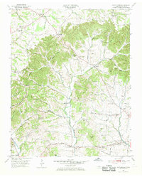
1953 Map of Cottontown
USGS Topo · Published 1955About this map
Cottontown and its surrounding rural network are defined by a complex terrain of ridges and hollows, such as Chestnut Ridge and Groundhog Hollow, which dictated the early settlement patterns of Sumner County. The agricultural landscape is punctuated by numerous family and community burial grounds, including the Old Indian Cem, Pitt Burnley Cem, and Hardin-Bennett Cem, which offer significant genealogical value. Small educational and religious hubs like Fairmont Sch and Little Bethel Church served the dispersed residents of Johnsons Crossroads and Walnut Grove. Along Station Camp Creek and its many tributaries, the map reveals a 1950s rural society built on local institutions like the Liberty Community Hall and the Sumner County Home. This topographic study preserves the placement of numerous small homesteads and family-named landmarks before modern expansion altered the character of these Tennessee crossroads.
Find a feature on this map
96 named features on this map. Tap any name to fly to it.
Don’t see what you’re looking for? This feature index may not catch every label — zoom into the map to look around manually.
Map Details
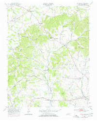
Editions of this 1953 Cottontown Map
3 editions found
Other maps of this area

1903 · Nashville
USGS Topo · 1:125,000

1931 · Adolphus
USGS Topo · 1:62,500

1942 · Gallatin
USGS Topo · 1:100,000

1952 · Goodlettsville
USGS Topo · 1:24,000

1952 · Hendersonville
USGS Topo · 1:24,000

1953 · Orlinda
USGS Topo · 1:24,000
1954 · White House
USGS Topo · 1:24,000

1955 · Laguardo
USGS Topo · 1:24,000

1955 · Gallatin
USGS Topo · 1:24,000
1956 · Portland
USGS Topo · 1:24,000