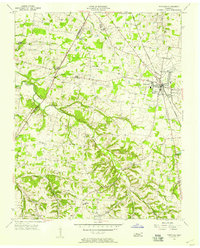
1956 Map of Portland
USGS Topo · Published 1957About this map
The Louisville and Nashville railroad anchors this mid-century view of Sumner County, running north-south through the hub of Portland. The landscape is a patchwork of small agricultural communities and rural school districts, many of which appear here before late-century consolidation. Settlements such as Mitchellville, Scattersville, and New Deal are connected by a network of winding country roads that follow the high ground between the Red River and its numerous tributaries like Summers Branch and Buntin Branch.
Find a feature on this map
33 named features on this map. Tap any name to fly to it.
Don’t see what you’re looking for? This feature index may not catch every label — zoom into the map to look around manually.
Map Details
Editions of this 1956 Portland Map
4 editions found
Other maps of this area

1903 · Nashville
USGS Topo · 1:125,000

1928 · Adolphus
USGS Topo · 1:48,000

1931 · Adolphus
USGS Topo · 1:62,500

1942 · Gallatin
USGS Topo · 1:100,000

1951 · Franklin
USGS Topo · 1:24,000

1951 · Prices Mill
USGS Topo · 1:24,000

1953 · Cottontown
USGS Topo · 1:24,000

1953 · Orlinda
USGS Topo · 1:24,000
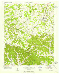
1954 · White House
USGS Topo · 1:24,000
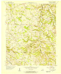
1954 · Hickory Flat
USGS Topo · 1:24,000