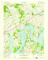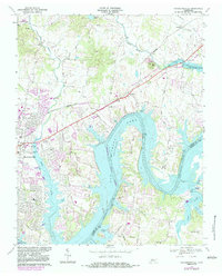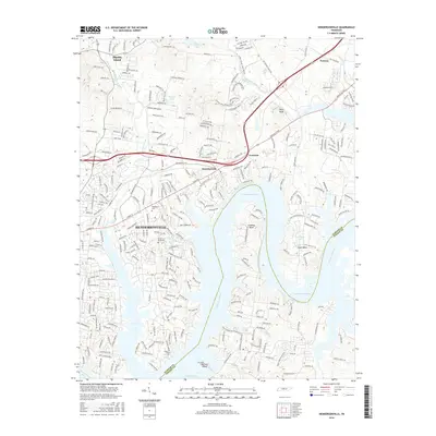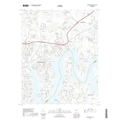
1952 Map of Hendersonville
USGS Topo · Published 1953About this map
The Cumberland River carves deep, dramatic loops through this portion of Sumner County, creating the prominent peninsulas of Lindsley Bend and Cages Bend. The landscape in the early 1950s is defined by a traditional rural Tennessee settlement pattern, where small communities like Saundersville and Avondale are linked by the Louisville and Nashville Railroad and historic thoroughfares such as the Nashville and Gallatin Pike. At the western edge, Hendersonville appears in its pre-suburban era, characterized by scattered homes and local landmarks like Stark Knob Ch.
Find a feature on this map
38 named features on this map. Tap any name to fly to it.
Don’t see what you’re looking for? This feature index may not catch every label — zoom into the map to look around manually.
Map Details
Editions of this 1952 Hendersonville Map
This is the sole edition of this map. No revisions or reprints were ever made.
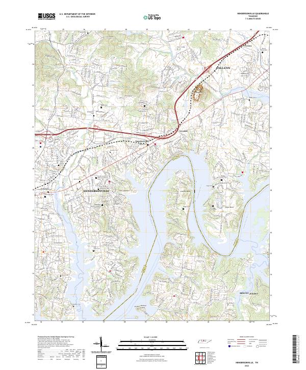
Historical Maps of Nashville Through Time
8 maps found