
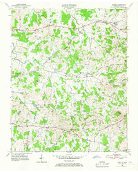
1951 Map of Martha
USGS Topo · Published 1952About this map
The Tennessee Central railroad corridor serves as the primary spine for this mid-century portrait of Wilson County, anchoring several small communities across the landscape. The route connects Silver Springs in the west to Martha and Leeville, illustrating a rural economy still tightly linked to the rail line. This period of growth is marked by a high density of local educational and religious institutions, such as Cooks Sch and Mt Olivet Ch, which functioned as the social hubs for surrounding farmsteads.
Find a feature on this map
43 named features on this map. Tap any name to fly to it.
Don’t see what you’re looking for? This feature index may not catch every label — zoom into the map to look around manually.
Map Details
Editions of this 1951 Martha Map
4 editions found
Other maps of this area

1903 · Nashville
USGS Topo · 1:125,000

1932 · Hermitage
USGS Topo · 1:62,500

1942 · Gallatin
USGS Topo · 1:100,000

1942 · Lebanon
USGS Topo · 1:100,000

1951 · Lebanon
USGS Topo · 1:24,000

1952 · Hendersonville
USGS Topo · 1:24,000

1952 · Hermitage
USGS Topo · 1:24,000

1952 · La Vergne
USGS Topo · 1:24,000

1955 · Laguardo
USGS Topo · 1:24,000

1955 · Hunters Point
USGS Topo · 1:24,000