Old Maps of Lebanon, Tennessee
Explore 44 old maps of Lebanon, spanning from 1942 to today. These high-resolution historic maps reveal how streets, neighborhoods, landmarks, and natural features evolved over time — perfect for genealogy, metal detecting, research, and local history exploration.
What you can do with these maps:
- See how Lebanon changed over time: Compare historical maps to modern-day views to trace roads, homesites, rail lines & more.
- View detailed metadata: Each map includes creators, publishers, year, scale, and archive source.
- Overlay maps with satellite & LiDAR: Visualize the past alongside modern tools to explore terrain & human change.
- Trusted historical sources: Maps sourced from the USGS, Library of Congress, and other archives.
- Access maps your way: View online, download high-res files, or order prints for personal or research use.
Start exploring old maps of Lebanon to uncover forgotten places, hidden landmarks, and the deep history beneath your feet.
Lebanon, TN maps
(44)- 1942 Map of Statesville
 1942 Statesville1942 Print · USGSMid-century Tennessee comes alive in this survey of the river valleys and rail lines east of Nashville. Researchers can trace the path of the Tennessee Central Railway and locate historic points like Denny Seminary and Tuckers Crossroads.
 - 1942 Map of Gallatin
 1942 Gallatin1942 Print · USGSThe Tennessee-Kentucky borderlands were a crossroads of river and rail during the early war years. Genealogists and historians can trace family roots through dozens of named settlements like Bethpage, Prices Mill, and Mitchellville, or locate historic river crossings such as Kirkpatricks Ferry.
 - 1942 Map of Lebanon, 1944 Print
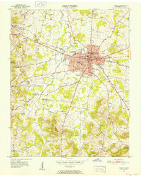
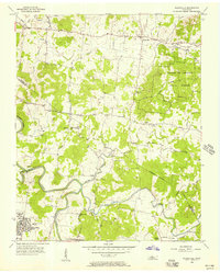
 1942 Lebanon1944 Print · USGSMiddle Tennessee at the start of the war years reveals a landscape of historic homesteads and burgeoning military infrastructure. Genealogists and historians can trace family locations near The Hermitage, follow the Tennessee Central rail lines, or locate the newly established Smyrna Air Base.
 - 1951 Map of Lebanon, 1952 Print
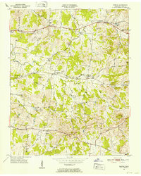
 1951 Lebanon1952 Print · USGSMid-century Lebanon and its surrounding Wilson County landscape are captured here just as the post-war era transformed this rail-hub community. Researchers can locate ancestral sites like Bethlehem Ch, the Castle Heights Military Academy, and numerous family burial grounds including Ligon Cem and Greenwood Cem.4 unique versions available
 - 1951 Map of Martha, 1952 Print
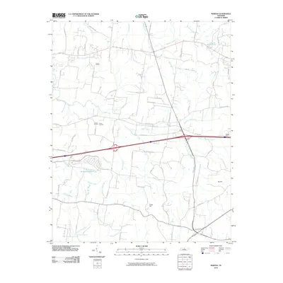
 1951 Martha1952 Print · USGSIn the early 1950s, this area of Wilson County was defined by its railroad hamlets and a robust network of community schools. Genealogists and historians can trace family locations through numerous rural landmarks like Beckwith Sch, Rutland Cem, and Old Union Ch.4 unique versions available
 - 1955 Map of Laguardo, 1956 Print
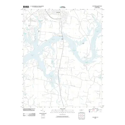
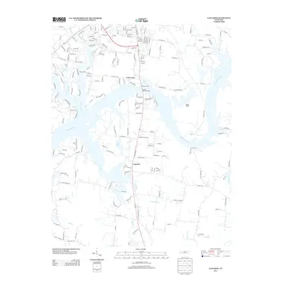
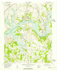 1955 Laguardo1956 Print · USGSThe Cumberland River valley transitioned into a modern utility corridor in the mid-fifties as the reservoir waters rose. Genealogists and historians can trace local landmarks like the Odoms Bend Sch, Franklin Chapel, and the Drive-in Theatre near Laguardo.5 unique versions available
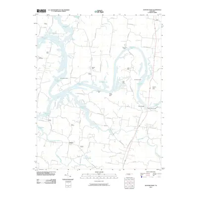
 - 1955 Map of Hunters Point, 1956 Print
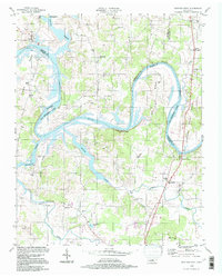
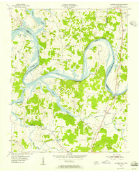 1955 Hunters Point1956 Print · USGSNorth of Lebanon in the mid-1950s, the rising waters of the Old Hickory Reservoir began to transform these historic river bends. Researchers can locate family landmarks like Ebenezer Cem and trace the paths of Coles Ferry Road and Cedar Pike.4 unique versions available
 - 1956 Map of Gladeville, 1957 Print
 1956 Gladeville1957 Print · USGSMid-century Tennessee is captured here as rural crossroads like Gladeville meet military growth at Stewart Air Force Base. Genealogists can trace family landmarks like Browns Cem and the John Colemon Sch among the timber of the Cedars of Lebanon State Forest.5 unique versions available
 - 1956 Map of Nashville, 1971 Print
 1956 Nashville1971 Print · USGSThe Tennessee-Kentucky borderlands come into focus in the mid-1960s as major reservoir projects transformed the Cumberland and Tennessee river valleys. Researchers can trace the rail networks of the Louisville and Nashville and visit sites like Fort Campbell and Fort Donelson National Military Park.2 unique versions available
 - 1958 Map of Shop Springs, 1959 Print
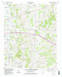
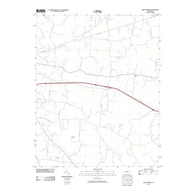
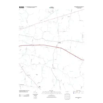
 1958 Shop Springs1959 Print · USGSMid-century Wilson County comes alive through this record of rural Tennessee life and its network of country roads. Genealogists can trace family connections near Shop Springs, Tuckers Crossroads, and the historic Bethlehem Cem.2 unique versions available
 - 1959 Map of Nashville
 1959 Nashville1959 Print · USGSMiddle Tennessee and Southern Kentucky come into focus during the late fifties, showing the region's transition into a modern transportation and military hub. Researchers can trace the sprawling Fort Campbell Military Reservation or locate historic rail stops along the Tennessee Central Ry and Illinois Central RR.
 - 1984 Map of Nashville, 1985 Print
 1984 Nashville1985 Print · USGSMiddle Tennessee in the mid-1980s reveals a region balancing urban expansion with its deep river-valley roots. Genealogists and historians can trace family locations near Old Hickory Lake, explore the grounds of Vanderbilt University, or locate ancestral sites like Greenwood Cem.
 - 1994 Map of Shop Springs, 1997 Print
 1994 Shop Springs1997 Print · USGSWilson County in the mid-nineties remained a landscape of quiet crossroads and historic congregation sites. Genealogists and local researchers can trace family landmarks like Linwood Cem, Shop Springs, and numerous churches from Grissim Ch to Bethlehem Ch.
 - 1994 Map of Hunters Point, 1997 Print
 1994 Hunters Point1997 Print · USGSThe Cumberland River loops through Wilson and Sumner counties in the mid-1990s, where old oxbows meet the modern waters of Old Hickory Lake. Researchers can trace early settlements at Cairo and Macedonia, or locate rural landmarks like Carroll Sch and the Nathan J Harsh Bridge.
 - 2010 Map of Lebanon, 2010 Print
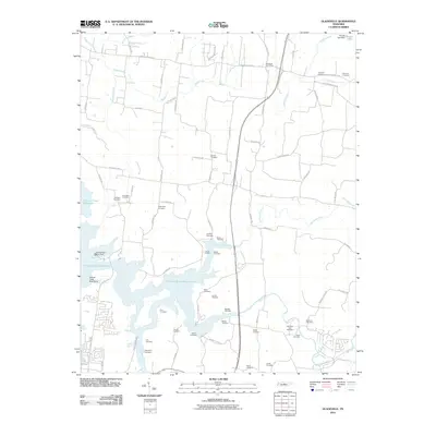
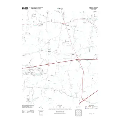
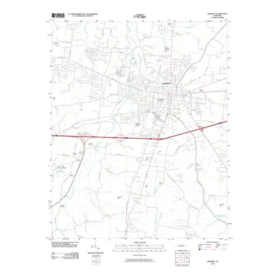 2010 Lebanon2010 Print · USGSCovers Lebanon, including Forktown, Holloway, and other nearby areas
 - 2010 Map of Hunters Point, 2010 Print
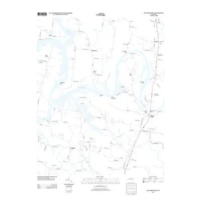
 2010 Hunters Point2010 Print · USGSCovers Lebanon, including Cairo, Barthelia, and other nearby areas
 - 2010 Map of Laguardo, 2010 Print
 2010 Laguardo2010 Print · USGSCovers Lebanon, including Gallatin, Laguardo, and other nearby areas
 - 2010 Map of Martha, 2010 Print
 2010 Martha2010 Print · USGSCovers Lebanon, including Mount Juliet, Silver Springs, and other nearby areas
 - 2010 Map of Shop Springs, 2010 Print
 2010 Shop Springs2010 Print · USGSCovers Lebanon, including Tuckers Crossroads, Shop Springs, and other nearby areas
 - 2010 Map of Gladeville, 2010 Print
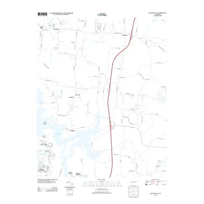
 2010 Gladeville2010 Print · USGSCovers Lebanon, including Smyrna, La Vergne, and other nearby areas
 - 2013 Map of Hunters Point, 2013 Print
 2013 Hunters Point2013 Print · USGSCovers Lebanon, including Cairo, Barthelia, and other nearby areas
 - 2013 Map of Shop Springs, 2013 Print
 2013 Shop Springs2013 Print · USGSCovers Lebanon, including Tuckers Crossroads, Shop Springs, and other nearby areas
 - 2013 Map of Gladeville, 2013 Print
 2013 Gladeville2013 Print · USGSCovers Lebanon, including Smyrna, La Vergne, and other nearby areas
 - 2013 Map of Martha, 2013 Print
 2013 Martha2013 Print · USGSCovers Lebanon, including Mount Juliet, Silver Springs, and other nearby areas
 - 2013 Map of Laguardo, 2013 Print
 2013 Laguardo2013 Print · USGSCovers Lebanon, including Gallatin, Laguardo, and other nearby areas
Showing maps 1-25 of 44
Top cities near Lebanon
- Nashville historical maps
- Hendersonville historical maps
- Smyrna historical maps
- La Vergne historical maps
- Gallatin historical maps
- Mount Juliet historical maps
See more
Top neighborhoods of Lebanon
- Martha historical maps
- Maple Hill historical maps
- Forktown historical maps
- West End Heights historical maps
- Cairo Bend historical maps
- Egan historical maps
See more
Frequently asked questions
- What are the different types of historical maps available for Lebanon?
- What is the oldest map of Lebanon?
- Where can I purchase historical maps of Lebanon for my home or office?
- Where can I download high-res historical maps of Lebanon?
- Are there historical topographic maps available for Lebanon?
- Is there historical aerial imagery available for Lebanon?
- Where are historical maps of Lebanon sourced from?