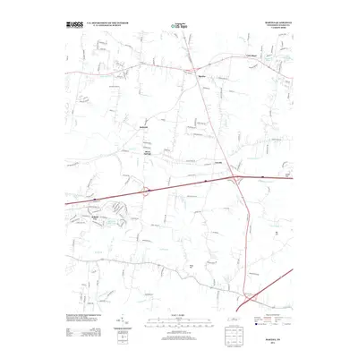
2013 Map of Martha
USGS Topo · Published 2013About this map
Belinda City and its proximity to Benjamin Franklin Lake anchor the southwestern portion of this Wilson County landscape, where suburban expansion meets long-standing agricultural roots. The map documents a corridor of growth along major transit routes connecting Martha, Leeville, and the small community of Beckwith. To the north, Breeden's Orchard represents the local land use that predates much of the modern residential development, while the winding course of Cedar Cr and its numerous tributaries like Rutland Br and Sullivan Br define the drainage patterns of the region.
Find a feature on this map
145 named features on this map. Tap any name to fly to it.
Don’t see what you’re looking for? This feature index may not catch every label — zoom into the map to look around manually.
Map Details
Editions of this 2013 Martha Map
This is the sole edition of this map. No revisions or reprints were ever made.
Other maps of this area

1903 · Nashville
USGS Topo · 1:125,000

1932 · Hermitage
USGS Topo · 1:62,500

1942 · Gallatin
USGS Topo · 1:100,000

1942 · Lebanon
USGS Topo · 1:100,000

1951 · Lebanon
USGS Topo · 1:24,000

1951 · Martha
USGS Topo · 1:24,000

1952 · Hendersonville
USGS Topo · 1:24,000

1952 · Hermitage
USGS Topo · 1:24,000

1952 · La Vergne
USGS Topo · 1:24,000

1955 · Laguardo
USGS Topo · 1:24,000