
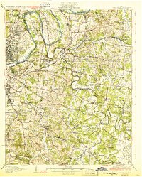
1932 Map of Hermitage
USGS Topo · Published 1932About this map
The Cumberland River and Stone River wind through the heart of Davidson County, shaping a landscape defined by deep river bends and established country pikes in the early 1930s. The map illustrates the growth extending from eastern Nashville toward settlements like Donelson and Hermitage, where the influence of the Nashville Chattanooga and St Louis Railway and the Tennessee Central Railway dictated local development.
Find a feature on this map
102 named features on this map. Tap any name to fly to it.
Don’t see what you’re looking for? This feature index may not catch every label — zoom into the map to look around manually.
Map Details
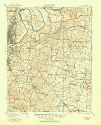
Editions of this 1932 Hermitage Map
3 editions found
Other maps of this area

1903 · Nashville
USGS Topo · 1:125,000

1909 · Franklin
USGS Topo · 1:62,500

1916 · Murfreesboro
USGS Topo · 1:62,500

1931 · Ridgetop
USGS Topo · 1:62,500

1932 · Nashville
USGS Topo · 1:62,500

1935 · Ridgetop
USGS Topo · 1:62,500

1942 · Gallatin
USGS Topo · 1:100,000

1942 · Lebanon
USGS Topo · 1:100,000

1949 · Franklin
USGS Topo · 1:24,000

1950 · Walterhill
USGS Topo · 1:24,000