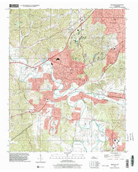
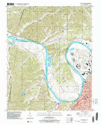
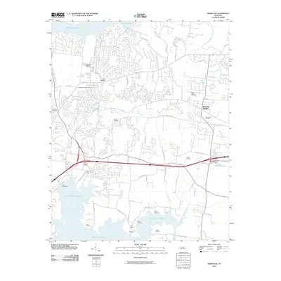
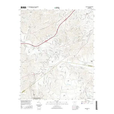
1932 Map of Hermitage
USGS Topo · Published 1932About this map
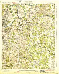
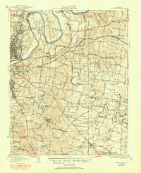
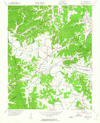
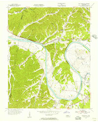
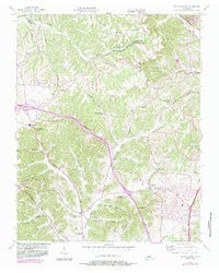
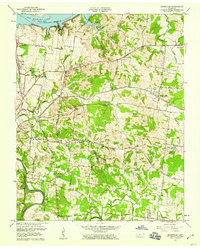
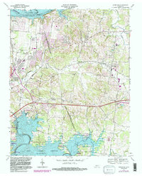
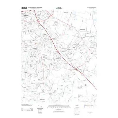
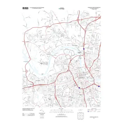
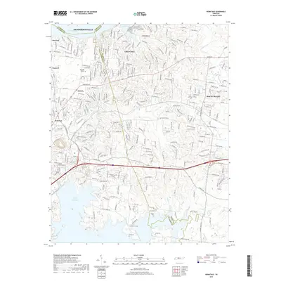
The Hermitage, the former estate of Andrew Jackson, serves as a focal point for this 1930s survey of the landscape east of Nashville. The map documents a period of transition where early pike roads like Lebanon Pike and Murfreesboro State Highway intersect with a dense network of country schools and rural churches such as Hopewell Ch and New Hope Ch. The winding Cumberland River forms the northern boundary, characterized by active river crossings like Ninemile Ferry and the U S Ferry.
Find a feature on this map
103 named features on this map. Tap any name to fly to it.
Don’t see what you’re looking for? This feature index may not catch every label — zoom into the map to look around manually.
Map Details
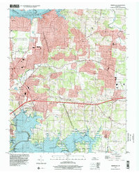
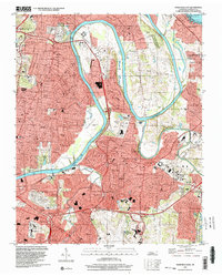
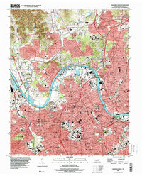
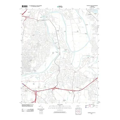
Editions of this 1932 Hermitage Map
3 editions found

Historical Maps of Nashville Through Time
58 maps found
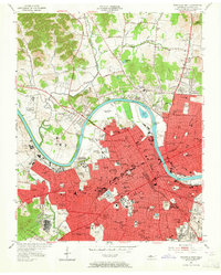
1932 Hermitage
Davidson County, TN
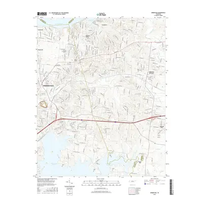
1952 Antioch
Davidson County, TN

1952 Hermitage
Davidson County, TN
1952 Nashville East
Davidson County, TN
1952 Nashville West
Davidson County, TN
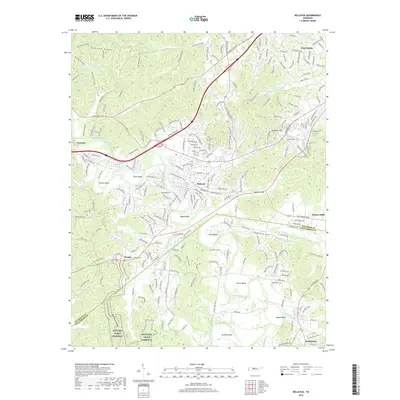
1955 Belleview
Davidson County, TN
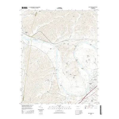
1955 Scottsboro
Davidson County, TN
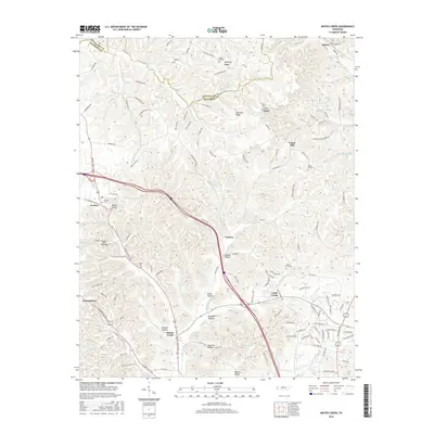
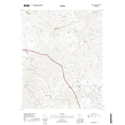
1955 Whites Creek
Davidson County, TN
1957 Hermitage
Davidson County, TN
1957 Nashville East
Davidson County, TN
1968 Antioch
Davidson County, TN
1968 Bellevue
Davidson County, TN
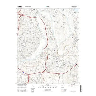
1968 Hermitage
Davidson County, TN
1968 Nashville East
Davidson County, TN

1968 Nashville West
Davidson County, TN
1968 Scottsboro
Davidson County, TN
1994 Whites Creek
Davidson County, TN
1997 Bellevue
Davidson County, TN
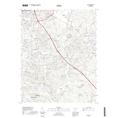
1997 Hermitage
Davidson County, TN
1997 Nashville East
Davidson County, TN
1997 Nashville West
Davidson County, TN
1997 Scottsboro
Davidson County, TN
1999 Antioch
Davidson County, TN
2010 Antioch
Davidson County, TN
2010 Bellevue
Davidson County, TN
2010 Hermitage
Davidson County, TN
2010 Nashville East
Davidson County, TN

2010 Nashville West
Davidson County, TN
2010 Scottsboro
Davidson County, TN
2010 Whites Creek
Davidson County, TN
2013 Antioch
Davidson County, TN
2013 Bellevue
Davidson County, TN
2013 Hermitage
Davidson County, TN
2013 Nashville East
Davidson County, TN
2013 Nashville West
Davidson County, TN
2013 Scottsboro
Davidson County, TN
2013 Whites Creek
Davidson County, TN
2016 Antioch
Davidson County, TN
2016 Bellevue
Davidson County, TN
2016 Hermitage
Davidson County, TN
2016 Nashville East
Davidson County, TN
2016 Nashville West
Davidson County, TN
2016 Scottsboro
Davidson County, TN
2016 Whites Creek
Davidson County, TN
2019 Antioch
Davidson County, TN
2019 Bellevue
Davidson County, TN
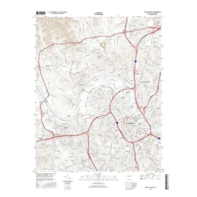
2019 Hermitage
Davidson County, TN
2019 Nashville East
Davidson County, TN
2019 Nashville West
Davidson County, TN
2019 Scottsboro
Davidson County, TN
2019 Whites Creek
Davidson County, TN
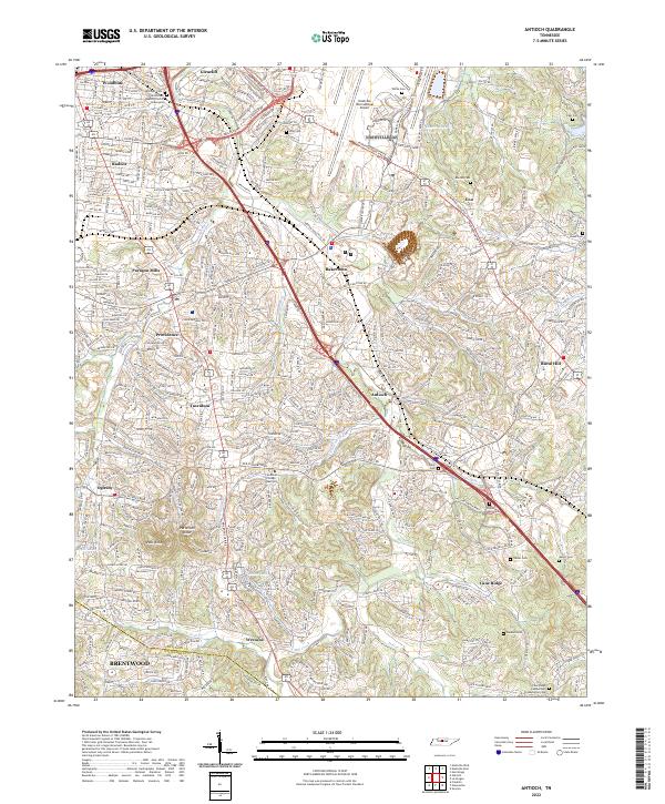
2022 Antioch
Davidson County, TN
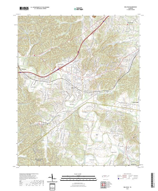
2022 Bellevue
Davidson County, TN
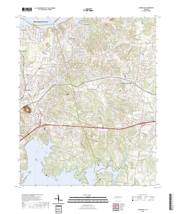
2022 Hermitage
Davidson County, TN
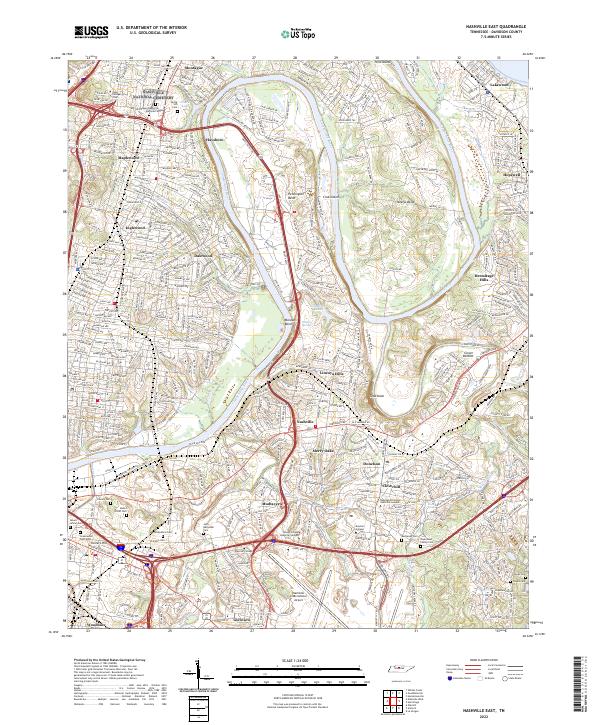
2022 Nashville East
Davidson County, TN
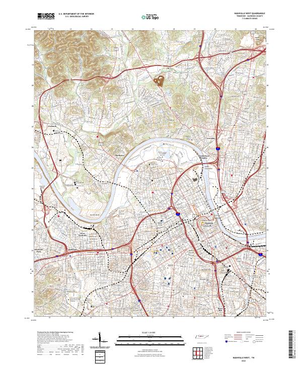
2022 Nashville West
Davidson County, TN
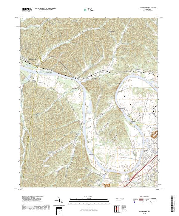
2022 Scottsboro
Davidson County, TN
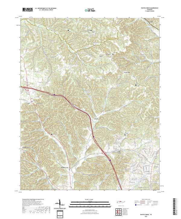
2022 Whites Creek
Davidson County, TN