
1955 Map of Laguardo
USGS Topo · Published 1956About this map
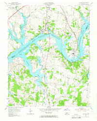
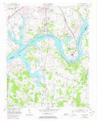
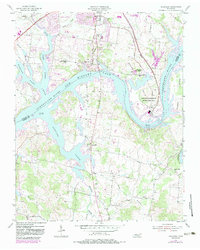
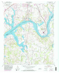
Old Hickory Reservoir dominates the landscape in this mid-century survey, its winding waters covering the former channel of the Cumberland River between Wilson and Sumner counties. The transition to a modern energy landscape is evident at the U S Reservation (TVA Steam Plant), which features a Control Tower and several stacks near the Spillway. Despite this industrial expansion, rural community markers remain prominent, including the Odoms Bend School and small country churches like Franklin Chapel and Peach Valley Ch.
Find a feature on this map
39 named features on this map. Tap any name to fly to it.
Don’t see what you’re looking for? This feature index may not catch every label — zoom into the map to look around manually.
Map Details
Editions of this 1955 Laguardo Map
5 editions found
Other maps of this area

1903 · Nashville
USGS Topo · 1:125,000

1932 · Hermitage
USGS Topo · 1:62,500

1942 · Gallatin
USGS Topo · 1:100,000

1942 · Lebanon
USGS Topo · 1:100,000

1951 · Lebanon
USGS Topo · 1:24,000

1951 · Martha
USGS Topo · 1:24,000

1952 · Hendersonville
USGS Topo · 1:24,000

1952 · Hermitage
USGS Topo · 1:24,000

1953 · Cottontown
USGS Topo · 1:24,000

1955 · Bethpage
USGS Topo · 1:24,000