Old Maps of Watertown, Tennessee
Explore 17 old maps of Watertown, spanning from 1942 to today. These high-resolution historic maps reveal how streets, neighborhoods, landmarks, and natural features evolved over time — perfect for genealogy, metal detecting, research, and local history exploration.
What you can do with these maps:
- See how Watertown changed over time: Compare historical maps to modern-day views to trace roads, homesites, rail lines & more.
- View detailed metadata: Each map includes creators, publishers, year, scale, and archive source.
- Overlay maps with satellite & LiDAR: Visualize the past alongside modern tools to explore terrain & human change.
- Trusted historical sources: Maps sourced from the USGS, Library of Congress, and other archives.
- Access maps your way: View online, download high-res files, or order prints for personal or research use.
Start exploring old maps of Watertown to uncover forgotten places, hidden landmarks, and the deep history beneath your feet.
Watertown, TN maps
(17)- 1942 Map of Statesville
 1942 Statesville1942 Print · USGSMid-century Tennessee comes alive in this survey of the river valleys and rail lines east of Nashville. Researchers can trace the path of the Tennessee Central Railway and locate historic points like Denny Seminary and Tuckers Crossroads.
 - 1956 Map of Nashville, 1971 Print
 1956 Nashville1971 Print · USGSThe Tennessee-Kentucky borderlands come into focus in the mid-1960s as major reservoir projects transformed the Cumberland and Tennessee river valleys. Researchers can trace the rail networks of the Louisville and Nashville and visit sites like Fort Campbell and Fort Donelson National Military Park.2 unique versions available
 - 1958 Map of Watertown, 1959 Print
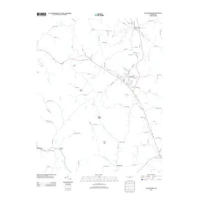
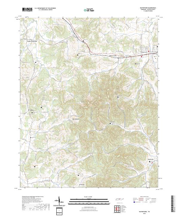
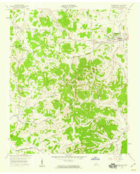 1958 Watertown1959 Print · USGSWatertown and the rural valleys of Wilson County are captured here in the late fifties at a height of rail and road connectivity. Genealogists and historians can trace old homesteads near Norene, find the Norene School, and locate rural landmarks like Fall Creek Church or Mt Defiance.2 unique versions available
 - 1958 Map of Alexandria, 1959 Print
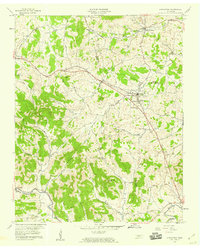 1958 Alexandria1959 Print · USGSMid-century Tennessee hill country comes alive here as the Tennessee Central railroad tracks connect Alexandria and Watertown. Genealogists and historians can trace family roots at Old Caney Fork Cem or locate Upper Helton Ch near the banks of Hickman Creek.3 unique versions available
 - 1959 Map of Nashville
 1959 Nashville1959 Print · USGSMiddle Tennessee and Southern Kentucky come into focus during the late fifties, showing the region's transition into a modern transportation and military hub. Researchers can trace the sprawling Fort Campbell Military Reservation or locate historic rail stops along the Tennessee Central Ry and Illinois Central RR.
 - 1984 Map of Nashville, 1985 Print
 1984 Nashville1985 Print · USGSMiddle Tennessee in the mid-1980s reveals a region balancing urban expansion with its deep river-valley roots. Genealogists and historians can trace family locations near Old Hickory Lake, explore the grounds of Vanderbilt University, or locate ancestral sites like Greenwood Cem.
 - 1994 Map of Watertown, 1997 Print
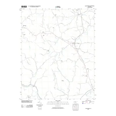
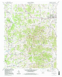 1994 Watertown1997 Print · USGSWilson County's rural landscape is captured here in the mid-nineties, showing a network of ridge-and-hollow settlements. Researchers can trace family history through sites like Doaks Crossroads, Norene Sch, and the Smith Fork Cem Ch.
 - 2010 Map of Watertown, 2010 Print
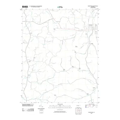 2010 Watertown2010 Print · USGSCovers Watertown, including Doaks Crossroads, Norene, and other nearby areas
 - 2010 Map of Alexandria, 2010 Print
 2010 Alexandria2010 Print · USGSCovers Watertown, including Alexandria, Brush Creek, and other nearby areas
 - 2013 Map of Watertown, 2013 Print
 2013 Watertown2013 Print · USGSCovers Watertown, including Doaks Crossroads, Norene, and other nearby areas
 - 2013 Map of Alexandria, 2013 Print
 2013 Alexandria2013 Print · USGSCovers Watertown, including Alexandria, Brush Creek, and other nearby areas
 - 2016 Map of Watertown, 2016 Print
 2016 Watertown2016 Print · USGSCovers Watertown, including Doaks Crossroads, Norene, and other nearby areas
 - 2016 Map of Alexandria, 2016 Print
 2016 Alexandria2016 Print · USGSCovers Watertown, including Alexandria, Brush Creek, and other nearby areas
 - 2019 Map of Alexandria, 2019 Print
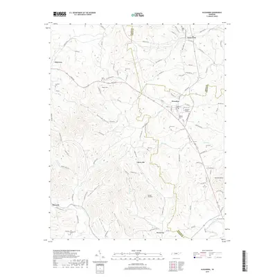 2019 Alexandria2019 Print · USGSCovers Watertown, including Alexandria, Brush Creek, and other nearby areas
 - 2019 Map of Watertown, 2019 Print
 2019 Watertown2019 Print · USGSCovers Watertown, including Doaks Crossroads, Norene, and other nearby areas
 - 2022 Map of Watertown, 2022 Print
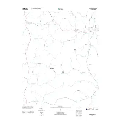
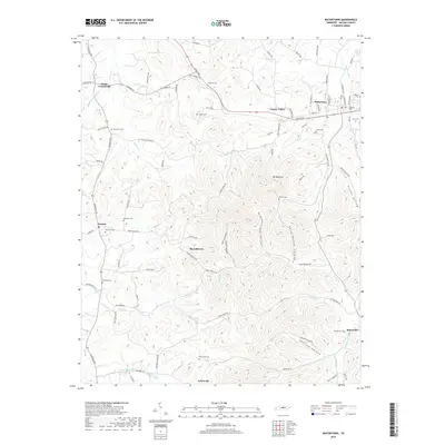
 2022 Watertown2022 Print · USGSWatertown and the rural reaches of Wilson County are documented here in the early twenty-first century. Researchers can trace family history through numerous hillside burial sites like Jennings Cem or locate the remote homesteads of Sherrilltown and Greenvale.
 - 2022 Map of Alexandria, 2022 Print
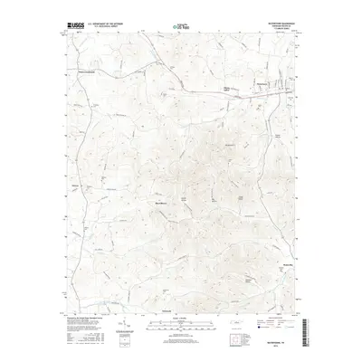
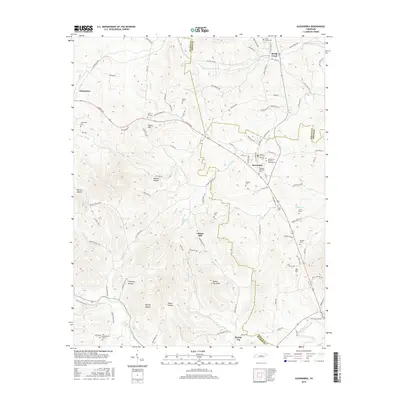
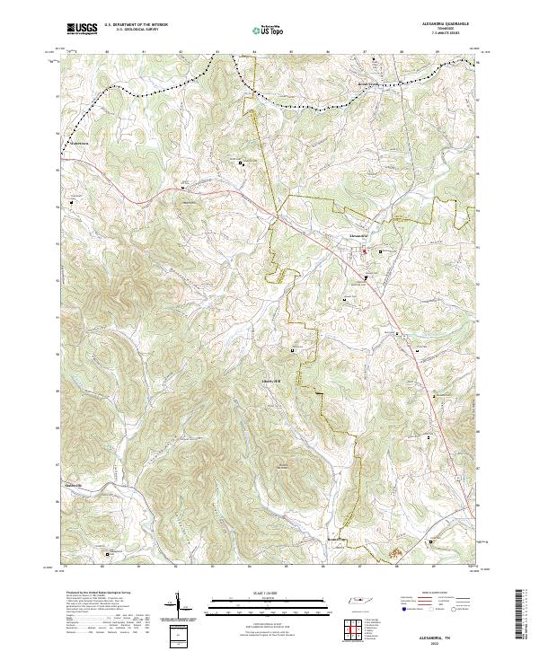 2022 Alexandria2022 Print · USGSMiddle Tennessee farming communities and crossroads appear here in the early twenty-first century as the landscape remains defined by its deep hollows and creek beds. Genealogists can trace family names through numerous burial sites like Grandstaff Cem, Hearn Hill Cem, and Vandatta Cem.
End of results
Showing maps 1-17 of 17
Top cities near Watertown
- Murfreesboro historical maps
- Lebanon historical maps
- Carthage historical maps
- South Carthage historical maps
- Gordonsville historical maps
- Alexandria historical maps
See more
Frequently asked questions
- What are the different types of historical maps available for Watertown?
- What is the oldest map of Watertown?
- Where can I purchase historical maps of Watertown for my home or office?
- Where can I download high-res historical maps of Watertown?
- Are there historical topographic maps available for Watertown?
- Is there historical aerial imagery available for Watertown?
- Where are historical maps of Watertown sourced from?