Old Maps of Liberty, Tennessee
Explore 25 old maps of Liberty, spanning from 1893 to today. These high-resolution historic maps reveal how streets, neighborhoods, landmarks, and natural features evolved over time — perfect for genealogy, metal detecting, research, and local history exploration.
What you can do with these maps:
- See how Liberty changed over time: Compare historical maps to modern-day views to trace roads, homesites, rail lines & more.
- View detailed metadata: Each map includes creators, publishers, year, scale, and archive source.
- Overlay maps with satellite & LiDAR: Visualize the past alongside modern tools to explore terrain & human change.
- Trusted historical sources: Maps sourced from the USGS, Library of Congress, and other archives.
- Access maps your way: View online, download high-res files, or order prints for personal or research use.
Start exploring old maps of Liberty to uncover forgotten places, hidden landmarks, and the deep history beneath your feet.
Liberty, TN maps
(25)- 1893 Map of Mc Minnville
 1893 Mc Minnville1893 Print · USGSThe river-and-rail economy of Warren and DeKalb counties is captured here in the 1890s. Researchers can trace old ferry crossings like Pin Hook Ferry and local industry at Daly Mill or Magness Mills.
 - 1895 Map of Mc Minnville
 1895 Mc Minnville1895 Print · USGSWarren and DeKalb Counties in the 1890s are defined by the winding Collins River and the early rail lines connecting the Highland Rim. Genealogists can trace family footprints near Magness Mills, White Seminary, or old river crossings like Bailiff Old Ferry.5 unique versions available
 - 1928 Map of Gordonsville
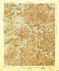 1928 Gordonsville1928 Print · USGSMiddle Tennessee in the late twenties was a landscape defined by the winding bends of the Caney Fork and the rise of rural river settlements. Genealogists can locate family-named landmarks like Walker Creek Sch and Hurst Chapel, or trace old river crossings at Greenmoos Ferry and Loves Ferry.2 unique versions available
 - 1942 Map of Statesville
 1942 Statesville1942 Print · USGSMid-century Tennessee comes alive in this survey of the river valleys and rail lines east of Nashville. Researchers can trace the path of the Tennessee Central Railway and locate historic points like Denny Seminary and Tuckers Crossroads.
 - 1953 Map of Chattanooga
 1953 Chattanooga1953 Print · USGSSoutheast Tennessee in the early fifties shows a landscape reshaped by river management and rail power. Trace the rail lines of the Southern Ry through riverside towns or locate the preserved grounds of the Chickamauga and Chattanooga National Military Park.
 - 1956 Map of Corbin, 1966 Print
 1956 Corbin1966 Print · USGSThe Kentucky and Tennessee borderlands are captured here in the mid-fifties, showing the region's shift toward modern interstate travel and reservoir development. Genealogists and historians can trace old community lines near Albany and Monticello or locate early rail junctions along the Southern and Tennessee Central lines.3 unique versions available
 - 1957 Map of Chattanooga, 1966 Print
 1957 Chattanooga1966 Print · USGSEast Tennessee in the mid-1960s shows a landscape of massive hydroelectric reservoirs and emerging industrial sites like the Atomic Energy Commission (Oak Ridge Area). Trace the rail networks of the Southern Ry through Chattanooga or locate family-named ridges across the Cumberland Plateau.3 unique versions available
 - 1958 Map of Corbin
 1958 Corbin1958 Print · USGSThe Upper Cumberland borderlands appear in the late 1950s as massive reservoirs and early atomic-era growth reshape the region. Trace family roots and vanished landmarks near Lake Cumberland, Oak Ridge, and the Cumberland National Forest.
 - 1959 Map of Chattanooga
 1959 Chattanooga1959 Print · USGSSoutheast Tennessee is shown here during a decade of industrial growth and hydroelectric development. Trace the regional rail networks of the Southern Ry and find landmark sites like Lookout Mountain, Fall Creek Falls State Park, and Chattanooga.
 - 1960 Map of Chattanooga
 1960 Chattanooga1960 Print · USGSSoutheast Tennessee and the southern Appalachians are shown here at the height of the river-management era. You can trace the valley rail lines and locate Lookout Mountain and the expansive waters of Chickamauga Reservoir.
 - 1960 Map of Gassaway, 1961 Print
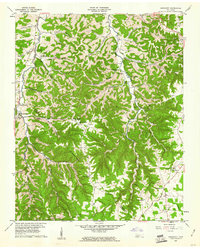 1960 Gassaway1961 Print · USGSDeKalb and Cannon counties were defined by deep hollows and high ridges during the mid-century. Genealogists can trace family landmarks and rural centers like Gassaway, Mt Pisgah Ch, and Beech Hill Cem among the numerous caves and springs.3 unique versions available
 - 1962 Map of Liberty, 1964 Print
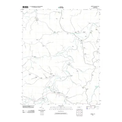
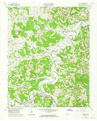 1962 Liberty1964 Print · USGSThe rural communities of DeKalb County are captured in the early sixties as they navigated the transition between traditional valley farming and new reservoir management. Researchers can locate dozens of family burial grounds and churches like Cooper Chapel and Gwaltney Cem, or trace the winding course of the Smith Fork.3 unique versions available
 - 1964 Map of Chattanooga
 1964 Chattanooga1964 Print · USGSSoutheast Tennessee and the western Carolinas appear in the mid-sixties as a powerhouse of river-driven industry and mountain wilderness. Genealogists and historians can trace rail-town lineages along the Southern Ry or locate family landmarks near Watts Bar Lake and Tellico Plains.
 - 1981 Map of Mc Minnville
 1981 Mc Minnville1981 Print · USGSThe Cumberland Plateau and the Sequatchie Valley meet in this early 1980s look at Warren and White Counties. Researchers can locate vanished rural landmarks like Hutchins College, the old rail stops of the Tennessee Central, and Mount Zion Cem.
 - 1982 Map of Cookeville, 1983 Print
 1982 Cookeville1983 Print · USGSThe Upper Cumberland region comes into focus during the early eighties as Cookeville and its surrounding counties adapt to new reservoirs and highways. Researchers can trace the Louisville and Nashville rail line and locate landmarks like Tennessee Technological University and Standing Stone State Forest.
 - 2010 Map of Gassaway, 2010 Print
 2010 Gassaway2010 Print · USGSCovers Liberty, including Snows Hill, Pisgah, and other nearby areas
 - 2010 Map of Liberty, 2010 Print
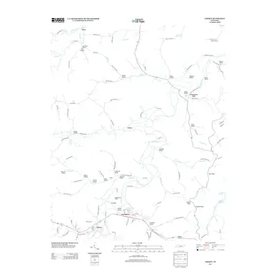
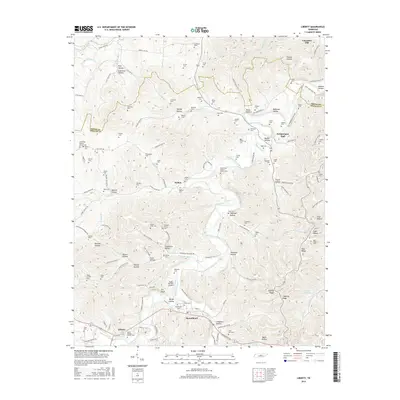
 2010 Liberty2010 Print · USGSCovers Liberty, including Dowelltown, Temperance Hall, and other nearby areas
 - 2013 Map of Liberty, 2013 Print
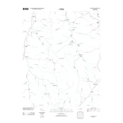
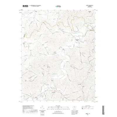
 2013 Liberty2013 Print · USGSCovers Liberty, including Dowelltown, Temperance Hall, and other nearby areas
 - 2013 Map of Gassaway, 2013 Print
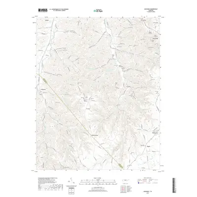
 2013 Gassaway2013 Print · USGSCovers Liberty, including Snows Hill, Pisgah, and other nearby areas
 - 2016 Map of Gassaway, 2016 Print
 2016 Gassaway2016 Print · USGSCovers Liberty, including Snows Hill, Pisgah, and other nearby areas
 - 2016 Map of Liberty, 2016 Print
 2016 Liberty2016 Print · USGSCovers Liberty, including Dowelltown, Temperance Hall, and other nearby areas
 - 2019 Map of Gassaway, 2019 Print
 2019 Gassaway2019 Print · USGSCovers Liberty, including Snows Hill, Pisgah, and other nearby areas
 - 2019 Map of Liberty, 2019 Print
 2019 Liberty2019 Print · USGSCovers Liberty, including Dowelltown, Temperance Hall, and other nearby areas
 - 2022 Map of Gassaway, 2022 Print
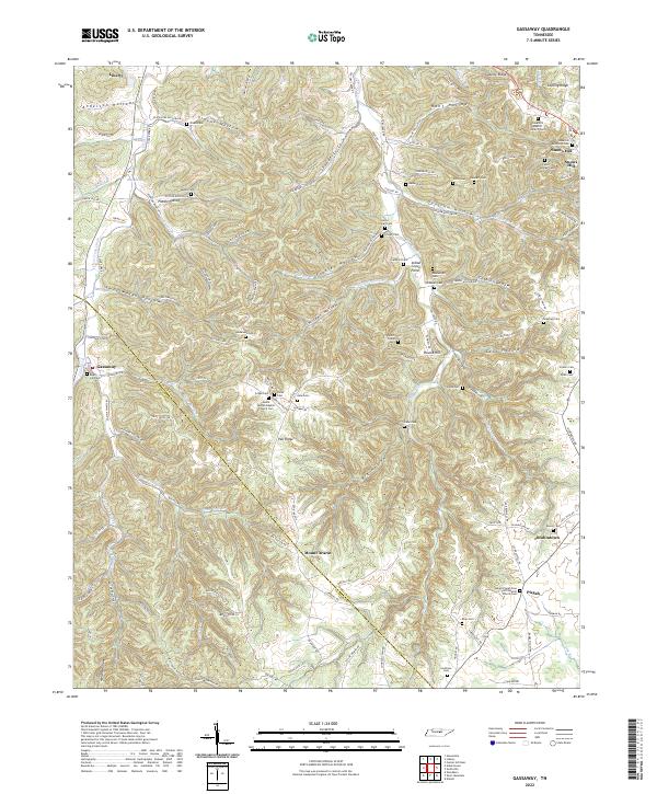 2022 Gassaway2022 Print · USGSDeKalb County’s rugged ridge-and-hollow country is documented here at the start of the 2020s. Researchers can trace family history through dozens of rural landmarks, including Gassaway School, Bluhmtown, and Snow Hill Baptist Church Cem.
 - 2022 Map of Liberty, 2022 Print
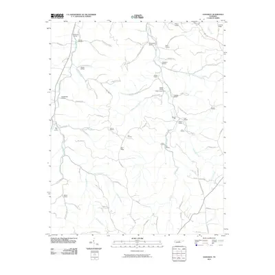
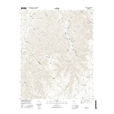
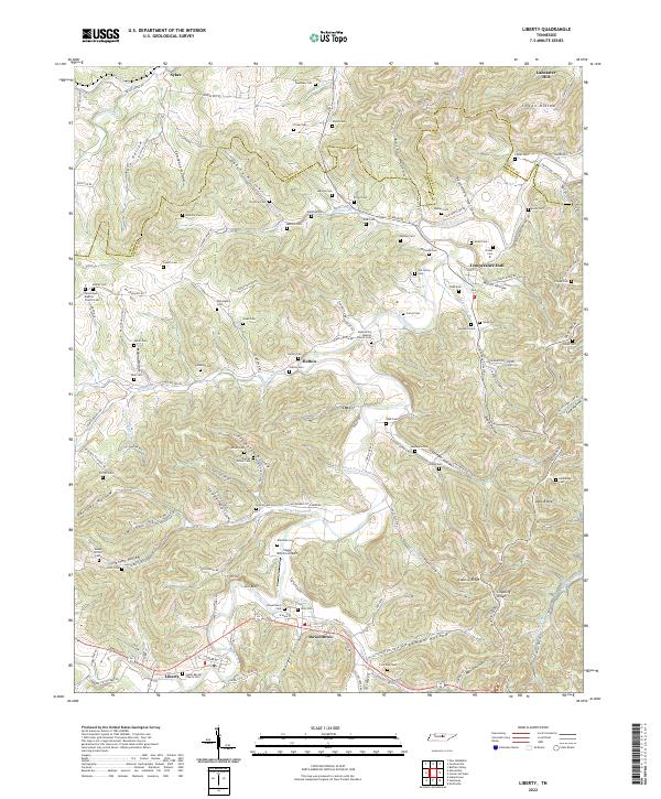 2022 Liberty2022 Print · USGSDeKalb County and the southern tip of Smith County are mapped here in the modern era as they follow the winding course of the Smith Fork Creek. Genealogists and historians can locate numerous family burial sites like Foutch Cem and Bates Cem, or trace early community centers in Liberty and Dowelltown.
End of results
Showing maps 1-25 of 25
Top cities near Liberty
- Smithville historical maps
- Woodbury historical maps
- Watertown historical maps
- South Carthage historical maps
- Gordonsville historical maps
- Alexandria historical maps
See more
Frequently asked questions
- What are the different types of historical maps available for Liberty?
- What is the oldest map of Liberty?
- Where can I purchase historical maps of Liberty for my home or office?
- Where can I download high-res historical maps of Liberty?
- Are there historical topographic maps available for Liberty?
- Is there historical aerial imagery available for Liberty?
- Where are historical maps of Liberty sourced from?