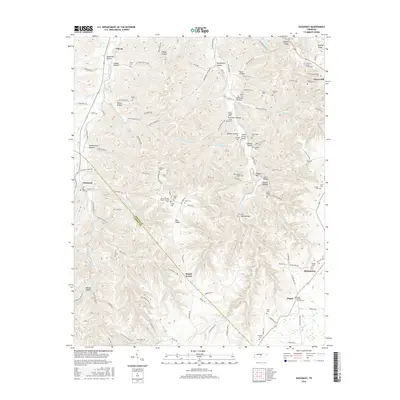
2016 Map of Gassaway
USGS Topo · Published 2016About this map
The settlement of Liberty sits in the northern reaches of this DeKalb County landscape, where the waters of Clear Fork Creek wind through a series of steep valleys. The terrain is defined by a dense network of hollows, including Givens Hollow and Pistole Hollow, which historically dictated the placement of small family farms and community centers. The map reveals a high density of rural burial grounds and places of worship, such as Mount Moriah Baptist Church and the Snow Hill Methodist Cem, reflecting the deep-seated genealogical roots of the area.
Find a feature on this map
131 named features on this map. Tap any name to fly to it.
Don’t see what you’re looking for? This feature index may not catch every label — zoom into the map to look around manually.
Map Details
Editions of this 2016 Gassaway Map
This is the sole edition of this map. No revisions or reprints were ever made.
Other maps of this area

1893 · Mc Minnville
USGS Topo · 1:125,000

1895 · Mc Minnville
USGS Topo · 1:125,000

1908 · Woodbury
USGS Topo · 1:62,500

1928 · Gordonsville
USGS Topo · 1:62,500

1942 · Statesville
USGS Topo · 1:100,000

1953 · Chattanooga
USGS Topo · 1:250,000

1956 · Columbia
USGS Topo · 1:250,000

1956 · Corbin
USGS Topo · 1:250,000

1956 · Nashville
USGS Topo · 1:250,000

1957 · Chattanooga
USGS Topo · 1:250,000