
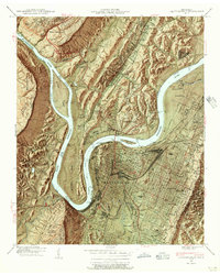
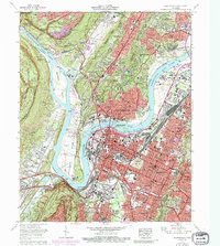
1953 Map of Chattanooga
USGS Topo · Published 1953About this map
The Chattanooga riverfront and the surrounding Tennessee Valley are documented here in the early 1950s, a period when the regional landscape was defined by the massive hydroelectric projects of the Tennessee Valley Authority. Broad water bodies like Watts Bar Reservoir and Chickamauga Reservoir dominate the lowlands, contrasting with the dramatic rise of the Cumberland Plateau and Walden Ridge to the west. This survey illustrates the mid-century industrial and transport hub of the region, showing the convergence of the Southern Ry and the Louisville & Nashville Rr at several junctions. To the east, the map transitions from valley floor settlements like Cleveland and Athens into the high elevations of the Cherokee National Forest and the Unicoi Mountains, providing a detailed look at the interface between the controlled river system and the wilderness of the Great Smoky Mountains National Park.
Find a feature on this map
68 named features on this map. Tap any name to fly to it.
Don’t see what you’re looking for? This feature index may not catch every label — zoom into the map to look around manually.
Map Details
Editions of this 1953 Chattanooga Map
This is the sole edition of this map. No revisions or reprints were ever made.
Historical Maps of Knoxville Through Time
15 maps found

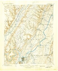
1888 Chattanooga
Hamilton County, TN
1893 Chattanooga
Hamilton County, TN

1936 Chattanooga
Hamilton County, TN
1940 Chattanooga
Hamilton County, TN
1941 Chattanooga
Hamilton County, TN
1953 Chattanooga
Hamilton County, TN

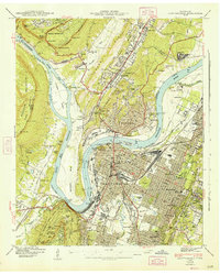
1957 Chattanooga
Hamilton County, TN
1958 Chattanooga
Hamilton County, TN

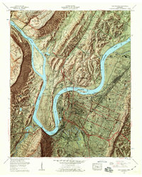
1959 Chattanooga
Hamilton County, TN

1960 Chattanooga
Hamilton County, TN

1964 Chattanooga
Hamilton County, TN
1969 Chattanooga
Hamilton County, TN

1979 Chattanooga
Hamilton County, TN

1988 Chattanooga
Hamilton County, TN
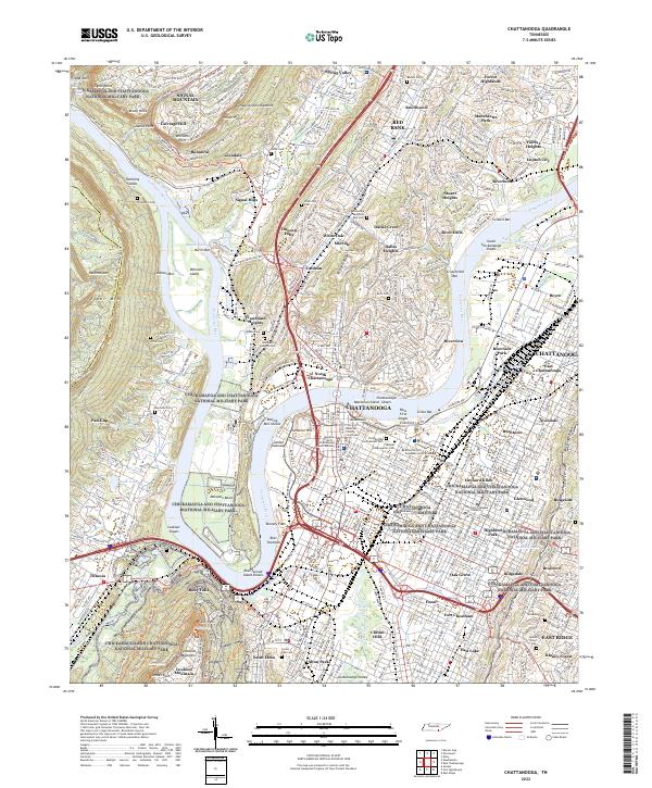
2022 Chattanooga
Hamilton County, TN