Loading...
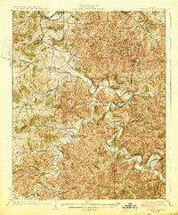
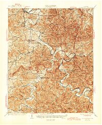
Loading map...1928 Map of Gordonsville
USGS Topo · Published 1928About this map
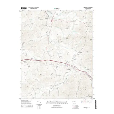
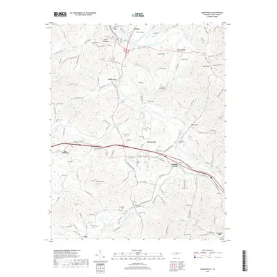
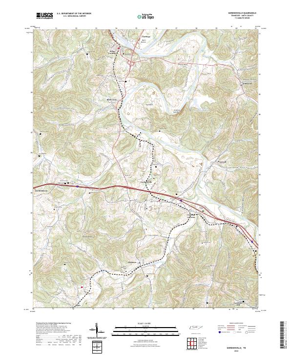
Caney Fork and its winding tributaries dominate this landscape during a period of rural expansion in Middle Tennessee. The map details a complex network of river crossings and high-elevation settlements, showing the reliance on water transport and ferries before the modern highway system was fully realized. Significant topographic landmarks like Dripping Rock Bluff and Moccasin Bluff Sch overlook the river bends, while the Tennessee Central RR provides the primary industrial link through Buffalo Valley.
Find a feature on this map
88 named features on this map. Tap any name to fly to it.
Don’t see what you’re looking for? This feature index may not catch every label — zoom into the map to look around manually.
Map Details
Date Portrayed1928
Date Published1928
PublisherU.S. Geological Survey
Map TypeTopographic
Scale1:62,500
Physical Dimensions16.5 x 19.92 inches
Editions of this 1928 Gordonsville Map
2 editions found
Historical Maps of Carthage Through Time
7 maps found

Featured Locations
Source Details
SourceU.S. Geological Survey
CopyrightPublic Domain