
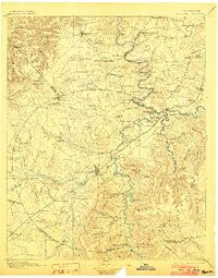
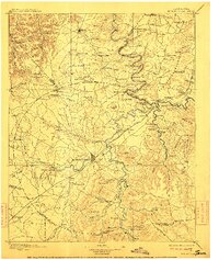
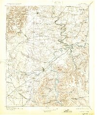
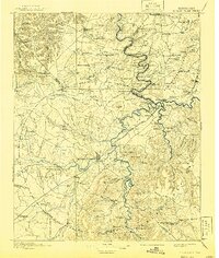
1895 Map of Mc Minnville
USGS Topo · Published 1895About this map
Mc Minnville and Smithville serve as the primary hubs in this late 19th-century survey of the Central Basin and the edge of the Highland Rim. The landscape is defined by the winding course of the Collins River and the Caney Fork, which dictated the early transportation and industrial patterns of the region. Numerous river crossings, including Bailiff Old Ferry, Pin Hook Ferry, and Pates Ford, highlight how commerce moved before extensive bridging.
Find a feature on this map
157 named features on this map. Tap any name to fly to it.
Don’t see what you’re looking for? This feature index may not catch every label — zoom into the map to look around manually.
Map Details
Editions of this 1895 Mc Minnville Map
5 editions found
Other maps of this area

1888 · Chattanooga
USGS Topo · 1:125,000

1892 · Pikeville
USGS Topo · 1:125,000

1893 · Mc Minnville
USGS Topo · 1:125,000

1893 · Chattanooga
USGS Topo · 1:125,000

1895 · Sewanee
USGS Topo · 1:125,000

1895 · Pikeville
USGS Topo · 1:125,000

1897 · Standingstone
USGS Topo · 1:125,000

1898 · Standingstone
USGS Topo · 1:125,000

1908 · Woodbury
USGS Topo · 1:62,500

1913 · Hollow Springs
USGS Topo · 1:62,500