1895 Map of Mc Minnville
USGS Topo · Published 1941About this map
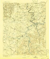
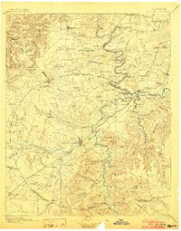
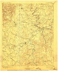
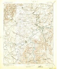
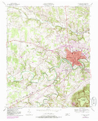
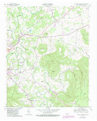
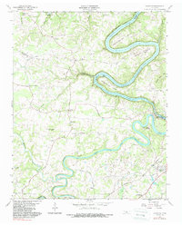
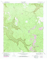
McMinnville and Smithville serve as the primary hubs in this late nineteenth-century survey of middle Tennessee, where a network of water-powered industry and river crossings defines the landscape. The Collins River and its many tributaries, including Barren Fork and Hickory Creek, supported numerous family-run operations such as Daly Mill, Wells Mill, and Lawson Mill. The terrain transitions from the elevations of Short Mtn. and the Cumberland plateau edge into valleys like the Valley of the Cane Killer, reflecting the area's complex topography before major twentieth-century infrastructure changes.
Find a feature on this map
155 named features on this map. Tap any name to fly to it.
Don’t see what you’re looking for? This feature index may not catch every label — zoom into the map to look around manually.
Map Details
Editions of this 1895 Mc Minnville Map
5 editions found

Historical Maps of McMinnville Through Time
34 maps found

1893 Mc Minnville
Warren County, TN
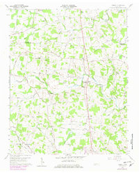
1895 Mc Minnville
Warren County, TN
1953 Mc Minnville
Warren County, TN
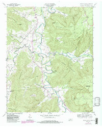
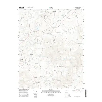
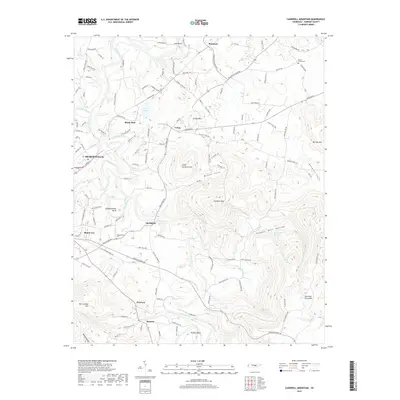
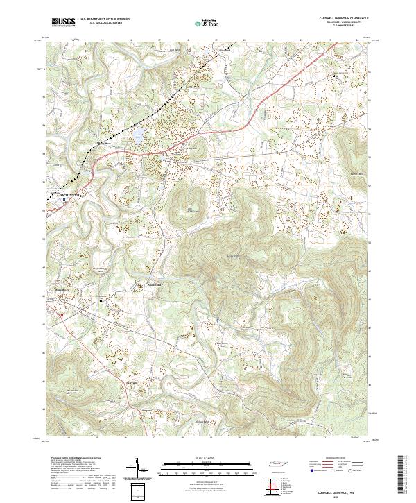
1957 Cardwell Mountain
Warren County, TN
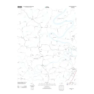
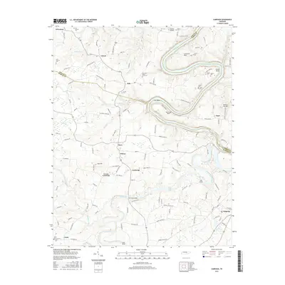
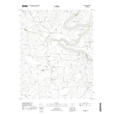
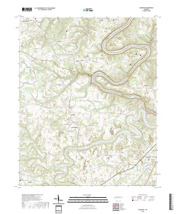
1960 Campaign
Warren County, TN
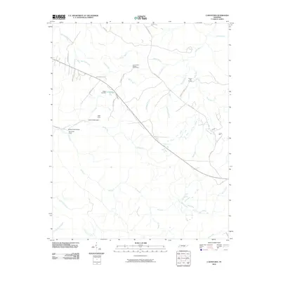
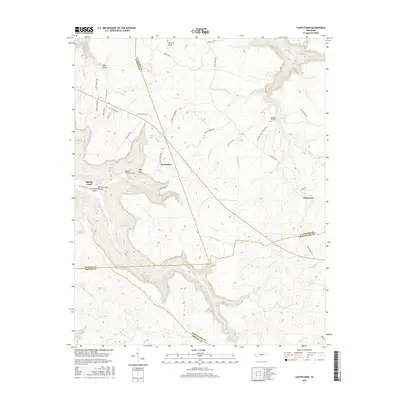
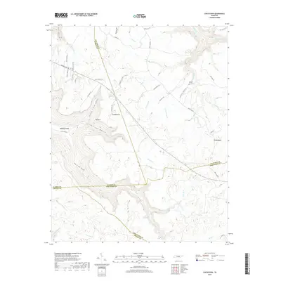
1960 Curtistown
Warren County, TN
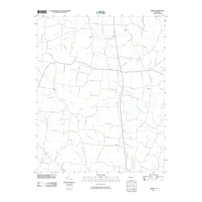
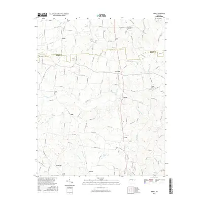
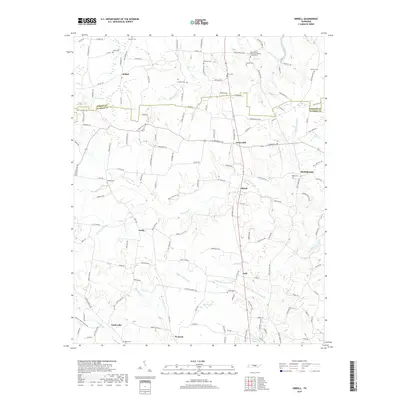
1960 Dibrell
Warren County, TN
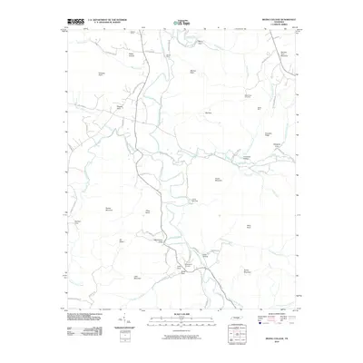
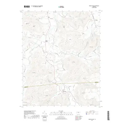
1960 Irving College
Warren County, TN

1981 Mc Minnville
Warren County, TN
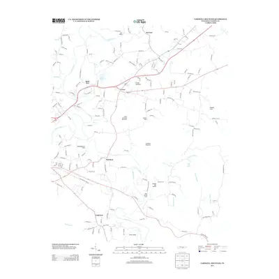
2010 Campaign
Warren County, TN
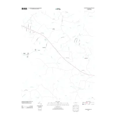
2010 Cardwell Mountain
Warren County, TN
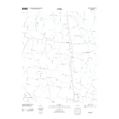
2010 Curtistown
Warren County, TN
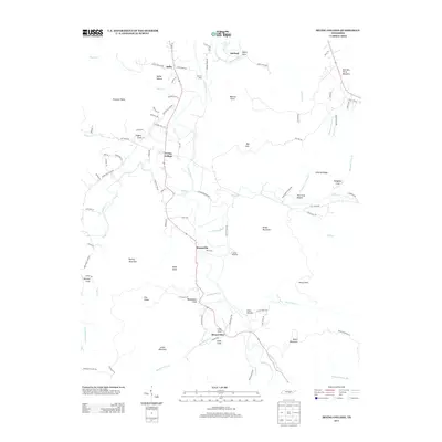
2010 Dibrell
Warren County, TN
2010 Irving College
Warren County, TN
2013 Campaign
Warren County, TN
2013 Cardwell Mountain
Warren County, TN
2013 Curtistown
Warren County, TN
2013 Dibrell
Warren County, TN
2013 Irving College
Warren County, TN
2016 Campaign
Warren County, TN
2016 Cardwell Mountain
Warren County, TN
2016 Curtistown
Warren County, TN
2016 Dibrell
Warren County, TN
2016 Irving College
Warren County, TN
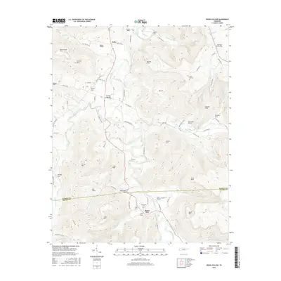
2019 Campaign
Warren County, TN
2019 Cardwell Mountain
Warren County, TN
2019 Curtistown
Warren County, TN
2019 Dibrell
Warren County, TN
2019 Irving College
Warren County, TN
2022 Campaign
Warren County, TN
2022 Cardwell Mountain
Warren County, TN
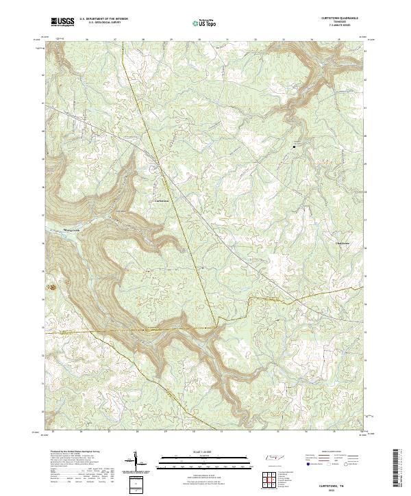
2022 Curtistown
Warren County, TN
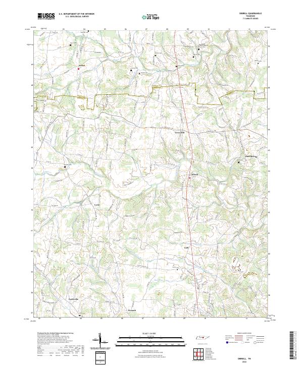
2022 Dibrell
Warren County, TN
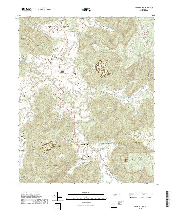
2022 Irving College
Warren County, TN