
Loading...
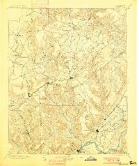
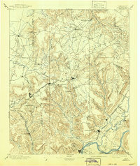
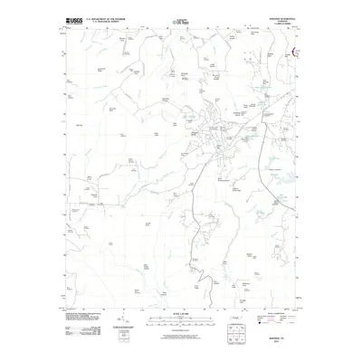
Loading map...1895 Map of Sewanee
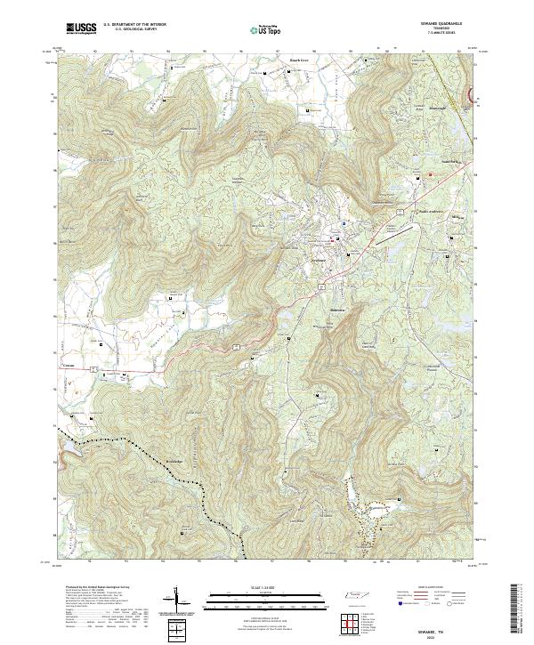
USGS Topo · Published 1895About this map
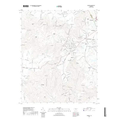
Cowan Tunnel and the winding rails of the St. Louis and Nashville Chattanooga RR define the industrial and transport character of this Cumberland Plateau landscape. The map captures a period where the plateau's dramatic topography dictated the reach of commerce, from the iron works at South Pittsburg to the remote settlements of Altamont and Beersheba Springs. The Sequatchie River valley provides a stark contrast to the plateau's deep coves, such as Jump Off Cove and Sweden Cove.
Find a feature on this map
113 named features on this map. Tap any name to fly to it.
Don’t see what you’re looking for? This feature index may not catch every label — zoom into the map to look around manually.
Map Details
Date Portrayed1895
Date Published1895
PublisherU.S. Geological Survey
Map TypeTopographic
Scale1:125,000
Physical Dimensions16.8 x 19.98 inches
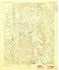
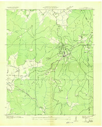
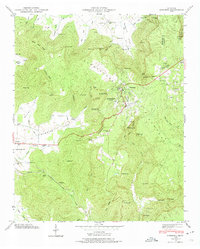
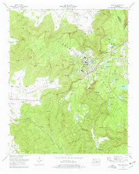
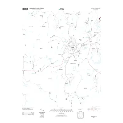
Editions of this 1895 Sewanee Map
6 editions found
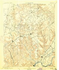
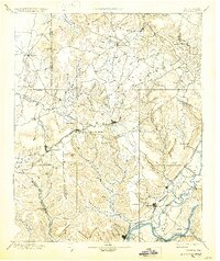
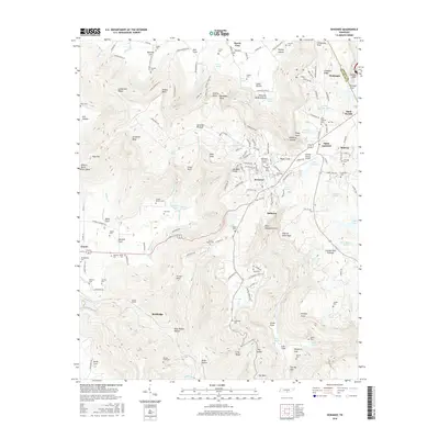
Historical Maps of South Pittsburg Through Time
9 maps found
Featured Locations
Source Details
SourceU.S. Geological Survey
CopyrightPublic Domain