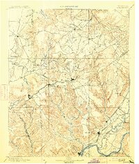
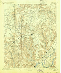
1895 Map of Sewanee
USGS Topo · Published 1913About this map
Beersheba Springs and Altamont anchor the high plateau of the Cumberland in this late 19th-century survey, which details a landscape defined by deep coves and emerging industrial corridors. The topographic work of L.Nell and M. Hackett traces the expansion of the Nashville Chattanooga and St. Louis R. R. as it navigates the difficult terrain, most notably through the Cowan Tunnel and into the coal-rich valleys near Victoria and Whitwell.
Find a feature on this map
122 named features on this map. Tap any name to fly to it.
Don’t see what you’re looking for? This feature index may not catch every label — zoom into the map to look around manually.
Map Details
Editions of this 1895 Sewanee Map
6 editions found

Other maps of this area

1886 · Ringgold
USGS Topo · 1:125,000

1886 · Stevenson
USGS Topo · 1:125,000

1888 · Chattanooga
USGS Topo · 1:125,000

1888 · Scottsboro
USGS Topo · 1:125,000

1892 · Pikeville
USGS Topo · 1:125,000

1892 · Ringgold
USGS Topo · 1:125,000

1892 · Scottsboro
USGS Topo · 1:125,000

1892 · Stevenson
USGS Topo · 1:125,000

1893 · Mc Minnville
USGS Topo · 1:125,000

1893 · Chattanooga
USGS Topo · 1:125,000