Old Maps of Marion County, Tennessee
Explore 76 old maps of Marion County, spanning from 1886 to today. These high-resolution historic maps reveal how streets, neighborhoods, landmarks, and natural features evolved over time — perfect for genealogy, metal detecting, research, and local history exploration.
What you can do with these maps:
- See how Marion County changed over time: Compare historical maps to modern-day views to trace roads, homesites, rail lines & more.
- View detailed metadata: Each map includes creators, publishers, year, scale, and archive source.
- Overlay maps with satellite & LiDAR: Visualize the past alongside modern tools to explore terrain & human change.
- Trusted historical sources: Maps sourced from the USGS, Library of Congress, and other archives.
- Access maps your way: View online, download high-res files, or order prints for personal or research use.
Start exploring old maps of Marion County to uncover forgotten places, hidden landmarks, and the deep history beneath your feet.
Marion County, TN maps
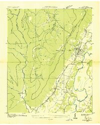
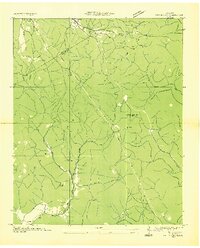
(76)- 1886 Map of Ringgold
 1886 Ringgold1886 Print · USGSCovers Marion County, including Chattanooga, Dalton, and other nearby areas
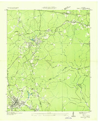
 - 1886 Map of Stevenson
 1886 Stevenson1886 Print · USGSCovers Marion County, including Scottsboro, Fort Payne, and other nearby areas
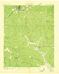
 - 1888 Map of Chattanooga
 1888 Chattanooga1888 Print · USGSCovers Marion County, including Chattanooga, East Ridge, and other nearby areas
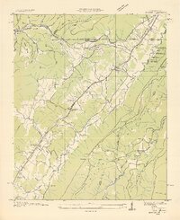
 - 1892 Map of Ringgold
 1892 Ringgold1892 Print · USGSCovers Marion County, including Chattanooga, Dalton, and other nearby areas9 unique versions available
 - 1892 Map of Stevenson
 1892 Stevenson1892 Print · USGSCovers Marion County, including Scottsboro, Fort Payne, and other nearby areas
 - 1893 Map of Chattanooga
 1893 Chattanooga1893 Print · USGSCovers Marion County, including Chattanooga, East Ridge, and other nearby areas9 unique versions available
 - 1895 Map of Stevenson
 1895 Stevenson1895 Print · USGSCovers Marion County, including Scottsboro, Fort Payne, and other nearby areas6 unique versions available
 - 1895 Map of Sewanee
 1895 Sewanee1895 Print · USGSCovers Marion County, including South Pittsburg, Jasper, and other nearby areas6 unique versions available
 - 1936 Map of Palmer
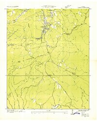 1936 Palmer1936 Print · USGSCovers Marion County, including Gruetli-Laager, Palmer, and other nearby areas
 - 1936 Map of Shellmound
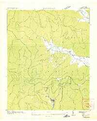
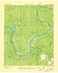
 1936 Shellmound1936 Print · USGSCovers Marion County, including Trenton, New Hope, and other nearby areas
 - 1936 Map of Daus
 1936 Daus1936 Print · USGSCovers Marion County, including Dunlap, Liberty, and other nearby areas
 - 1936 Map of Orme
 1936 Orme1936 Print · USGSCovers Marion County, including Orme, The Crossroads, and other nearby areas
 - 1936 Map of Bridgeport
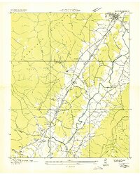
 1936 Bridgeport1936 Print · USGSCovers Marion County, including South Pittsburg, Bridgeport, and other nearby areas
 - 1936 Map of Whitwell
 1936 Whitwell1936 Print · USGSCovers Marion County, including Whitwell, Powells Crossroads, and other nearby areas
 - 1936 Map of Tracy City
 1936 Tracy City1936 Print · USGSCovers Marion County, including Gruetli-Laager, Tracy City, and other nearby areas
 - 1936 Map of Ketner Gap
 1936 Ketner Gap1936 Print · USGSCovers Marion County, including Signal Mountain, Whitwell, and other nearby areas
 - 1936 Map of Monteagle
 1936 Monteagle1936 Print · USGSCovers Marion County, including Tracy City, Monteagle, and other nearby areas
 - 1936 Map of Hooker
 1936 Hooker1936 Print · USGSCovers Marion County, including Chattanooga, Trenton, and other nearby areas
 - 1936 Map of White City
 1936 White City1936 Print · USGSCovers Marion County, including Oak Grove, Lankford Town, and other nearby areas
 - 1936 Map of Wauhatchie
 1936 Wauhatchie1936 Print · USGSCovers Marion County, including Chattanooga, Shake Rag, and other nearby areas
 - 1936 Map of Sequatchie
 1936 Sequatchie1936 Print · USGSCovers Marion County, including Jasper, New Hope, and other nearby areas
 - 1936 Map of Chattanooga
 1936 Chattanooga1936 Print · USGSCovers Marion County, including Chattanooga, East Ridge, and other nearby areas
 - 1936 Map of Doran Cove
 1936 Doran Cove1936 Print · USGSCovers Marion County, including Bridgeport, Stevenson, and other nearby areas
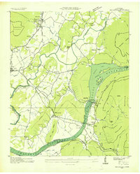
 - 1936 Map of South Pittsburg
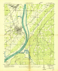
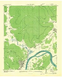 1936 South Pittsburg1936 Print · USGSCovers Marion County, including South Pittsburg, Jasper, and other nearby areas
 - 1940 Map of Chattanooga
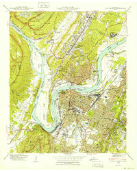 1940 Chattanooga1940 Print · USGSCovers Marion County, including Chattanooga, East Ridge, and other nearby areas2 unique versions available
Showing maps 1-25 of 76
Top cities of Marion County
- South Pittsburg historical maps
- Jasper historical maps
- Whitwell historical maps
- Kimball historical maps
- Powells Crossroads historical maps
- New Hope historical maps
See more
Frequently asked questions
- What are the different types of historical maps available for Marion County?
- What is the oldest map of Marion County?
- Where can I purchase historical maps of Marion County for my home or office?
- Where can I download high-res historical maps of Marion County?
- Are there historical topographic maps available for Marion County?
- Is there historical aerial imagery available for Marion County?
- Where are historical maps of Marion County sourced from?