Loading...
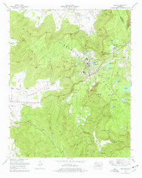
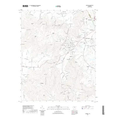
Loading map...1974 Map of Sewanee
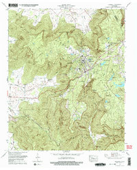
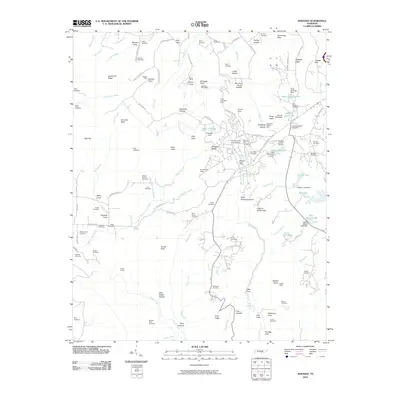
USGS Topo · Published 1977About this map
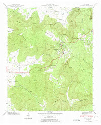
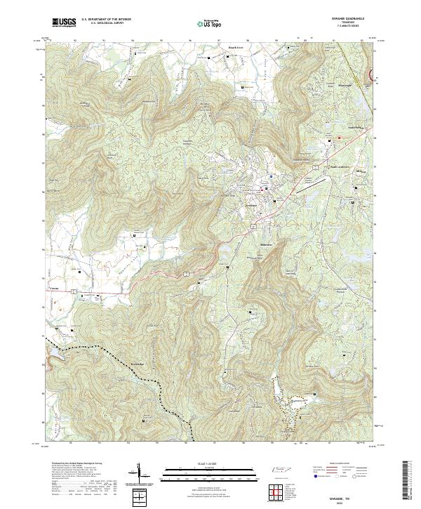
The University of the South defines the high ground of the Cumberland Plateau in this mid-1970s survey. The campus and surrounding community of Sewanee are intricately detailed, showing the Sewanee Academy, Athletic field, and the University of the South-Franklin County Airport. The landscape is characterized by dramatic escarpments and named overlooks such as Morgans Steep and Point Disappointment, which drop away into deep coves like Hawkins Cove and Miller Cove.
Find a feature on this map
102 named features on this map. Tap any name to fly to it.
Don’t see what you’re looking for? This feature index may not catch every label — zoom into the map to look around manually.
Map Details
Date Portrayed1974
Date Published1977
PublisherU.S. Geological Survey
Map TypeTopographic
Scale1:24,000
Physical Dimensions22 x 27.5 inches
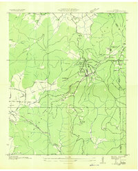
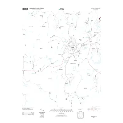
Editions of this 1974 Sewanee Map
2 editions found
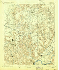
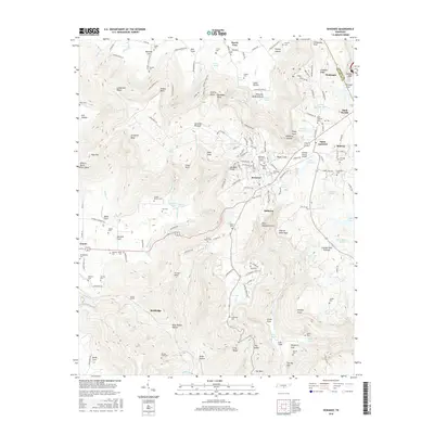
Historical Maps of Sewanee Through Time
9 maps found
Featured Locations
Source Details
SourceU.S. Geological Survey
CopyrightPublic Domain