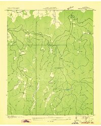
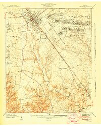
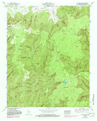
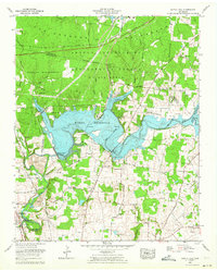
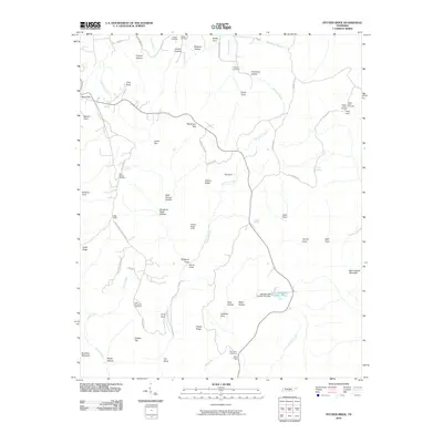
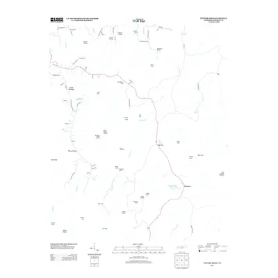
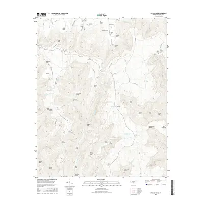
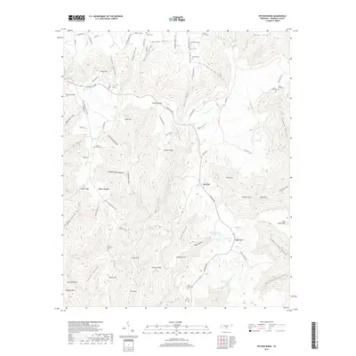
1936 Map of Pitcher Ridge
USGS Topo · Published 1936About this map
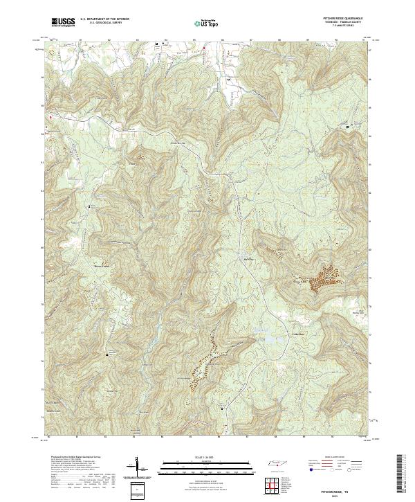
Cumberland Plateau terrain defines this mid-1930s landscape in Franklin County, where the Tennessee Valley Authority and U.S. Geological Survey documented the deeply eroded escarpments and interior coves. This survey highlights the rural community infrastructure of the era, centered around Keith Springs Sch and the nearby Keith Springs Ch. The map reveals a specialized upland topography where drainage often disappears into subterranean features like The Sinks. Extensive trail systems and mountain gaps, such as Windtrace Gap and Rowe Gap, illustrate the historic passage routes through the ridges. The presence of multiple isolated educational sites, including Little Mountain Sch and Crabtree Cove Sch, suggests a population distributed among the fertile hollows and sheltered coves like Williams Cove and Caroline Cove before modern infrastructure centralized these mountain communities.
Find a feature on this map
49 named features on this map. Tap any name to fly to it.
Don’t see what you’re looking for? This feature index may not catch every label — zoom into the map to look around manually.
Map Details
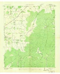
Editions of this 1936 Pitcher Ridge Map
This is the sole edition of this map. No revisions or reprints were ever made.
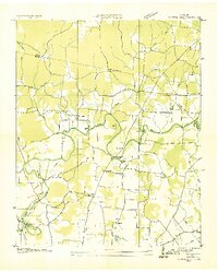
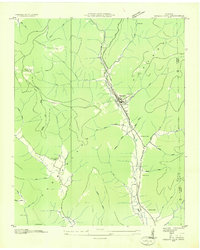
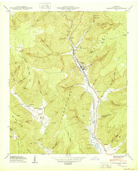
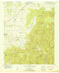
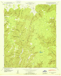
Historical Maps of Sal City Through Time
35 maps found
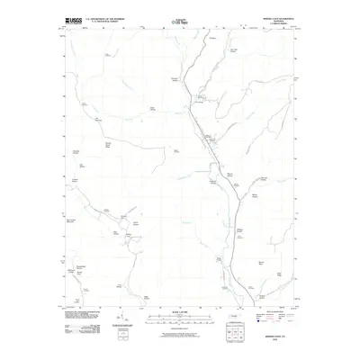
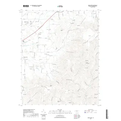
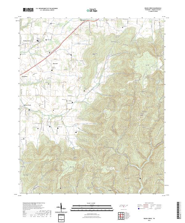
1936 Beans Creek
Franklin County, TN

1936 Camp Peay
Franklin County, TN
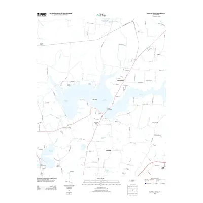
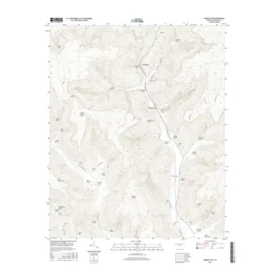
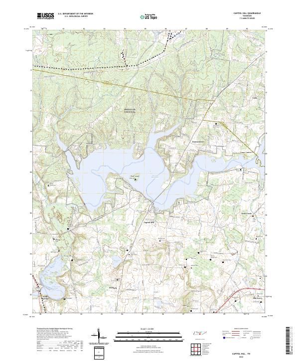
1936 Capitol Hill
Franklin County, TN
1936 Pitcher Ridge
Franklin County, TN
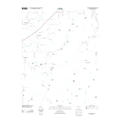
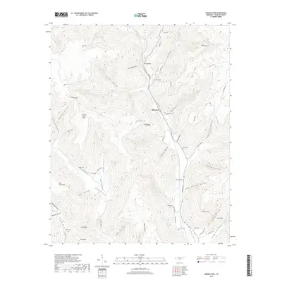
1936 Sinking Cove
Franklin County, TN
1941 Camp Forrest
Franklin County, TN
1941 Capitol Hill
Franklin County, TN
1947 Sinking Cove
Franklin County, TN
1948 Beans Creek
Franklin County, TN
1948 Pitcher Ridge
Franklin County, TN
1950 Sinking Cove
Franklin County, TN
1951 Beans Creek
Franklin County, TN
1951 Pitcher Ridge
Franklin County, TN
1962 Capitol Hill
Franklin County, TN
1972 Capitol Hill
Franklin County, TN
2010 Beans Creek
Franklin County, TN
2010 Capitol Hill
Franklin County, TN
2010 Pitcher Ridge
Franklin County, TN
2010 Sinking Cove
Franklin County, TN
2013 Beans Creek
Franklin County, TN
2013 Capitol Hill
Franklin County, TN
2013 Pitcher Ridge
Franklin County, TN
2013 Sinking Cove
Franklin County, TN
2016 Beans Creek
Franklin County, TN
2016 Capitol Hill
Franklin County, TN
2016 Pitcher Ridge
Franklin County, TN
2016 Sinking Cove
Franklin County, TN
2019 Beans Creek
Franklin County, TN
2019 Capitol Hill
Franklin County, TN
2019 Pitcher Ridge
Franklin County, TN
2019 Sinking Cove
Franklin County, TN
2022 Beans Creek
Franklin County, TN
2022 Capitol Hill
Franklin County, TN
2022 Pitcher Ridge
Franklin County, TN

2022 Sinking Cove
Franklin County, TN