
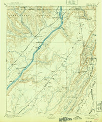
1895 Map of Stevenson
USGS Topo · Published 1895About this map
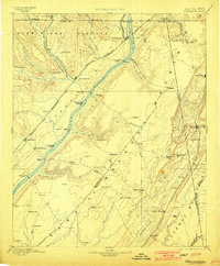
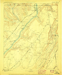
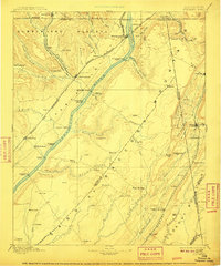
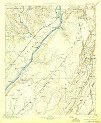
The Tennessee River serves as the central artery for this 1895 survey, cutting through the high plateau country at the tri-state junction of Alabama, Georgia, and Tennessee. This was a critical corridor for transport before the modern dam systems, evidenced by the numerous river crossings like Island Creek Ferry, Caperton Ferry, and Coffeys Ferry. The railroad network is equally prominent, with the Nashville Chattanooga and St. Louis R.R. Main Line and the Memphis and Charleston R.R. intersecting at the vital rail junction of Stevenson.
Find a feature on this map
92 named features on this map. Tap any name to fly to it.
Don’t see what you’re looking for? This feature index may not catch every label — zoom into the map to look around manually.
Map Details
Editions of this 1895 Stevenson Map
6 editions found
Other maps of this area

1885 · Gadsden
USGS Topo · 1:125,000

1886 · Ringgold
USGS Topo · 1:125,000

1886 · Rome
USGS Topo · 1:125,000

1886 · Stevenson
USGS Topo · 1:125,000

1888 · Gadsden
USGS Topo · 1:125,000

1888 · Chattanooga
USGS Topo · 1:125,000

1888 · Scottsboro
USGS Topo · 1:125,000

1892 · Ringgold
USGS Topo · 1:125,000

1892 · Scottsboro
USGS Topo · 1:125,000

1892 · Stevenson
USGS Topo · 1:125,000