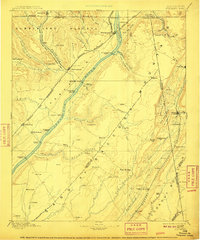
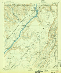
1895 Map of Stevenson
USGS Topo · Published 1910About this map
The Tennessee River serves as the central artery for this late 19th-century landscape, carving a wide path between the Cumberland Plateau and Sand Mountain. This region is defined by a reliance on river crossings and rail connections before modern bridge infrastructure became commonplace, as evidenced by Island Creek Ferry, Caperton Ferry, and Coffeys Ferry. Large river islands like Crowtown Island and Bellefonte Island are prominent features of the waterway during this era.
Find a feature on this map
104 named features on this map. Tap any name to fly to it.
Don’t see what you’re looking for? This feature index may not catch every label — zoom into the map to look around manually.
Map Details
Editions of this 1895 Stevenson Map
6 editions found

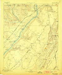
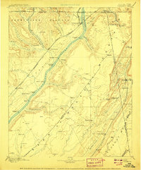
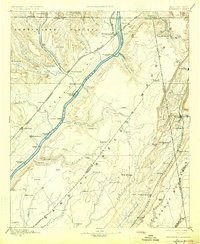
Other maps of this area

1885 · Gadsden
USGS Topo · 1:125,000

1886 · Ringgold
USGS Topo · 1:125,000

1886 · Rome
USGS Topo · 1:125,000

1886 · Stevenson
USGS Topo · 1:125,000

1888 · Gadsden
USGS Topo · 1:125,000

1888 · Chattanooga
USGS Topo · 1:125,000

1888 · Scottsboro
USGS Topo · 1:125,000

1892 · Ringgold
USGS Topo · 1:125,000

1892 · Scottsboro
USGS Topo · 1:125,000

1892 · Stevenson
USGS Topo · 1:125,000