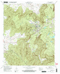
1974 Map of Sewanee
USGS Topo · Published 1977About this map
The University of the South anchors this portion of the Cumberland Plateau, where the rugged escarpment meets the valleys of Roark Cove and Miller Cove. In the mid-1970s, the academic community at Sewanee was well-established, featuring the Sewanee Academy and the University of the South-Franklin County Airport. The landscape is a mix of intellectual centers and traditional mountain life, with numerous family burial grounds like St Marys Cem and Hawkins Cem scattered near the steep bluffs.
Find a feature on this map
75 named features on this map. Tap any name to fly to it.
Don’t see what you’re looking for? This feature index may not catch every label — zoom into the map to look around manually.
Map Details
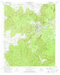
Editions of this 1974 Sewanee Map
2 editions found
Other maps of this area

1895 · Sewanee
USGS Topo · 1:125,000

1928 · Decherd
USGS Topo · 1:62,500

1936 · Sewanee
USGS Topo · 1:24,000

1936 · Alto
USGS Topo · 1:24,000

1936 · Orme
USGS Topo · 1:24,000

1936 · Sinking Cove
USGS Topo · 1:24,000

1936 · Burrow Cove
USGS Topo · 1:24,000

1936 · Monteagle
USGS Topo · 1:24,000

1936 · Winchester
USGS Topo · 1:24,000

1936 · Pitcher Ridge
USGS Topo · 1:24,000